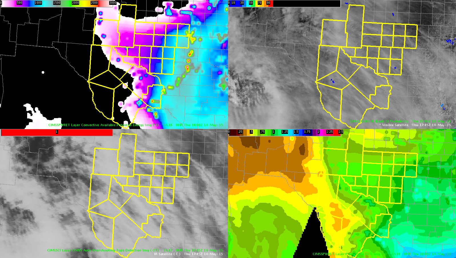
As we wait for storms to develop in MAF, I am monitoring a few GOES-R products to track the impeding chance for storms and severe weather. Higher layer CAPE values continue to move into the cwa, especially the eastern half. There is some moisture potential available in the atmosphere, demonstrated by layered PW. The PW is not necessarily high, but existent with a surge as far west as our New Mexico counties in the cwa. There is a steep decrease in CAPE and PW in the extreme western portion of the cwa. This encourages the forecaster to focus attention in central cwa for development through the course of the afternoon. UFFSU