
Another solid day in the HWT as our forecasters remained in LWX and OHX for the duration of their shift. All experimental products (yes! even OUNWRF) were evaluated today.
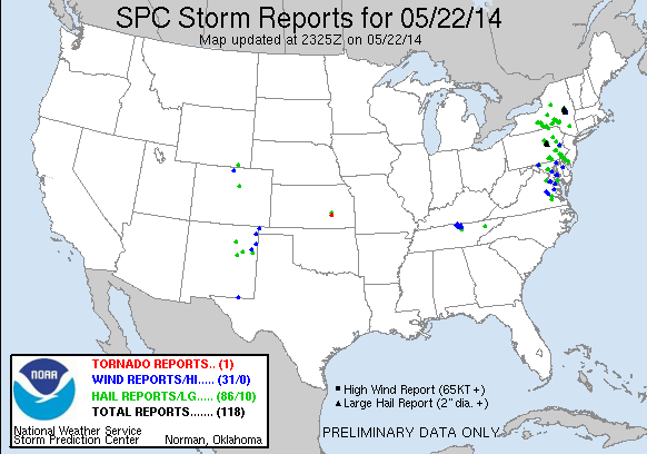
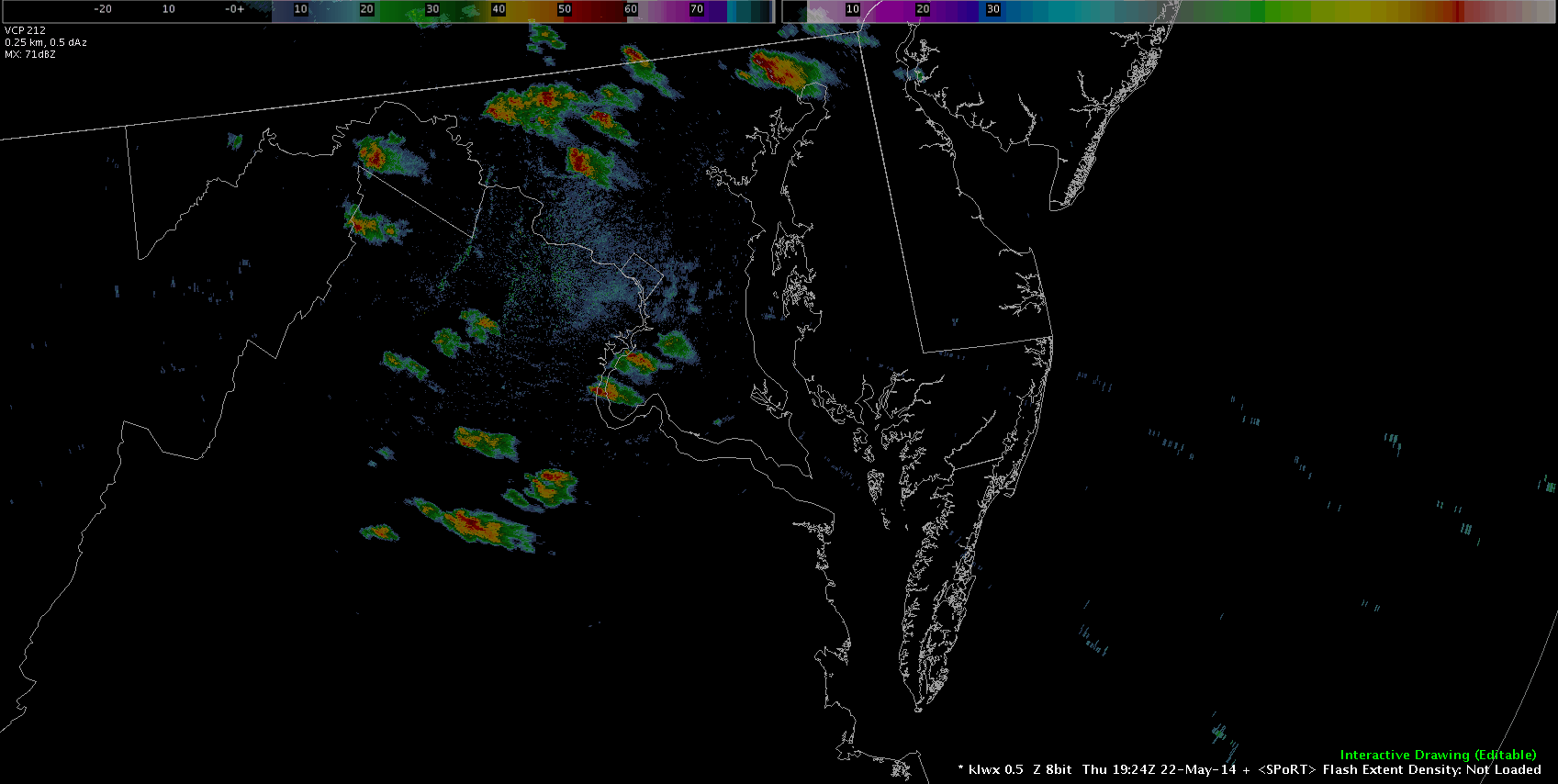
Our LWX team was able to evaluate pre-CI potential using GOES-R CI, LAPS, NearCast, and ProbSevere. When storms got close to LWX our team (Grant and Danielle) were able to use DCLMA network to evaluate total lightning and lightning jumps. The were several preliminary reports of hail and wind damage in the region passed along by our volunteers which helped forecasters validate what they were seeing in the experimental datasets.
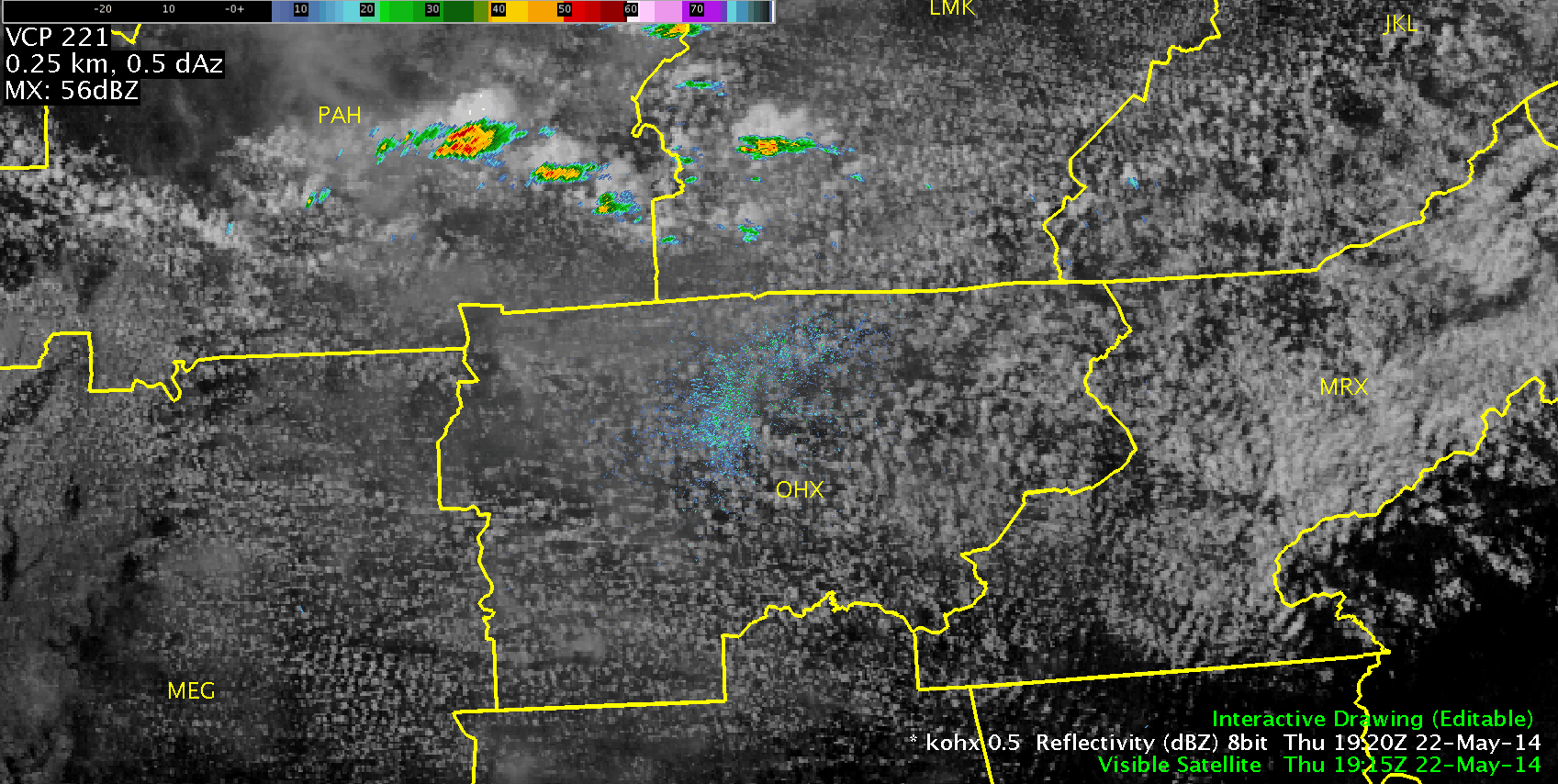
Our OHX team waited anxiously as slow moving storms fired in the LMK and PAH CWAs with NW flow pushing slowly into the CWA. Once again, forecasters had some time pre-CI to get a feel for how the GOES-R and LAPS products were able to diagnose areas of instability and identify storm growth and intensity. The Overshooting Top Detection product was evaluated frequently in conjunction with the Super-Rapid Scan imagery in this domain with a fair amount of detections occurring today.
Furthermore, our visiting forecaster from the Air Force Weather Agency, James McCormick, worked with Gabe to thoroughly evaluate OUNWRF across the entire domain. Many thanks to him for giving us a focused set of eyes on this!
-Darrel Kingfield
EWP Week 3 Coordinator