

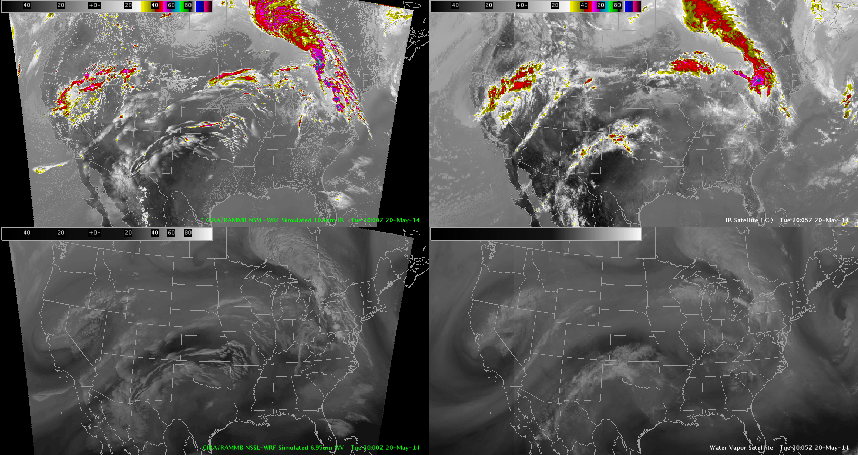
So if I go with this model you can see below convection would initiate between 22-23Z over Central Iowa and S. Wisconsin bordering N. Illinois and then move East-Southeast.
This actually would be supported since the environment looks unstable that it is moving into. You can see on the Nearcast GOES Vertical Theta E Diff Mid Low that the high instability is from Central Iowa to N. Illinois and it looks like a boundary is there as well.

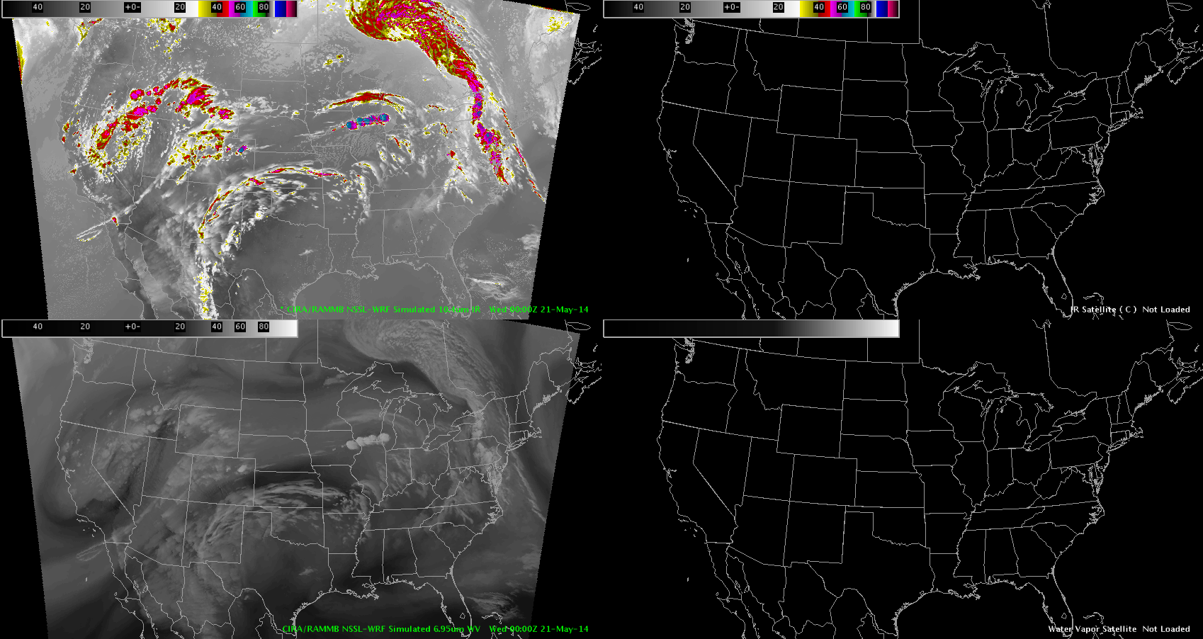
So now we shall wait and see if this actually occurs. My watered down mesoscale discussion – Vollmar