
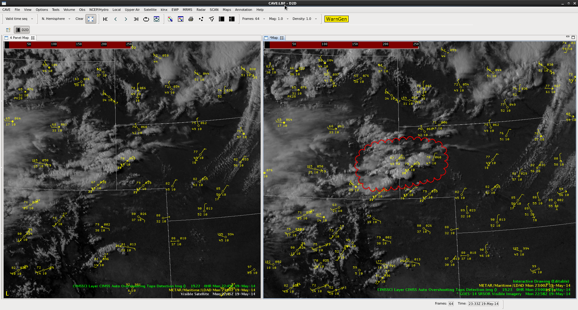
Having one minute satellite data available to be able to see the finer details of storm evolution/de-evolution is one of those products that is incredibly helpful. In the screen capture below, you can see a side-by-side picture of the traditional view of visible satellite data only being updated every 15 minutes (with a longer lag time to actually ingest the product for viewing) on the left and super-rapid scan on the right. Between 2245Z (left) and 2258Z (right), you can see what has occurred near the WY/NB border in just a 13 minute time period. While not terribly significant with this evening’s weather activity, it is still noteworthy and I can only imagine the cloud features that we’re missing to indicate storm development and trends without SRSOR.
~Linda