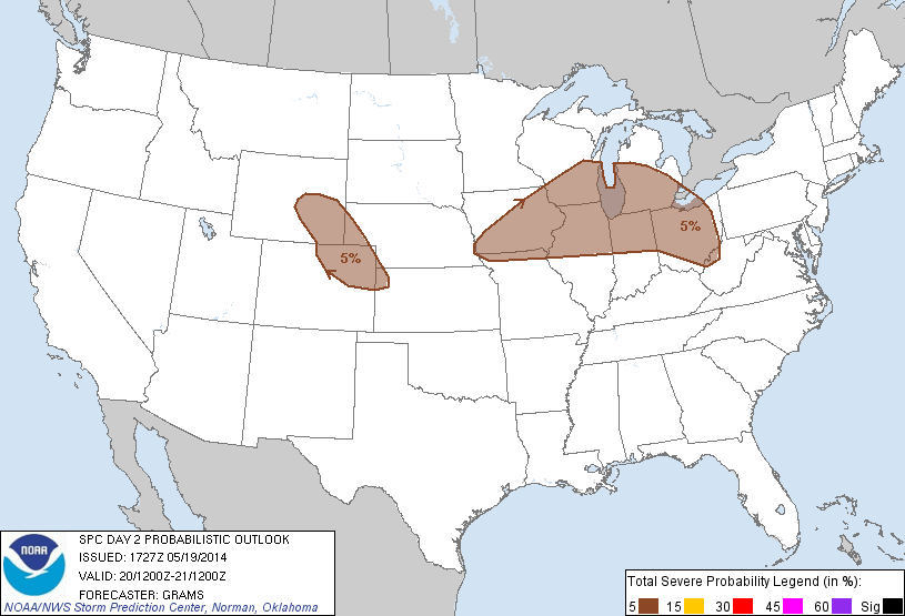
Another somewhat marginal day ahead for Tuesday with a two possible regions of potential convective initiation during the afternoon hours. SPC Provides two regions with a “SEE TEXT” designation.

1) Northern Colorado/SE Wyoming – Upslope flow as the low pressure moves south through Nevada will provide a lifting component but lack of forecast surface moisture provides low confidence in sustained deep convection over the area. Regardless, high-based convective potential will be entertained in this region due to its collocation with the Northern Colorado LMA.
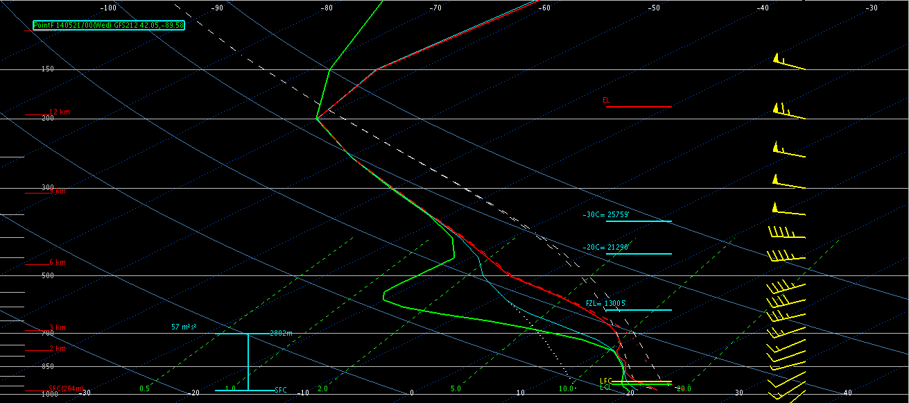
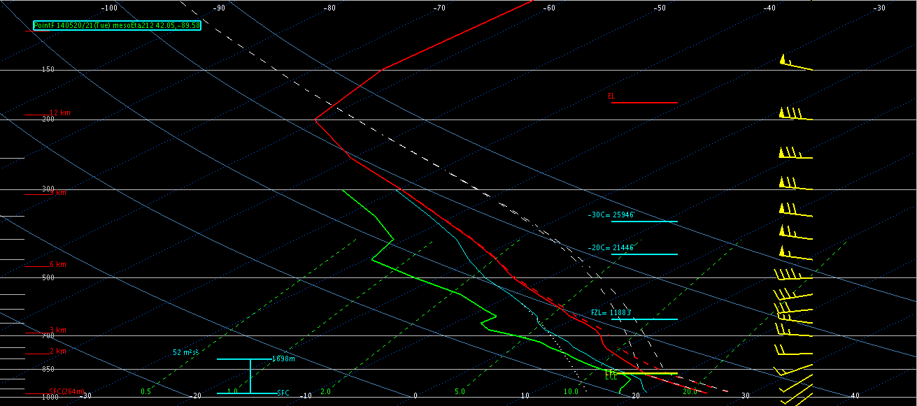
2) Northern Illinois/Southern Wisconsin – A cold front will progress across the upper Midwest through Tuesday, paired with surface moisture feeding into the region from the south. Forecast soundings show a weakening inversion from 21z to 00z where in NW Illinois, SW Wisconsin where the front is forecasted to propagate tomorrow afternoon. This coupled with high unidirectional shear aloft will provide the best change for long-lived convection with wind and hail being the primary threats.


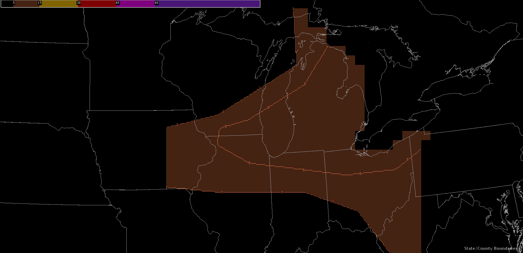
EFP Day 2 probabilistic forecasts match this assessment with 5%-10% probabilities of wind/hail in the area.

We will meet in the HWT at 1pm to participate in the EFP forecast briefing before having the Monday product debrief in the Dev Lab.
-Darrel Kingfield
EWP Week 3 Coordinator

