

Forecasters are getting acclimated to AWIPS-2 as we sit and wait for convective initiation ahead of a shortwave trough in SE Wyoming and W Nebraska. We are currently operating from the Cheyenne (CYS) and North Platte (LBF) CWAs.
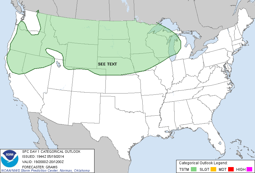
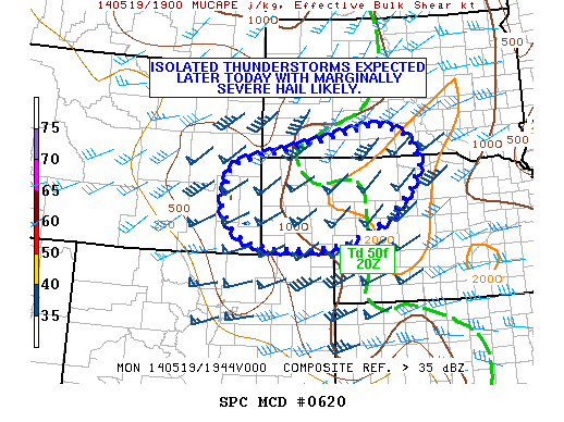
The downgrade of the “SLGT” risk to a “SEE TEXT” at the 20z SPC Day 1 Outlook and the “WATCH UNLIKELY” Mesoscale Discussion will not dampen our spirits.
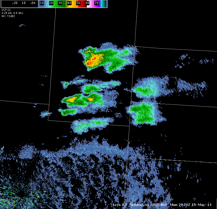
KCYS is showing the first 40+ dBZ echo of the day in Goshen County, WY and with the airmass over the region continuing to destabilize, we are holding out hope that we will see some isolated convection in both CWAs in the next few hours.
-Darrel Kingfield
EWP Week 3 Coordinator