

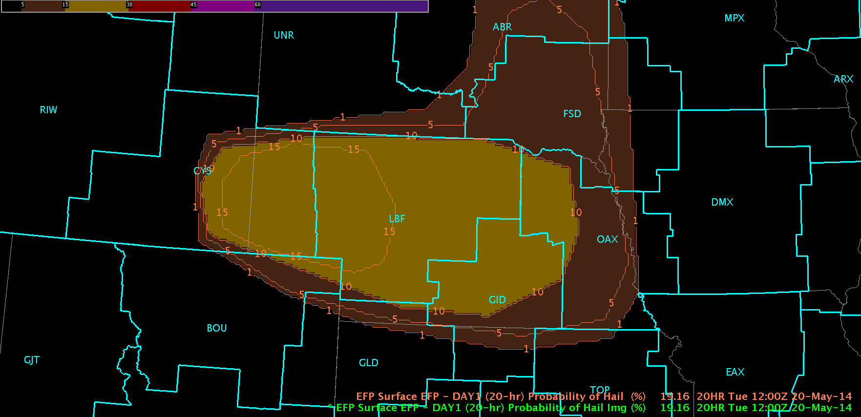
Today started with such promise (or blind optimism…whatever you want to call it): an isolated region of “SLGT” risk encompassing parts of of SE Wyoming and W Nebraska with many storm-scale models showing isolated thunderstorm initiation around 21z. EFP probabilistic forecasts were focused in this area as well.
Forecasters were situated in the Cheyenne, WY (CYS) and North Platte, NE (LBF) for the duration of the shift on the edge of their seats waiting for initiation.
We must realize that not all days will be “end of the world” scenarios, and today provided a great medium for forecasters to be exposed to several of the experimental product sets for comparative analysis and evaluation (sans OUNWRF).

vLAPS was utilized to (1) identify and diagnose regions of enhanced instability (mainly CAPE) and (2) validate forecast composite reflectivity with MR/MS composite reflectivity. Throughout the day, comparative analyses of the NSSL-WRF simulated satellite imagery with real-time IR/WV fields were analysed. Any convection was immediately pounced upon with Super-Rapid Scan visible analysis, ProbSevere and Convective Initiation product analyses. NearCast was utilized to gauge storm lifetime and identify regions of destabilization.
The tracking meteogram was put through its paces today with numerous data dropouts observed in the time trend graph during periods were these data were available. Forecasters consistently wanted to use the 0.5 deg reflectivity mosaic product for tracking.
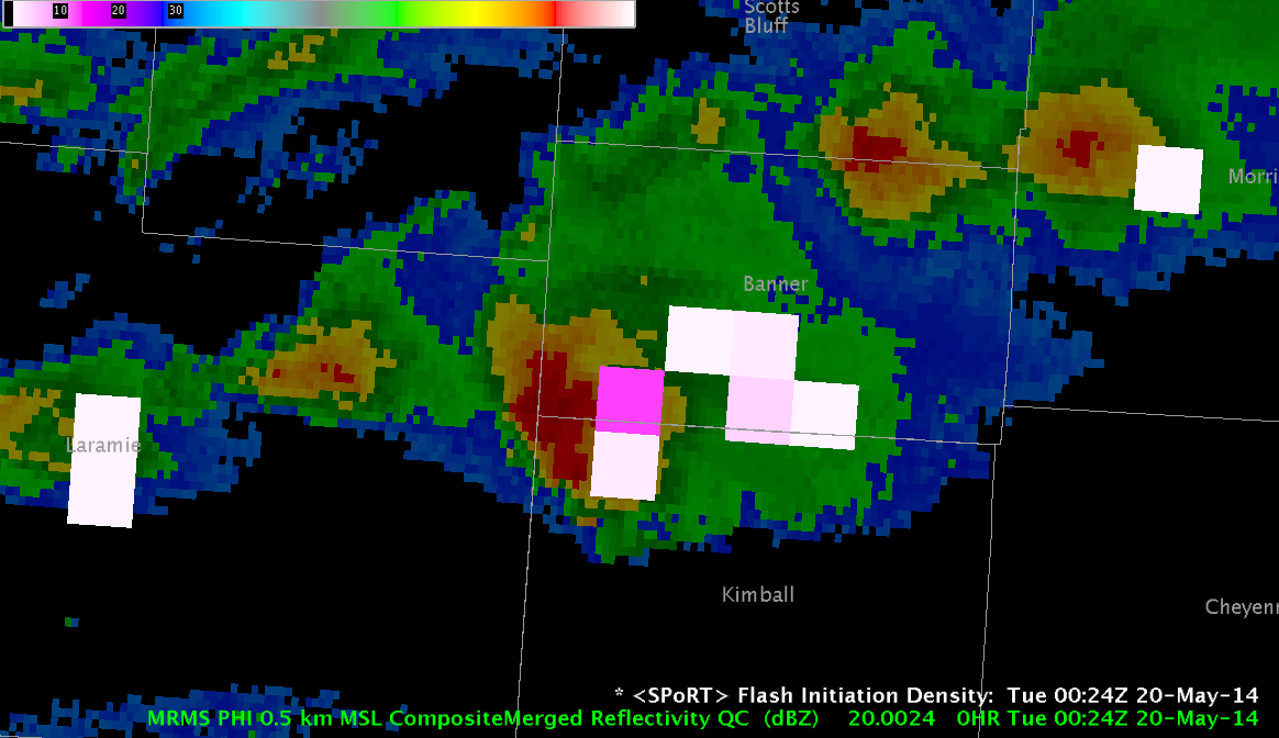
Near the end of the shift, total lightning from the Northern Colorado LMA was observed in Laramie and Kimball Counties in Wyoming which gave forecasters (1) exposure to the SPoRT LMA plugin and (2) guidance on how total lightning information can be combined with other sensor information (e.g. radar, satellite) in the storm interrogation process.
-Darrel Kingfield
EWP Week 3 Coordinator