

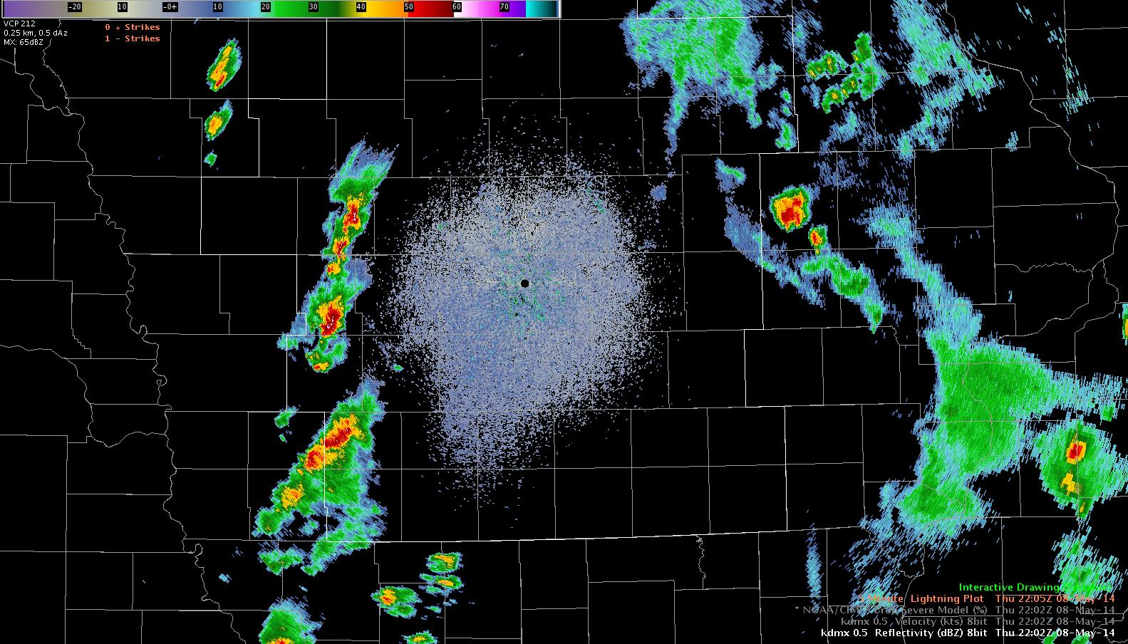
22Z…a broken line of storms continues through western IA. To this point, strong…but not strong enough to warrant warning.
The LAPS model forecast for 22Z is below
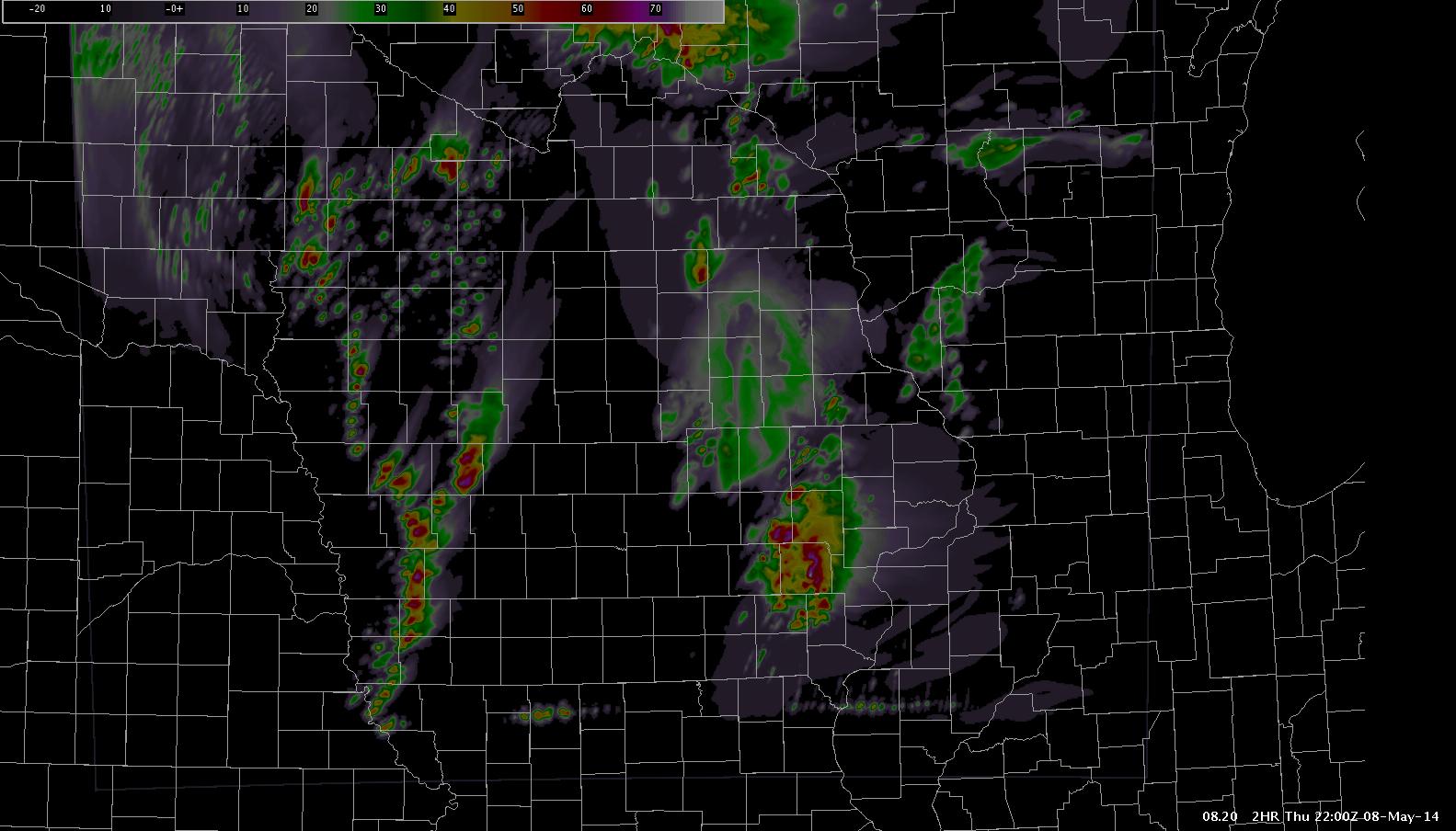
Catches the basic idea of the shape/character of convection to the west, but just a little off in location.
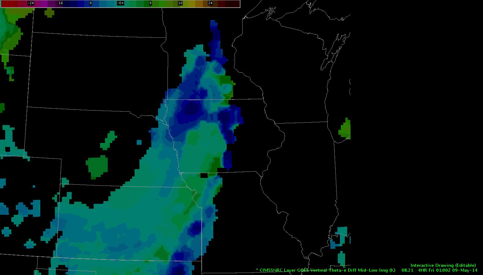
Here’s the Nearcast instability forecast looking ahead four hours…highest instability will lift northeast, and this batch of convection will move with it. Notice lingering instability (relatively speaking)near the NE/IA border.
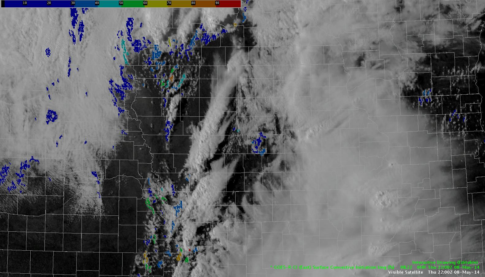
The CI product shows the potential for more convection to develop along the main cold front behind our initial line. Expecting this activity, should it take hold, will be less of a concern with lower instability to work with compared to the first line.
db