

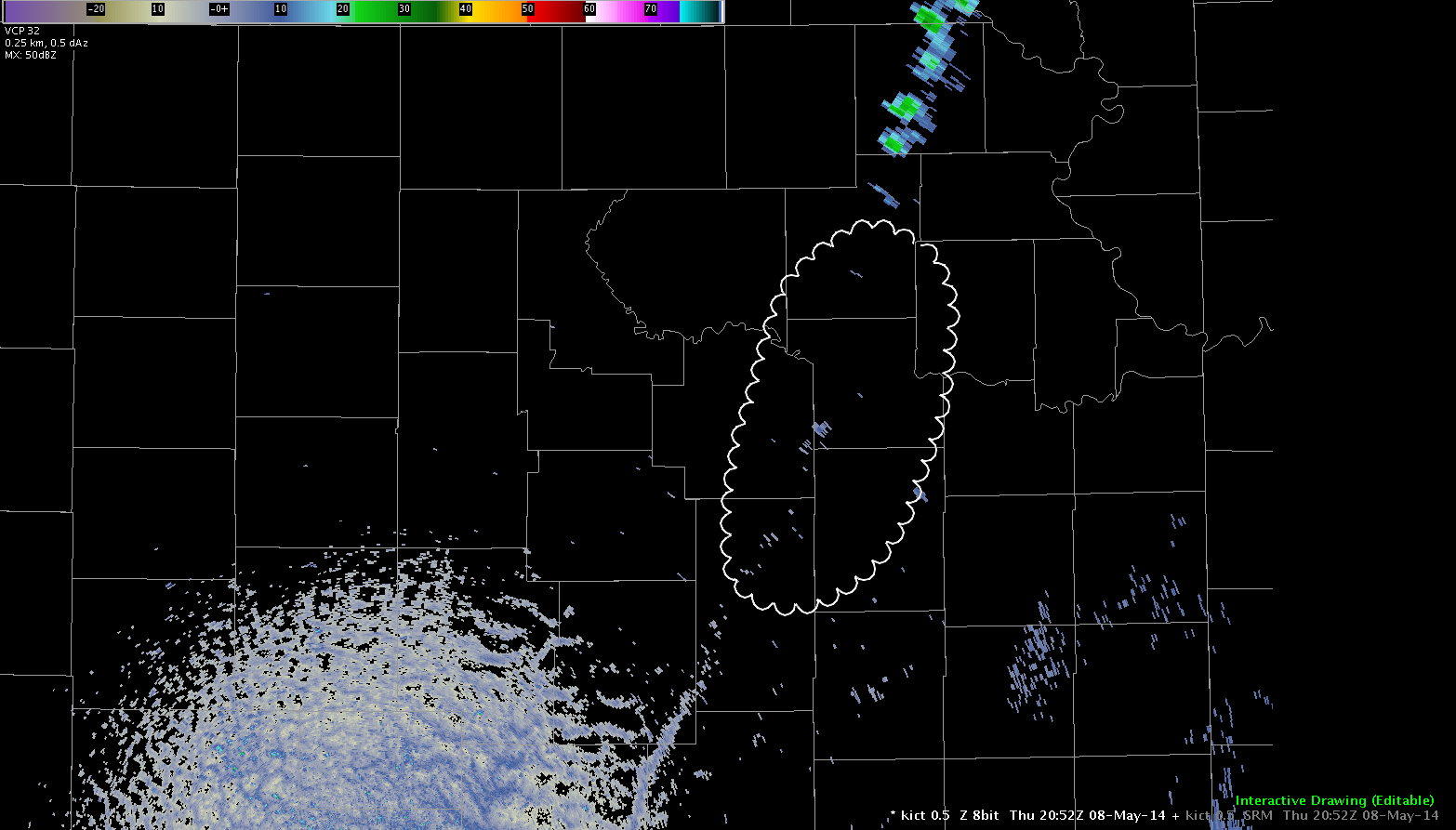

Today the GOES-14 SRSOR is updating at one minute intervals. This provides an excellent opportunity to see how quickly cloud tops develop, even well before the radar updates. In the first image you can see the void in the circled area. This general area is the same area in which clouds have already developed and are beginning to can upper level winds.
Update: Showers and thunderstorms have initiated in the same area that satellite feed was showing the high tops. The one minute feed gave great lead time in this instance.
Jared Maples