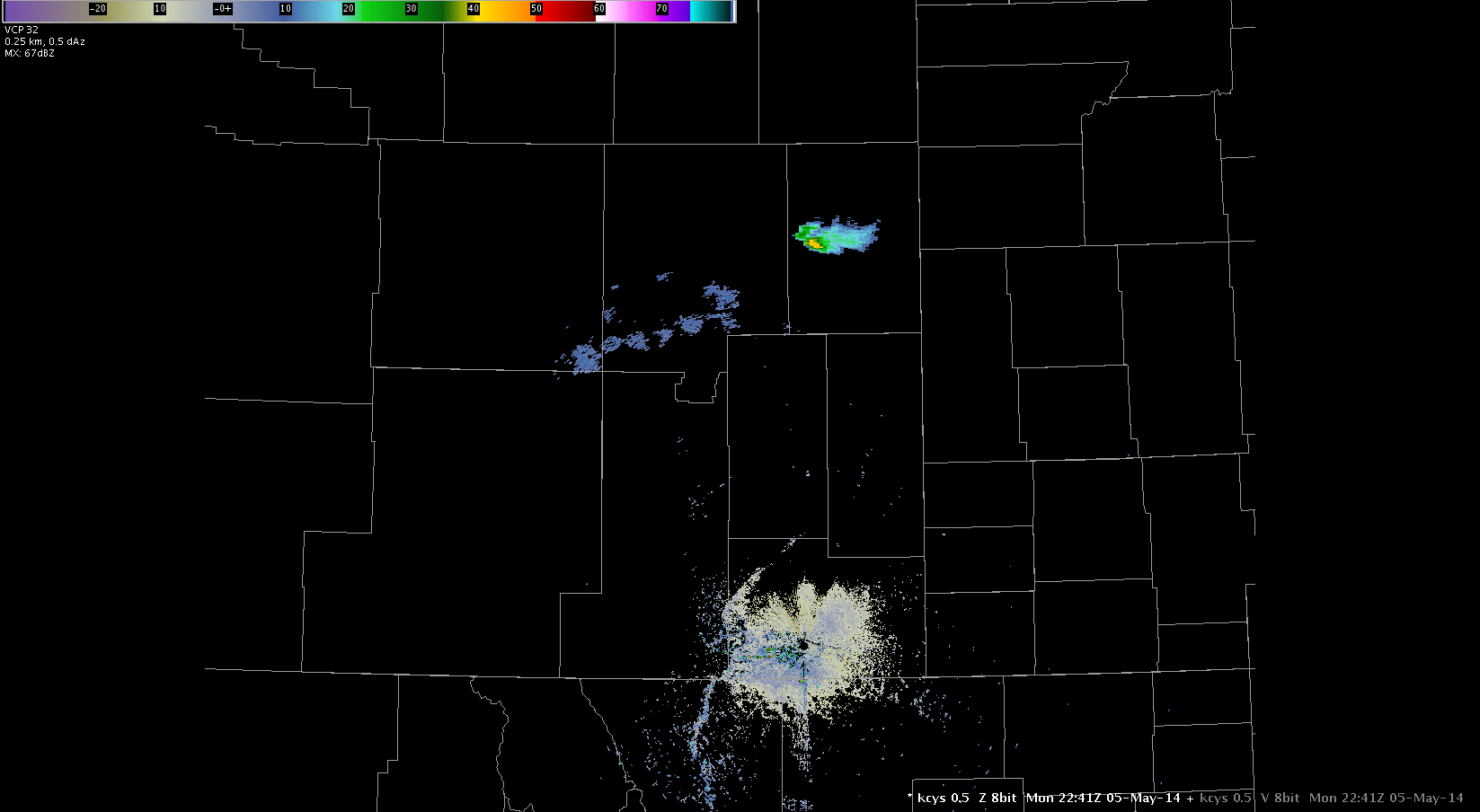
I had been scouring through some of the satellite and radar images in East Central Wyoming. WV/IR was showing some of the higher cloud tops through Southeast Wyoming. At one point a small area was depicted on the OTD. At this time, there was no activity on radar through southeast Wyoming.
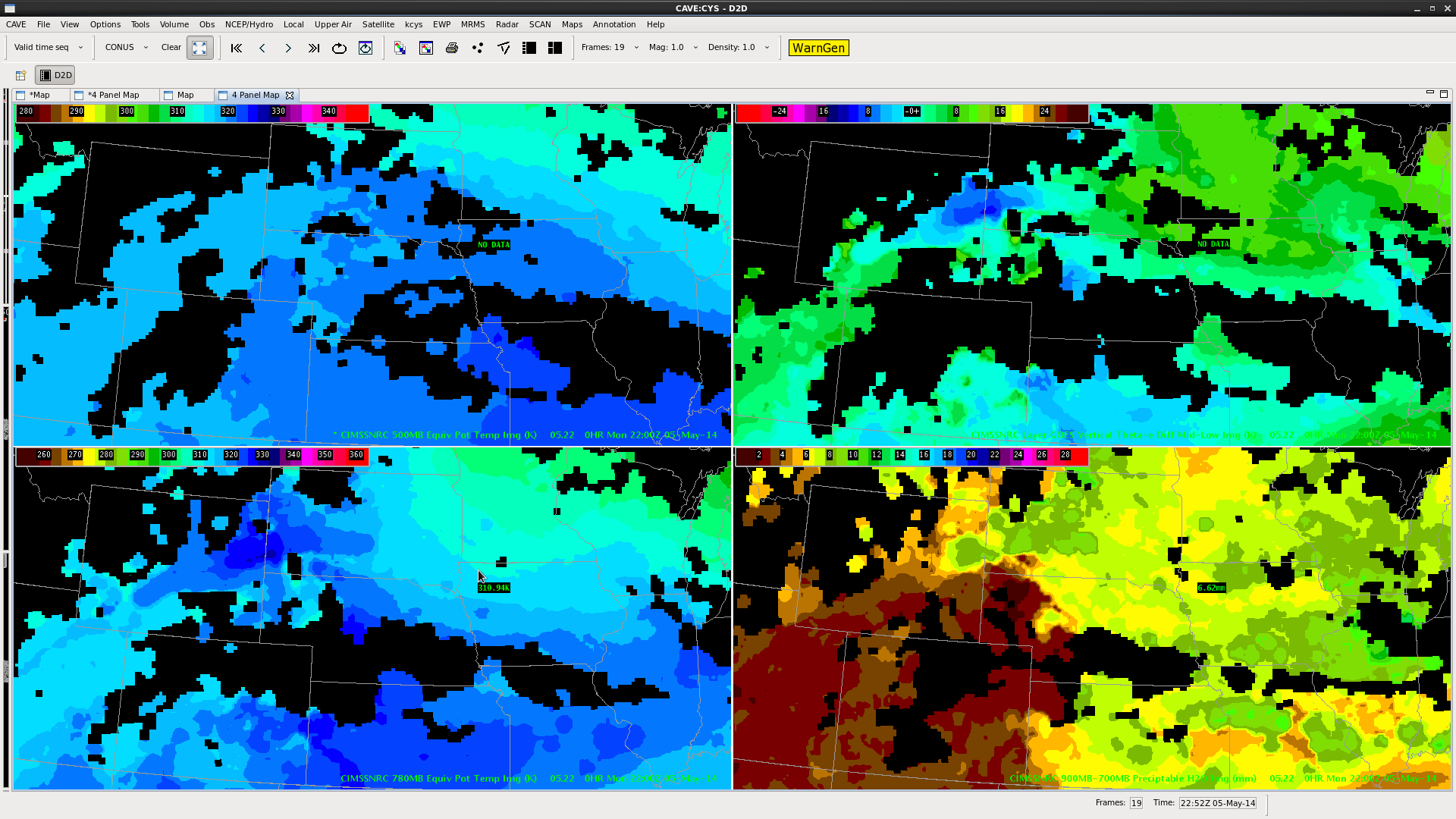
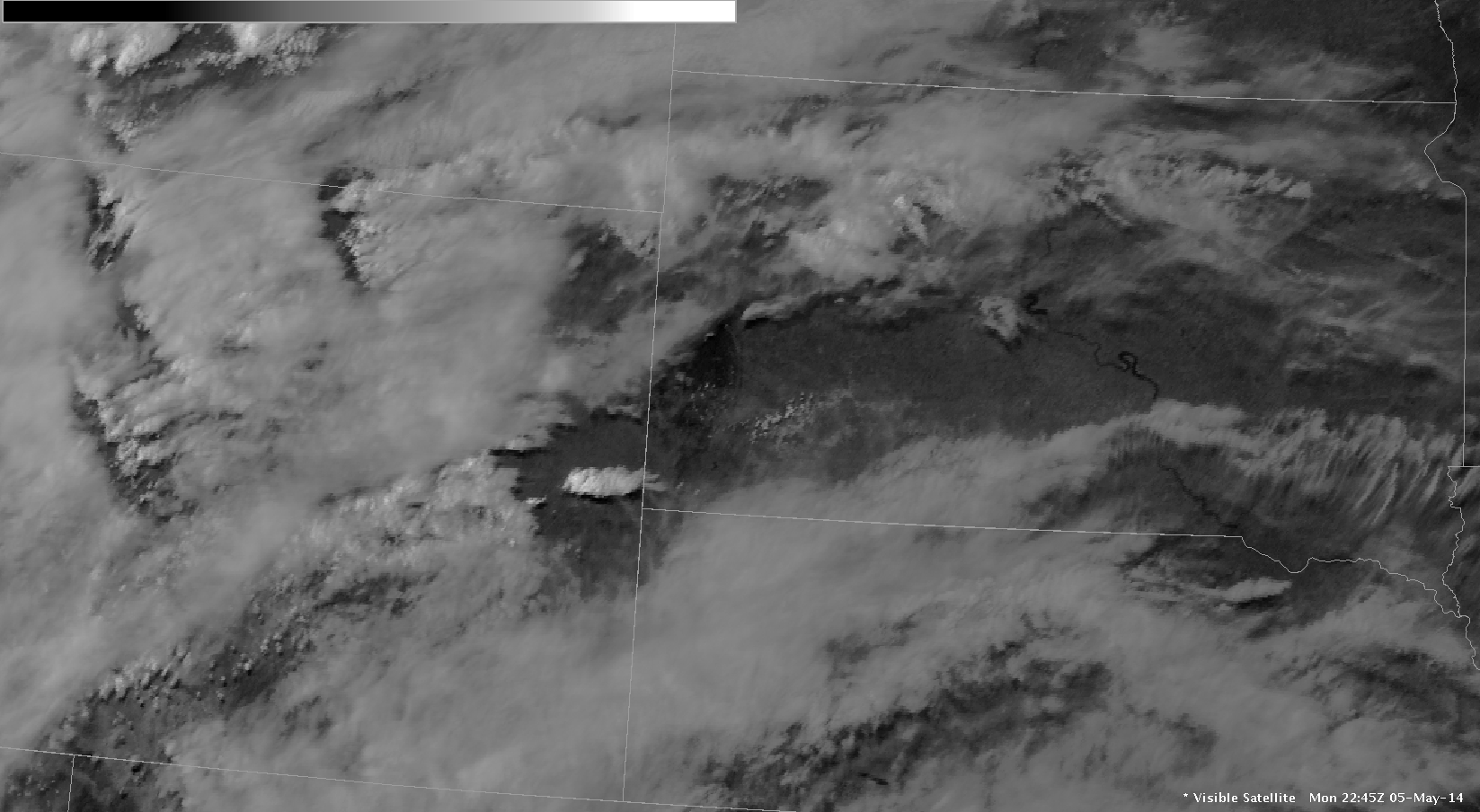
On visible satellite, clouds began to develop in East Central Wyoming. This is where some of the first radar returns were coming in at 40+ dbz. When referring to the Nearcast the vertical Theta-e Diff was showing as much as -10.6K. It was on the edge of this difference (gradient) where convection was taking place, as seen below.