

I was wondering why LAPS constantly showed weakening trends with discrete storms entering a north-south aligned CAPE tongue just west of KABI. Rapid strengthening occurred just after initiation:
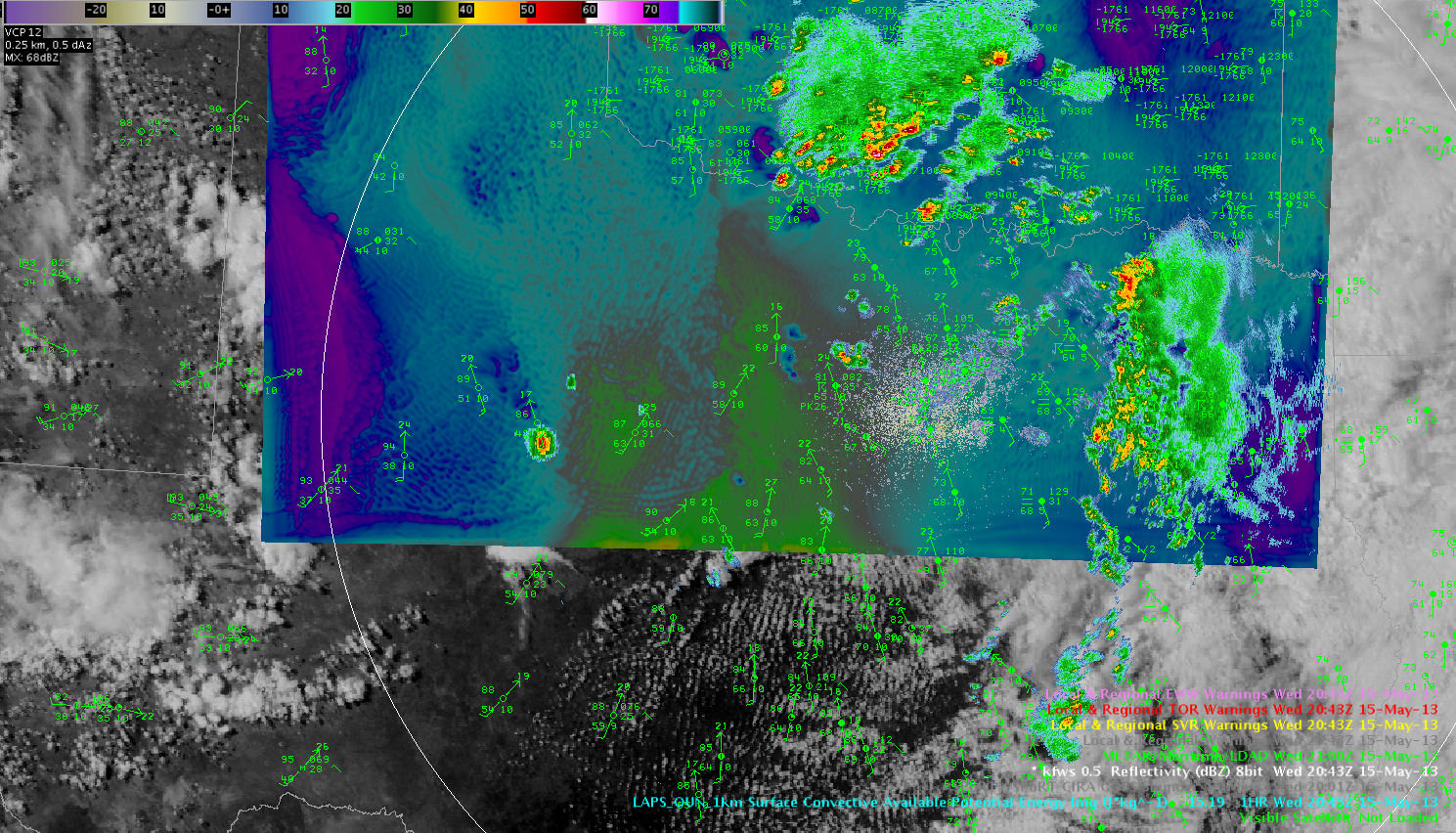 LAPS 1km overlaid with reflectivity/VIS.
CAPE (LAPS) peaked in excess of 2000 J/kg in the area where storms were expected to move in. However, as seen below, storms gradually weakened during the following scans and so did the CAPE plume in LAPS:
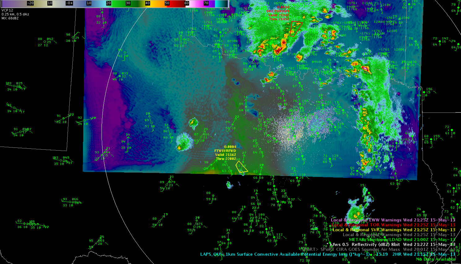 The guess is that there was some strengthening of the dryline with enhanced postfrontal mixing occurring (personal talk). Also, there might be an evolving dryline bulge to the southwest of Dallas. Accompanied broadening area of backing winds is now present to the east/northeast of the decaying storms and the focus for initiation of most intense storms in the next few hours remains next to the Dallas/Fort Worth area (as constantly seen in OUN WRF/LAPS). 2145Z features 15-20 kt SE-early surface winds in this area with rapid thunderstorm growth. Helge