Forecasters have begun operations, localized as the Missoula, MT County Warning Area. Todays initial focus is familiarization with AWIPS2 and the experimental products (where to load, new procedures, etc).
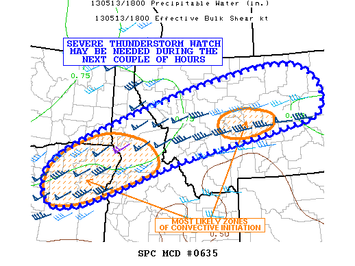
Surface temperatures are reaching the low-to-mid 80s across MT, with a bit of downslope flow on the southern end continuing to dry out the region. A few small storms / showers have begun to form in NE Oregon and across central Idaho. Expectation is for these to expand in area and strength (marginally severe) across the late afternoon and evening. Once storms form, they are expected to move E-NE. Hail and winds are the primary concern today.

K. Calhoun (EWP Week 2, coordinator)

