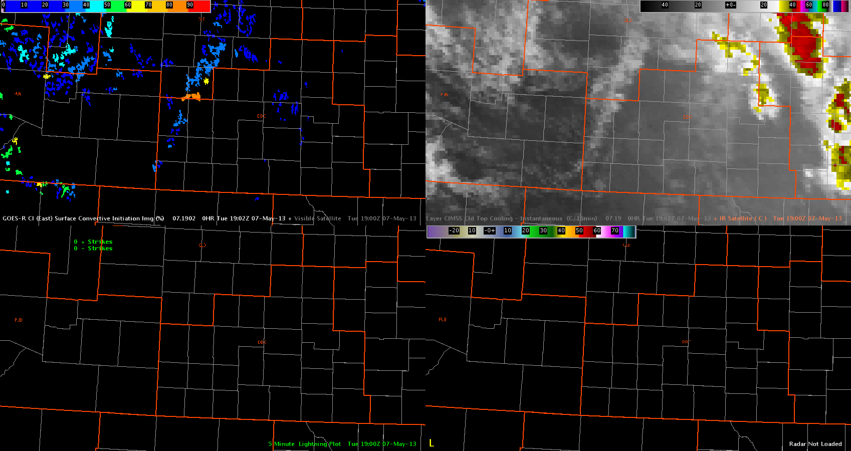
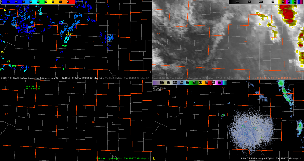
A line of cumulus clouds developed across western Kansas near/after 18Z. EFP/SPC forecasts indicate this as a favorable area for storm development in the next few hours. For now, the GOES-R CI product is indicating generally low probabilities of convective initiation along this line of towering cumulus (20-60 percent).
One area with a probability of 80 percent developed, at around the same time that a small/weak cell (Z < 35 dbZ) developed in Wichita County. This indicator decreased below 70 percent in the next few products, as the cell generally failed to develop into anything stronger.
So far, the CI product appears to be correctly indicating that large-scale convective development is not imminent quite yet. Also, the CTC product has not shown any indication of rapid cooling, which also matches the current situation.
–Hatzos


