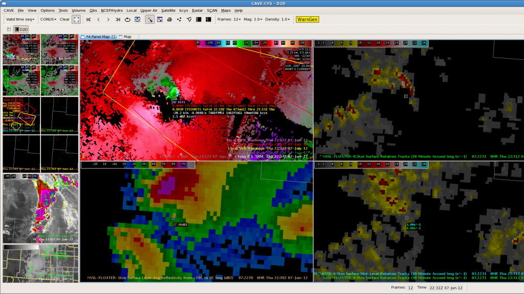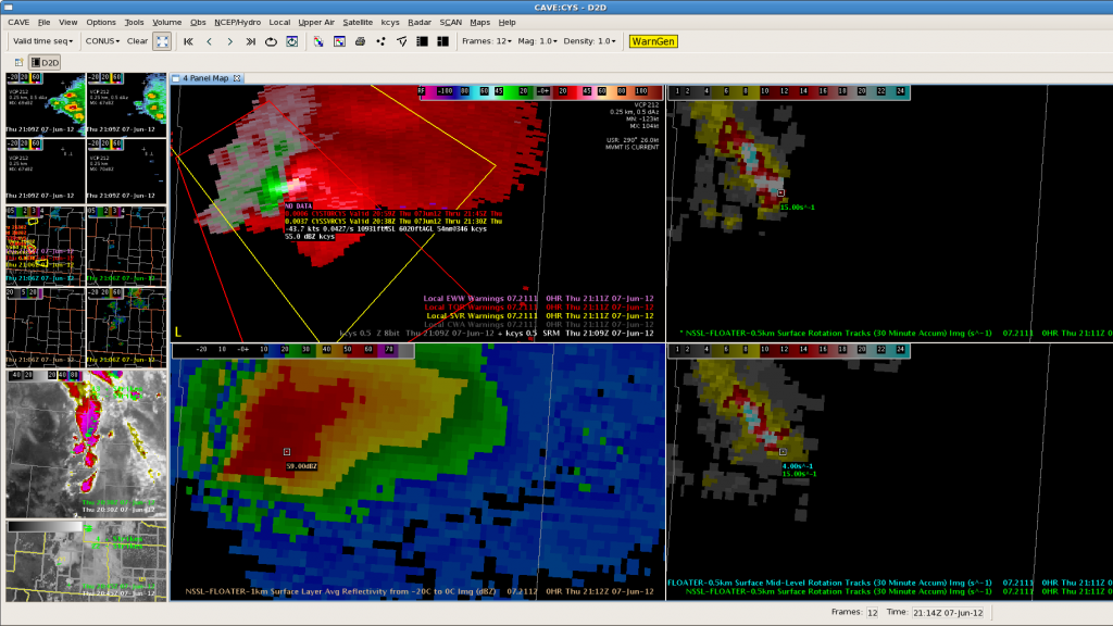
We have big storms as we sit. Limited 3D-VAR domain and data today. -20C is about 17.5kt we sit down and have 55dBZ over 25kft out the door.
Cooling was earlier with our storms with about 10-15 minutes heads up for 1 or 2 of them.
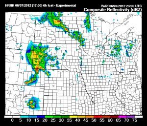
Blog trouble….fixed for now. Looking at HRRR for new cell evolutions. The HRRR promising soon with good evolutions in our SE.
Big storms on KUDX hook echo outside of our CWA. MESH has 1.5 inch hail on our 1 warned storm. SVS issued to update hail size.
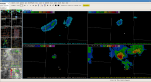
We got one good report of hail in Albany county with the stronger rotating storm. 1.25 inches at Cow Camp our MESH peaked over 2.0 inches.
The big storm with previous hail took on better rotation and RFD increased. Mark issued TOR. Nice looking hook. Where is the worm?
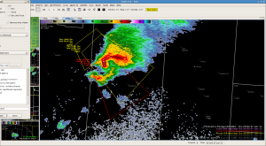
The warning now has golfball size hail and eyes on tornado about 305 Local time. Good rotation track data on this storm. Values near high end of scale, maxing out.
Reissued on storm with good pictures of the tornado. Spotter 7 miles south of Bordeaux at 2142.
more tracks and current velocity. Reports of 2nd tornado.
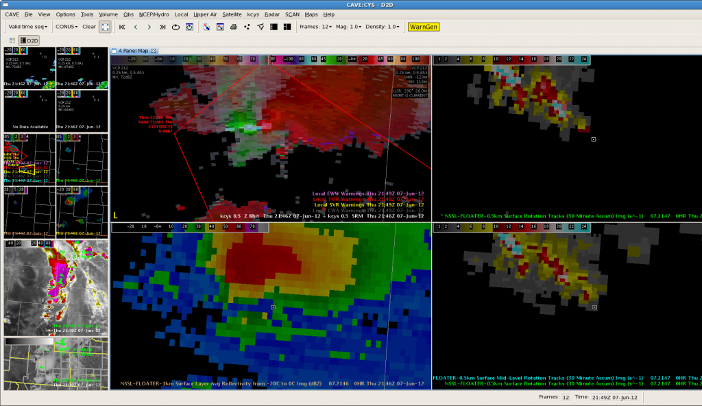
Our main storm still going strong. MESH now firing off on new storms developing to the south. Quiet north. Now have potential 2 inch hail in new storm to south. Began with SVR…Mark issuing 3rd TOR on storm to the north.
New storm developed and quickly spun up. MESH has over 3.25 inches of hail. Good rotation track. Storm may be tornadic. Report now golfball size hail with this new storm. Image included.
