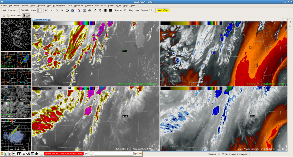
The area over E-Nebraska was monitored for initiation. The synthetic images did a pretty good job in timing of thunderstorm development. The real development occurred only slightly to the north to what the synthetic ones proposed. The model forecast however overestimated the development along the cold front over C/S Kansas, where warm mid-levels prevented DMC of developing until now (although showers finally try to form at 23Z onwards).

Helge
