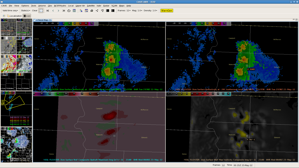
Several severe hail-producing supercells formed early this evening across northern South Dakota. Reports of up to golfball size hail were received. Here, we will focus on some 3DVAR products.

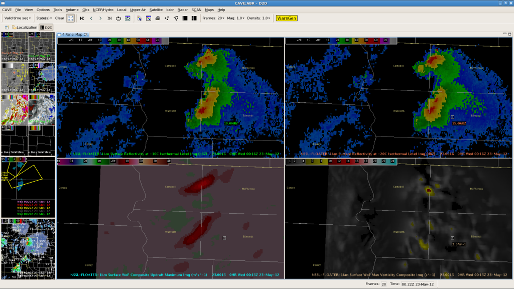
We want to draw your attention to the lower panels (the image was at 00Z). The panel on the left clearly shows three distinct updrafts associated with each of the supercells. The panel on the right shows the magnitude of the vorticity associated with each updraft very distinctly. Let’s look at the next image, 0015Z:

Look at the bottom panels again. You can clearly see the middle and southern storms have merged into one homogenous cell, especially in the updraft image on the left.–Gordon Strassberg for WFO ABR.
