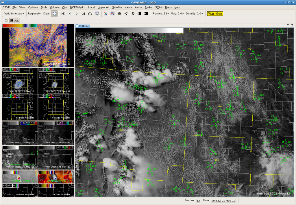
Here we are focusing on the forecast for WFO Amarillo. First, let’s look at current conditions:

With temp/dewpoint spreads approaching 25ºF, the potential for strong downburst winds seems to be the biggest threat with developing convection this afternoon. This is supported by NAM12km forecast soundings which exhibit somewhat inverted-v profiles in the low levels around 21Z. Focus on SW parts of the CWA. There are a few NNW-SSE bands of developing TCU. Now let’s look at the 19Z OUNWRF forecast:

Indeed, if we look at the 19Z OUNWRF forecast, a few cells should initiate in the vicinity of these TCU lines mentioned above by ~2130Z (top left panel). It also shows developing outflow/downburst winds with these cells, though the model forecast does not indicate severe wind gusts quite yet (lower left panel).–Gordon Strassberg/Matt Hirsch–WFO Amarillo Team

