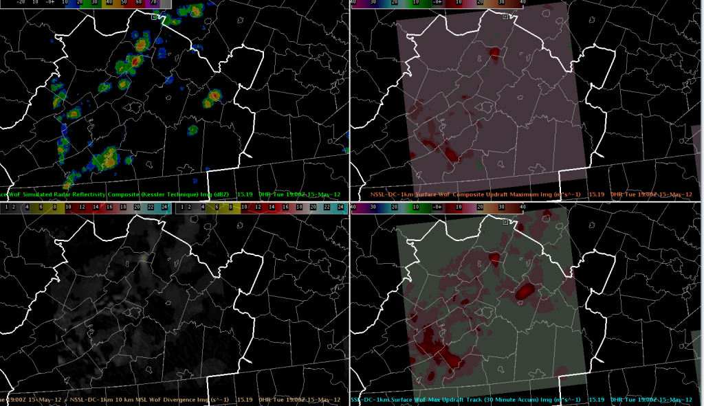
We are monitoring convection in the RNK (Blacksburg, VA) CWA this afternoon, but so far the development has been rather weak.
The 3D-VAR analysis has been useful for monitoring updraft intensity and anticipating possible stronger updrafts (top-right indicates instantaneous updrafts, bottom-right indicates 30-minute updraft history). However, none of the strong updrafts have maintained themselves beyond one “scan”.

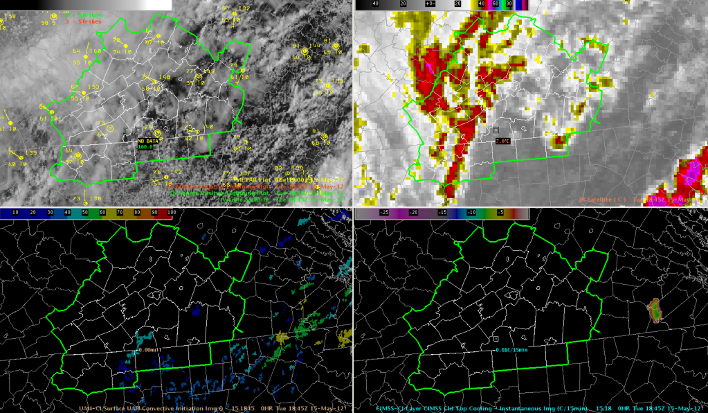
The convective initiation algorithms have struggled due to all of the cirrus blanketing the northwestern half of the RNK CWA, but some clearing in the southeast has produced some CI from the UAH algorithm. Using the new Strength of Signal output, nothing has gotten above ~50 (the included sample is just 46 in the south-central portion of the CWA), and indeed there has been little significant development in those areas. Nothing has triggered the UW Cloud Top Cooling algorithm yet in our area as of 1902 UTC.

