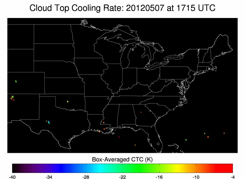
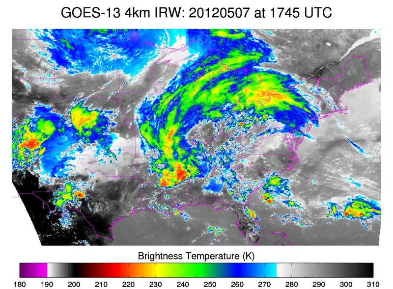
The first image below shows cloud top cooling rates at 1715Z. Note the values of almost -35 K in the light blue over west central TX. The second image below of IR satellite imagery at 1745Z, depicts the beginning phases of strong convection in the same region as the cloud top cooling noted 30 min before strong convection initiated. The CIMSS cloud top cooling product correctly predicted the formation of a complex of strong storms that later became severe during the late afternoon/early evening hours.
RB/AMS


