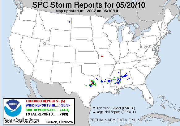
Today we had two IOPs. The first cenetered on a few tornadic storms in the Fort Wroth (FWD) forecast area. The second, evening IOP shifted over to the Northern AL/Southern TN Lightning Mapping Array (LMA) area where we could finally evaluate some of the pseudo-GLM data. The second area ended up with only marginally severe storms, mostly in the southern part of the LMA domain.
The GOES-R activities focused on the PGLM data today, as we finally had an opportunity to look at those data. There is an excellent write up of the PGLM evaluation on the GOES-R HWT Blog. In summary, the forecasters liked being able to overlay the PGLM data on reflectivity products to determine where the most likley developing updrafts were embedded in the larger precip areas. They also compared to the NLDN data, and noted differences between stratiform and convective parts of the precip areas. We did note that the PGLM data was not being properly sampled in AWIPS to the 8 km grid squares, instead being smoothed. This issue was fixed on the WDSSII end after today.
The MRMS producers were more heavily used for the FWD portion of today’s activities, and the forecasters continue to express their comfort level rising throughout the week. Of particular note was that the rotation tracks were really starting to help with the polygon orientation for the tornado warnings. For the Alabama IOP, the focus was mainly not on the MRMS products alone but in conjunction with the lightning products (see above). Only one SVR warning was issued for this IOP.
Greg Stumpf (EWP2010 Operations Coordinator)

