Outlook – 19 May 2009
We begin today wrapping up loose ends from Monday. Forecasters will navigate some archived LMA data for the first time, just to get a feel for the data. We will then spend 45 minutes completing an archive CASA case that was suspended at the end of yesterday, while the PAR group conducts a second archive case. At that point, around 3:30 pm CDT, we hope to attempt a real-time Intensive Operations Period (IOP) for the Multi-Radar/Multi-Sensor project. Today’s target is the Intermountain West, and perhaps the plains of southeast Montana.

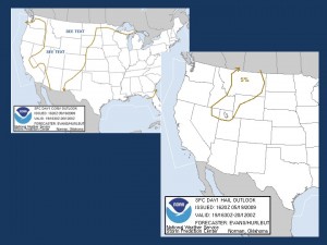
Day 1 Categorical Convective Outlook and Hail Probabilities from the SPC issued 1630Z The region from northern Utah across Idaho/Wyoming and into Montana, is in the warm sector ahead of an advancing Pacific cold front and associated upper level trough. Scattered thunderstorms are forecast to form within a deeply mixed boundary layer. Weak to low-end moderate CAPE and cloud-layer shear of 25 to 40 knots should be sufficient for organized multicell storms with marginal wind and hail threats. There is a chance for a supercell in southeast Montana if storms can root close to the surface…where greater dewpoints to near 50 F have pooled along a quasi-stationary front.

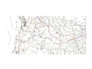
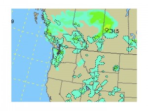
HPC Surface Analysis Midday NAM 6-hr Precip from 18-00 Z May 19, 2009. Image from UCAR
Patrick Burke (EWP Weekly Coordinator, 18-22 May 2009)

