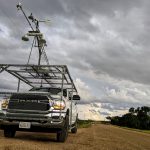
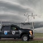
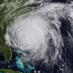
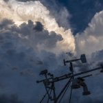
Researchers from NOAA NSSL and the University of Oklahoma traveled to the Texas-Louisiana border near the Gulf of Mexico to collect data during the landfall of Hurricane Laura.
A team of scientists from NOAA and the University of Oklahoma are heading to Florida to collect weather data during the landfall of Hurricane Dorian.
The 2012 Atlantic hurricane season will provide a valuable research opportunity for the Coastal and Inland-Flooding Observation and Warning Project (CI-FLOW).
The Coastal and Inland Flooding Observation and Warning (CI-FLOW) project began producing real-time 84-hour simulations of total water level in coastal North Carolina from Hurricane Irene on Tuesday, August 23.
The collaborative Coastal and Inland-Flooding Observation and Warning Project (CI-FLOW) released a new video demonstrating how their prototype total water level simulation system can help improve NWS flood forecasting and save lives of people residing and working in coastal watersheds.
The goal for the 2010 hurricane season is to demonstrate, in real time, that CI-FLOW can produce realistic simulations of total water level for an actual storm event.
NSSL researchers are partnering with the National Weather Service (NWS) Warning Decision Training Branch (WDTB) and National Sea Grant at the University of Oklahoma to facilitate a training session called “Communicating/Interpreting Crucial Weather Info During a Hurricane Impact” at the 2010 National Hurricane Conference in Orlando, Fla. on March 30, 2010.