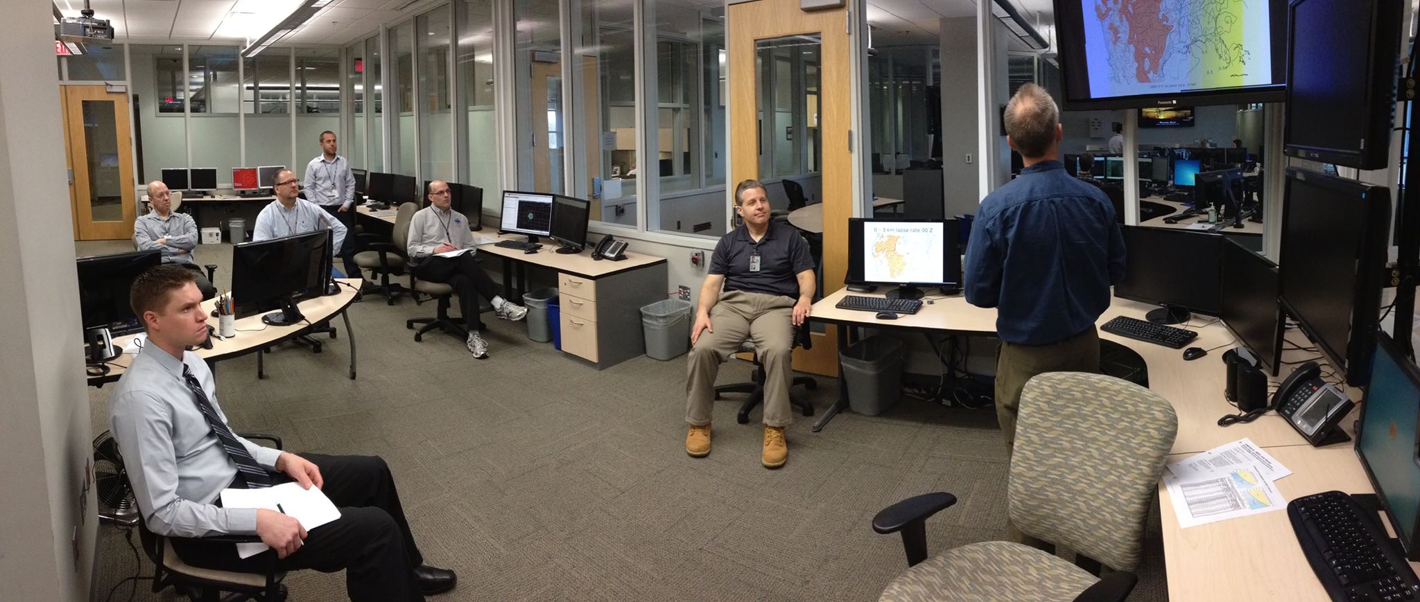
 NSSL researchers are partnering with the National Weather Service (NWS) Warning Decision Training Branch (WDTB) and National Sea Grant at the University of Oklahoma to facilitate a training session called “Communicating/Interpreting Crucial Weather Info During a Hurricane Impact” at the 2010 National Hurricane Conference in Orlando, Fla. on March 30, 2010. Participants will be exposed to an authentic data stream of NWS weather and water information issued before, during and after a tropical system affecting the US. The scenario is designed to offer a perspective on how different audiences receive NWS information, how this information is conveyed to NOAA and NWS stakeholders, and what additional interaction or information each audience needs and values.
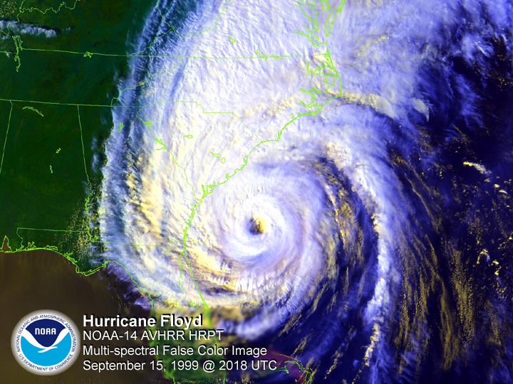
Data from Tropical Storm Ernesto in 2006 will be the focus of the training session. Participants will be assigned to one of three scenario rooms, one functioning as an actual NWS Weather Forecast Office, another as a television station, and the third as an Emergency Operations Center (EOC). To simulate operations as realistically as possible, the EOC room will be led by Emergency Managers from North Carolina. The television room will be led by broadcast meteorologists from South Carolina and Alabama who have consulted with their peers in North Carolina.
The three scenario rooms will be able to communicate between each other to simulate real-world communication pathways. The NWS room will be “issuing” watches and warnings using the NWS Weather Event Simulator. The EOC room will use a mock-up of the NC-First website and North Carolina emergency procedures for response and recovery. In the media room, visuals, text, and broadcasts will be created using actual industry software and technology to provide a live feed of the “on-air broadcaster” to the NWS and EOC rooms.
Participants will be assigned to a scenario room that simulates operations outside of their area of expertise and/or daily job-related duties. This “out-of-role” strategy provides each participant an opportunity to see how information is conveyed and received by another stakeholder and gain insight on what additional information might be useful. One primary outcome of the session is to capture how the NWS informational content and its communication can be improved as a hazard event evolves. A secondary outcome is to conduct a debrief session of all the participants and collect information to use in the creation of an online version of the hurricane scenario by leveraging NWS WDTB Distance Learning Courses.
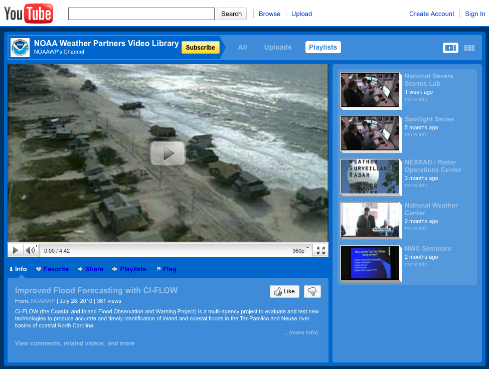
This training session is laying the groundwork for a future scenario that will help to evaluate Coastal and Inland Flooding Observation and Warning Project (CI-FLOW) water products in the near future. CI-FLOW is a multi-agency interdisciplinary research project to evaluate and test new technologies to produce accurate and timely identification of inland and coastal floods in the Tar-Pamlico and Neuse river basins of North Carolina.


