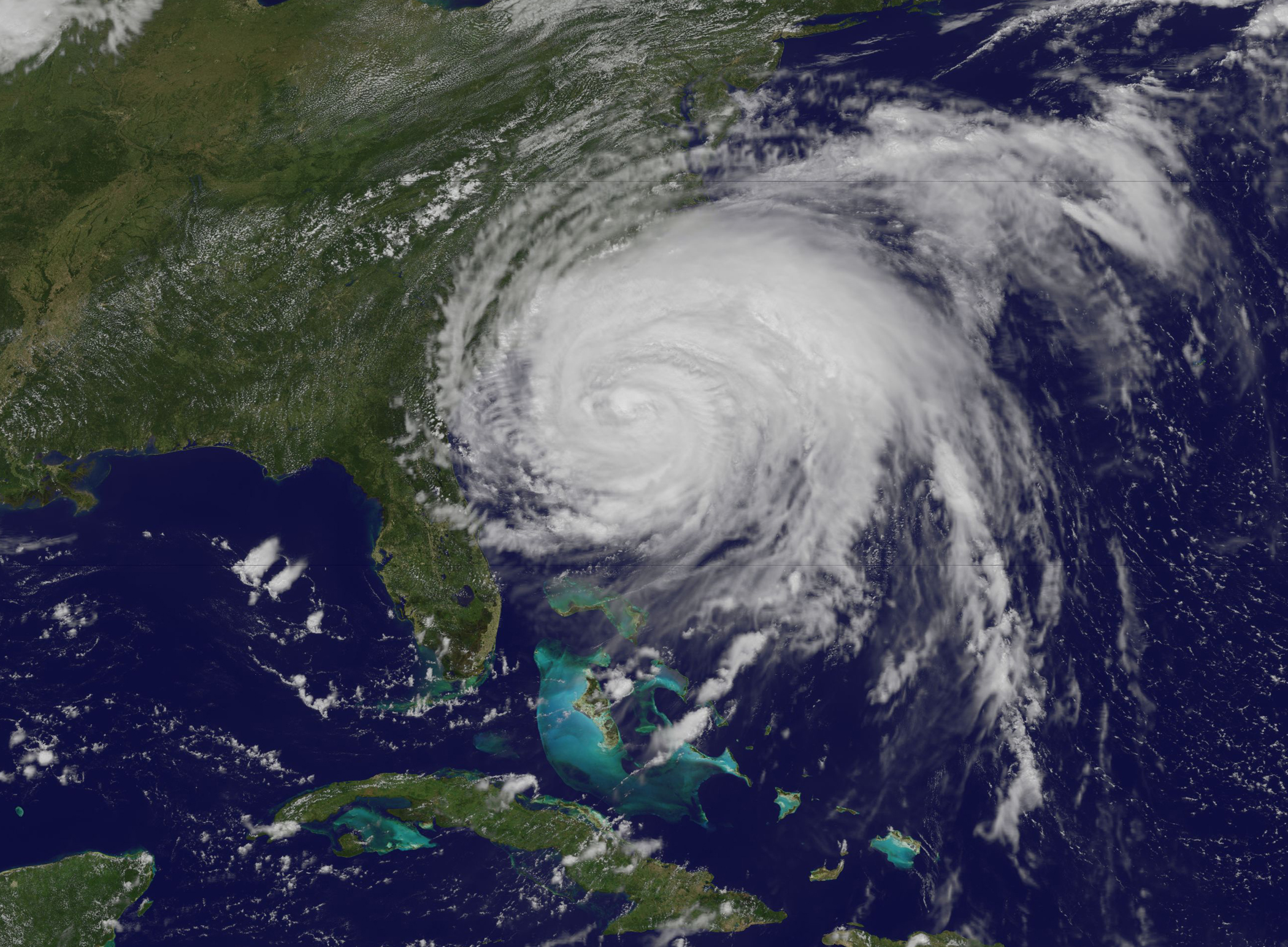
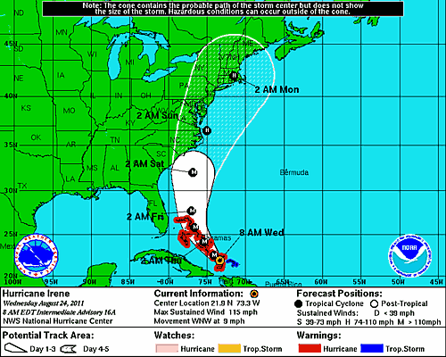
 The 2010 Atlantic hurricane season will provide a valuable research opportunity for the Coastal and Inland-Flooding Observation and Warning Project (CI-FLOW). The goal for the 2010 hurricane season is to demonstrate, in real time, that CI-FLOW can produce realistic simulations of total water level for an actual storm event.
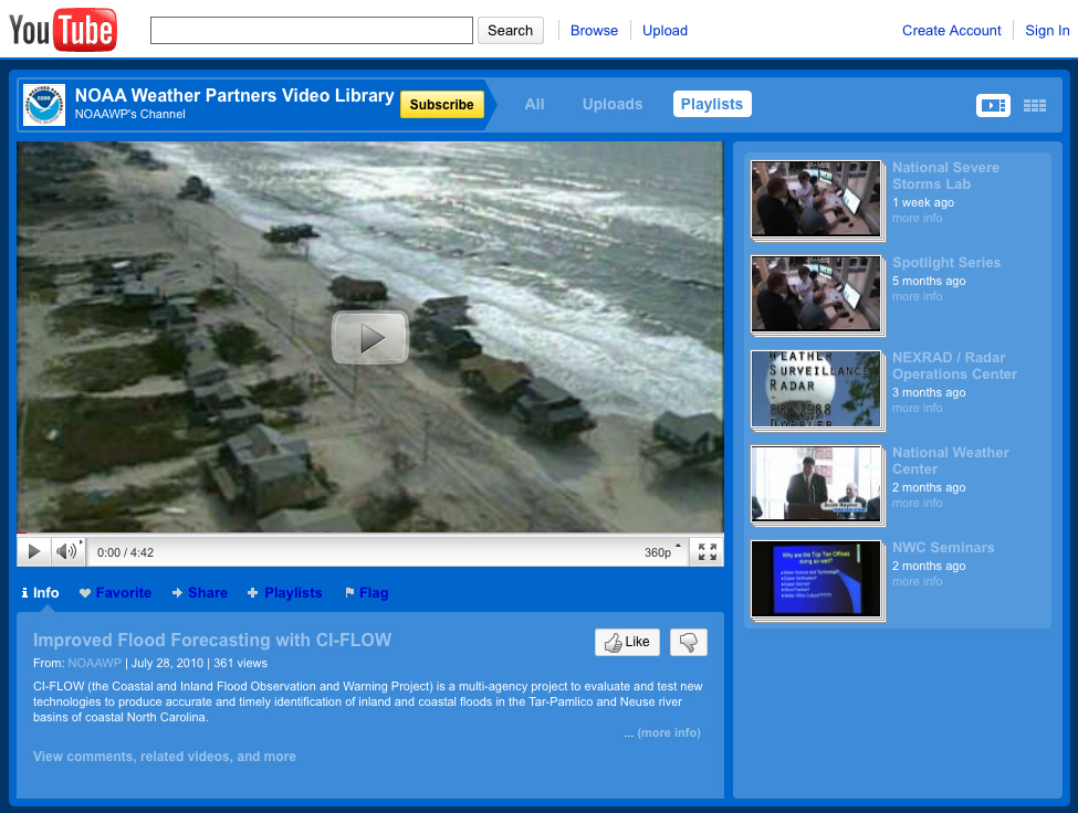
CI-FLOW is a system that combines weather, river, and ocean observations with data from numerical models to produce total water level simulations for the Tar-Pamlico and Neuse Rivers and the Pamlico Sound in North Carolina.
The newly developed CI-FLOW computing environment will collect hourly multi-sensor quantitative precipitation estimates from NSSL’s Q2 system and gridded quantitative precipitation forecast products from NOAA’s Hydrometeorological Prediction Center. The data will be fed into the CI-FLOW coupled model framework, which links the NWS HL-RDHM (Hydrologic Laboratory Research Distributed Hydrologic Model) to the ADvanced CIRCulation (ADCIRC) ocean model.
Currently, the CI-FLOW HL-RDHM routinely generates 10-day forecasts of river discharge for multiple points in the Tar-Pamlico and Neuse River basins. At four handoff points, the ADCIRC model will use the HL-RDHM discharge to begin its series of calculations to produce a 5-day forecast of total water level for the ADCIRC CI-FLOW domain.
This real-time demonstration will offer valuable insight on the accuracy and utility of total water level predictions for communities in the coastal plain of the Tar-Pamlico and Neuse Rivers and the Pamlico Sound.
NOAA’s National Severe Storms Laboratory (NSSL) leads the interdisciplinary multi-institutional team of CI-FLOW researchers.


