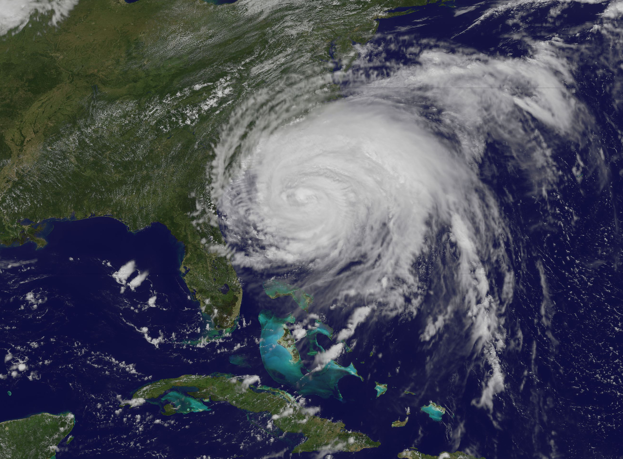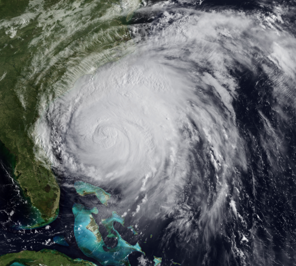
Researchers with the Coastal and Inland Flooding Observation and Warning (CI-FLOW) project are preparing for Hurricane Irene to test their total water level prediction system in North Carolina later this week. The CI-FLOW system captures the complex interaction between waves, tides, river flows and storm surge to produce total water level simulations that will improve forecasts for inland and coastal flooding events to help users react, respond, and recover.
The CI-FLOW system is currently focused on the Tar-Pamlico and Neuse river basins of North Carolina but the goal is to transition CI-FLOW research and technologies to other U.S. coastal watersheds.
The CI-FLOW computing environment routinely collects weather, river, tide and ocean observations to be used in an interactive exchange between atmospheric, river and ocean models.
The CI-FLOW project addresses a critical NOAA service gap: routine total water level predictions for tidally-influenced watersheds and has a vision to transition CI-FLOW research findings and technologies to other U.S. coastal watersheds. This real-time demonstration will offer valuable insight on the accuracy and utility of total water level predictions for communities in the coastal plain of the Tar-Pamlico and Neuse Rivers and the Pamlico Sound.
CI-FLOW’s unique interdisciplinary team is lead by the NOAA National Severe Storms Laboratory and includes North Carolina, South Carolina, & Texas Sea Grant Programs, National Sea Grant, Renaissance Computing Institute, University of North Carolina at Chapel Hill, University of Oklahoma, NWS Offices in Raleigh & Newport/Morehead City, NWS Southeast River Forecast Center, NOAA Coastal Services Center, NOAA in the Carolinas, Centers for Ocean Sciences Education Excellence SouthEast, NWS Office of Hydrologic Development, and National Ocean Service Coast Survey Development Laboratory.


