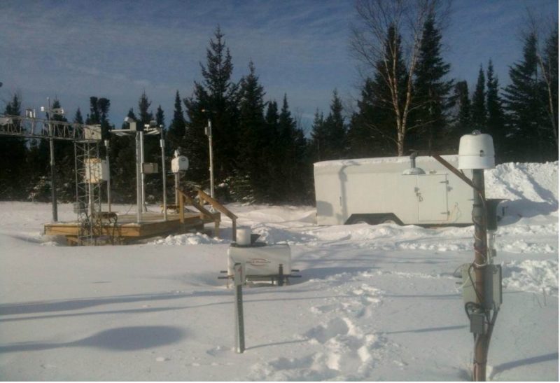
Bob Rabin participated in a field project in Goose Bay, Labrador in late February. The Satellite Applications for Arctic Weather and SAR (Search and Rescue) Operations (SAAWSO) was sponsored by Environment Canada and lead by Dr. Ismail Gultepe from the Cloud physics and Severe Weather Research Division. Bob was also participated remotely in the previous phase of the project (winter 2013), when data was collected near St Johns, Newfoundland.
A goal of the program is to validate satellite-based nowcasting products, including snow amount, wind intensity, cloud cover etc., over northern latitudes with potential applications to Search And Rescue (SAR) operations. Ground based in-situ sensors and remote sensing platforms were used to measure microphysical properties of precipitation, clouds and fog, radiation, temperature, moisture and wind profiles. Sensors included a Doppler Lidar, Ceilometer, Profiling Microwave Radiometer (PMWR), a Microwave Rain Radar (MRR), and a “Polarsonde” capable of measuring supercooled water in clouds (using polarized light). Infrared radiation observations from the geostationary GOES-east satellite provided estimates of cloud top temperature and height, phase (water, ice), hydrometer size, optical depth, and horizontal wind patterns at 15-minute intervals. A simple algorithm developed for identifying clouds capable of producing high snowfall rates and wind information from the satellite observations will be tested. The cloud top properties obtained from GOES-east (using algorthims developed by the GOES-R at NESDIS and the Cooperative Institute for Meteorological Satellite Studies (CIMSS), University of Wisconsin-Madison will be validated using the measurements from the ground-based in-situ and remote sensing platforms over a variety of situations. These products will be available with increased resolution and accuracy from the future GOES-R satellites.
