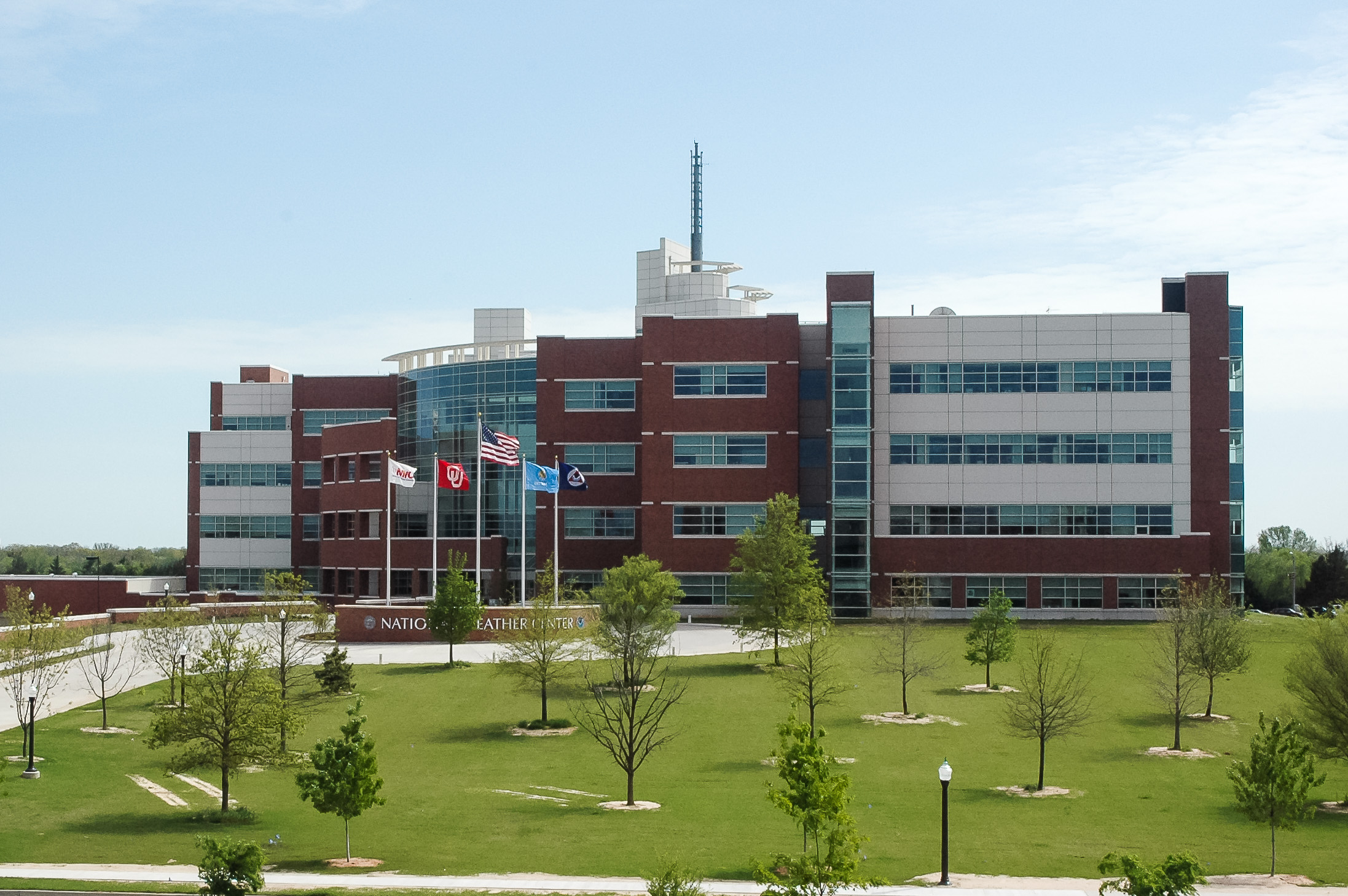
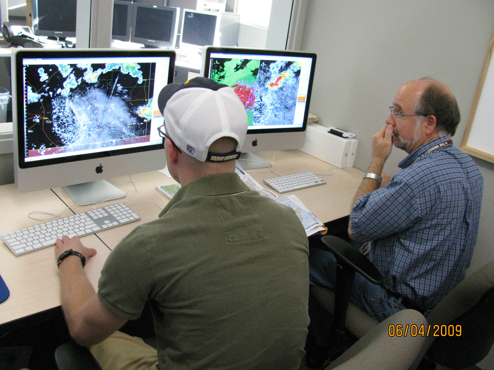
A new program to extend the use of geostationary satellite data in the operational environment has kicked off this spring in the NOAA Hazardous Weather Testbed at the National Weather Center in Norman, Okla. The GOES-R PG will involve the operational forecast community in the assessment and development of techniques for the next generation GOES satellites (GOES-R).
The “GOES-R Proving Ground” (PG) is sponsored by the NESDIS GOES-R program office and will take place over the next several years at the Storm Prediction Center in collaboration with NSSL and the Norman, Okla. National Weather Service Forecast Office.
During the first year, the GOES-R PG expects to lay foundational relationships and develop test methods that will lead to optimal testing of suites of products in following years. Techniques to be tested include:
- short-term forecasting of developing thunderstorms based on observations of cloud top cooling and development of ice in cloud tops (Cooperative Institute of Meteorological Satellite Studies (CIMSS) at the University of Wisconsin-Madison)
- simulated observations expected to be available from the optical lightning mapper on the GOES-R satellites
- short-term forecasts of hail probabilities based on cloud top information and environmental conditions (CIRA/NESDIS)
Most of these products will also be available for evaluation by the Experimental Warning Program and VORTEX2 forecasters this spring.
Background: The GOES-R is scheduled for launch in 2016. The availability of GOES-R products pre-launch will demonstrate a portion of the full observing capability of the GOES-R system.

