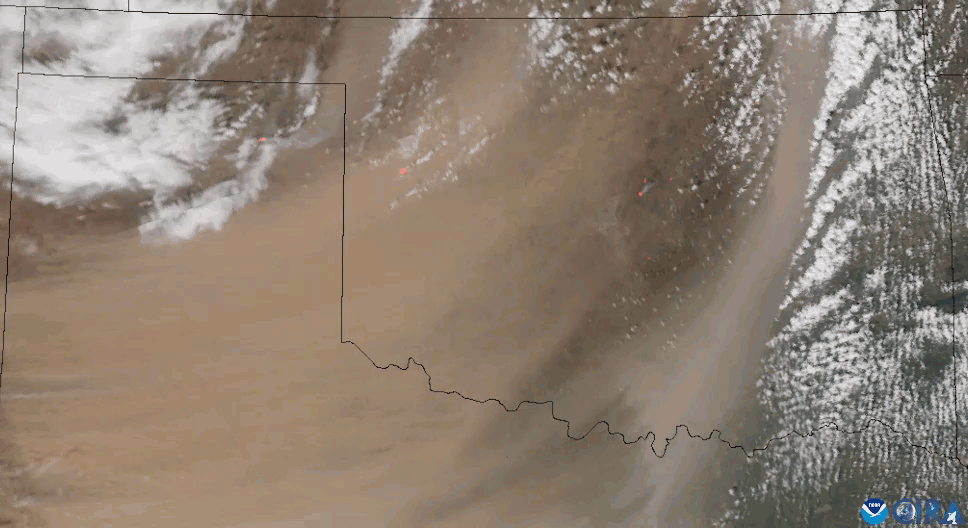
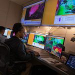
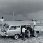
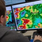
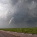
For more than 60 years, the NOAA National Severe Storms Laboratory (NSSL) has been at the forefront of developing weather radar. Currently NSSL is working on Phased Array Radar (PAR) as the next generation of…
For the first time, the NOAA National Severe Storms Laboratory’s Warn-on-Forecast System (WoFS) has successfully run short-term forecasts for three geographic areas at once—predicting severe weather, winter weather, and fire weather. The historic milestone demonstrates…
For more than 30 years, the nation’s weather forecasting has relied heavily on the NEXRAD radar network. This network has been the global gold standard in weather radar, however the system is reaching the end of its designed lifespan.
Phased array radar stands as a potential paradigm-shift solution for the future of weather radar in the United States.
The NOAA Hazardous Weather Testbed provides a conceptual framework and a physical space to foster collaboration between research and operations to test, perfect and evaluate emerging technologies and science for NWS operations.
A severe weather system rolled through central Oklahoma on April 19, 2023, producing supercell thunderstorms that yielded at least 18 tornadoes. From observations, to modeling to post-storm damage assessment, NSSL researchers gathered comprehensive data and put their cutting edge research to the test on storms in their own backyard.
Fifty years ago, on May 24, 1973, a violent F-4 tornado tore through the central Oklahoma town of Union City, killing two people and injuring at least four more. While the human impact of the storm was devastating, the Union City tornado was also historic as it marked the first time researchers were able to use radar to observe the entire lifecycle of a tornado.
A new book highlights the biggest technological upgrade to Doppler radars since first installed – dual-polarization technology.
Radars are a vital tool for weather forecasters because they provide a detailed picture of storms as they’re happening. A new radar technique is helping forecasters provide more accurate information about rain and snow storms.
Learn about NSSL’s latest radar with this Bite Sized Science video!
NOAA National Severe Storms Laboratory Researcher Sean Waugh will collect weather data in the path of Hurricane Harvey Friday to record how the landfalling hurricane changes as it develops. The first major hurricane forecast to…