Since its inception in 1964, the NOAA National Severe Storms Laboratory (NSSL) has been the national leader for innovating and developing the tools, models and technology the NOAA National Weather Service (NWS) uses to make forecasts and issue warnings to keep the public safe from severe weather.
From Doppler radar to advanced computer forecast models, NSSL’s work has revolutionized weather forecasting and is an integral part of the day to day operations of the NWS as well as emergency managers, broadcast meteorologists and the general public.
But as with any new technology, weather tools must be tested, improved and perfected before they are fully integrated into NWS operations. Enter the NOAA Hazardous Weather Testbed (HWT).
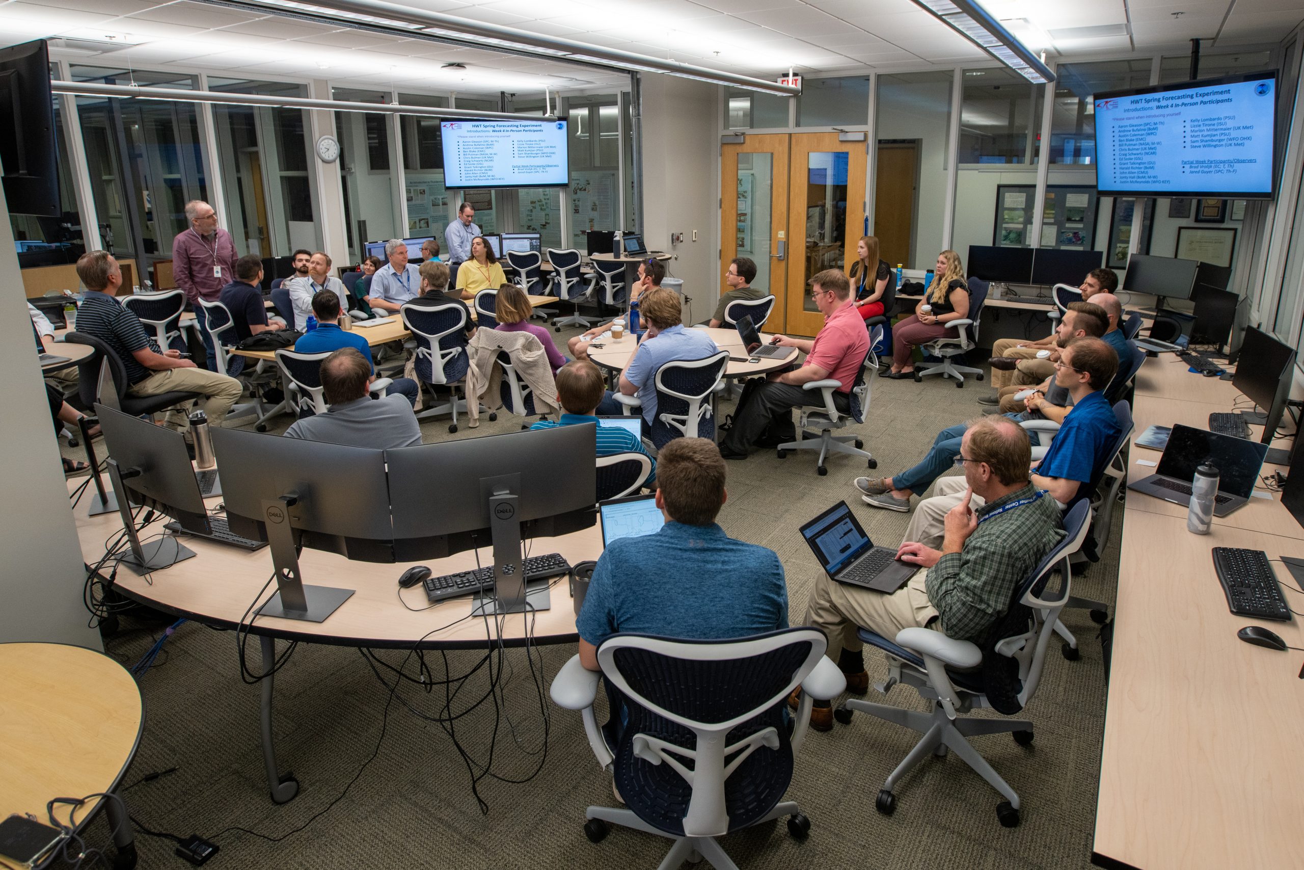
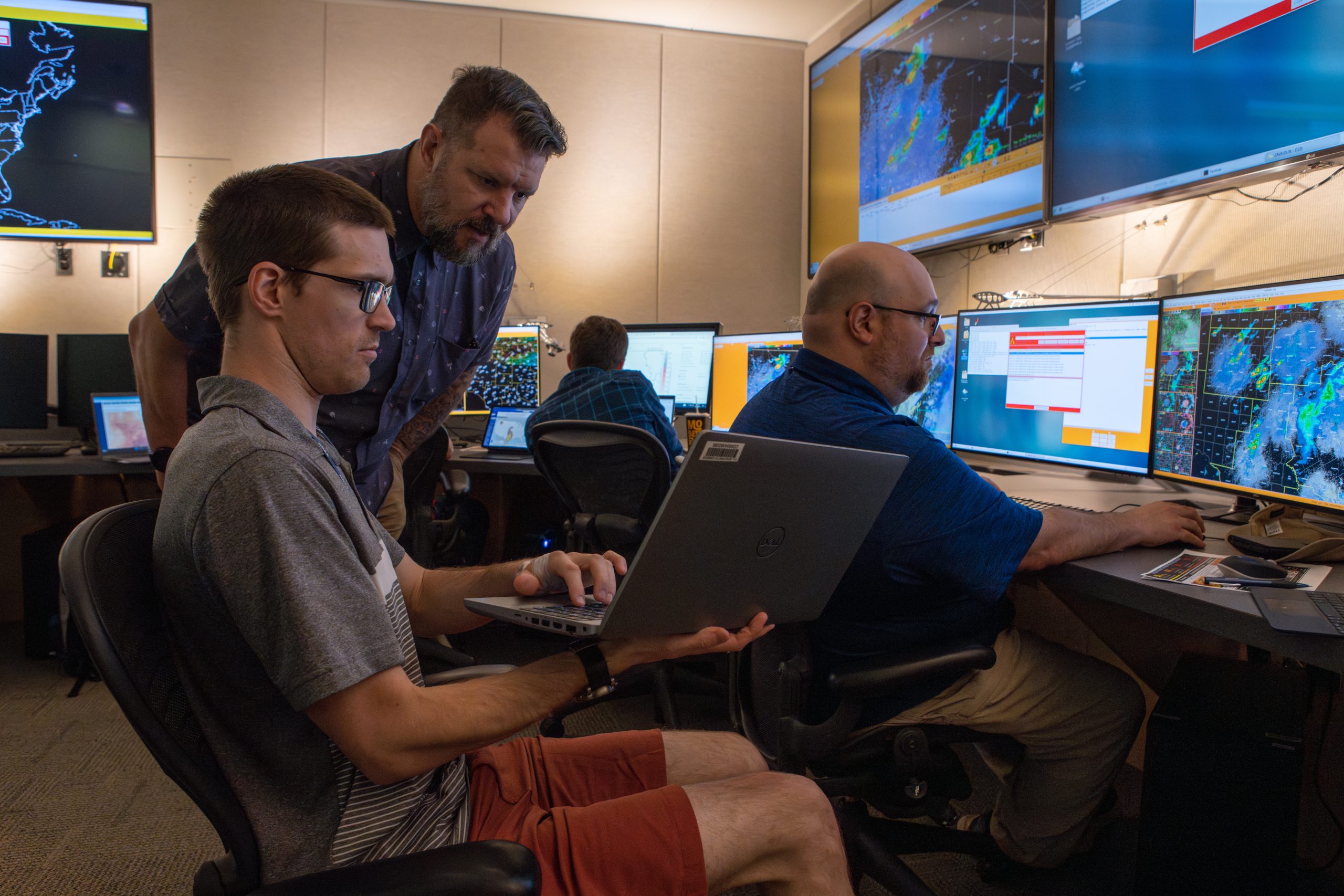
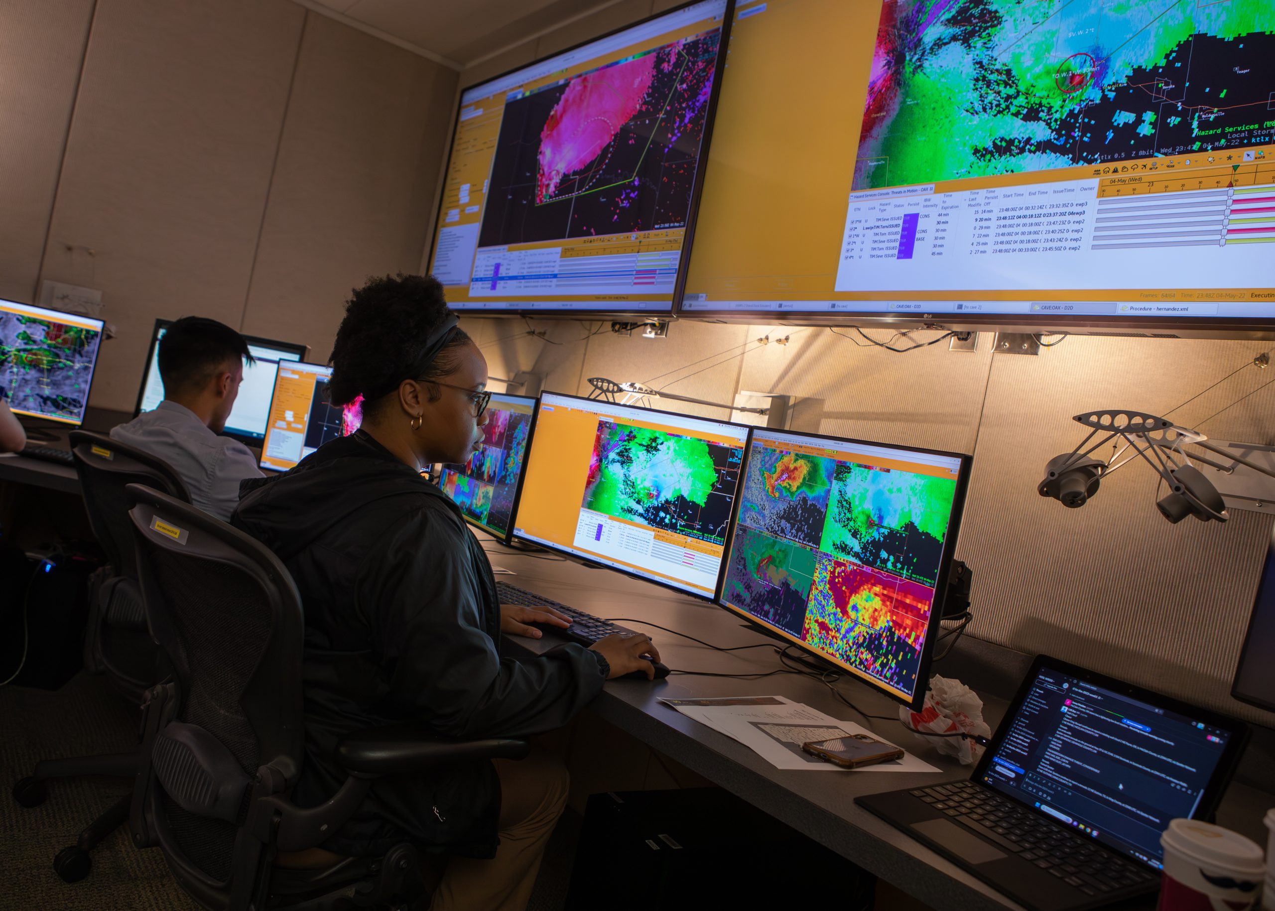
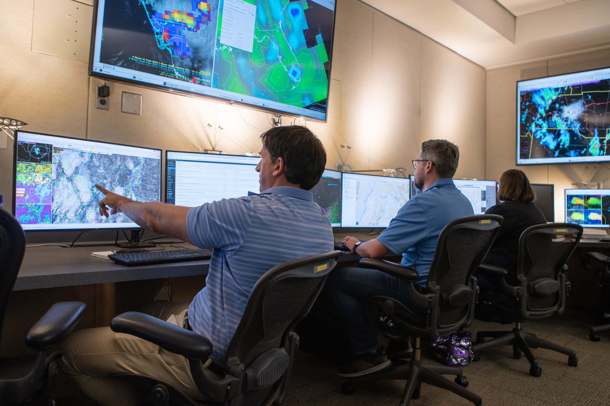
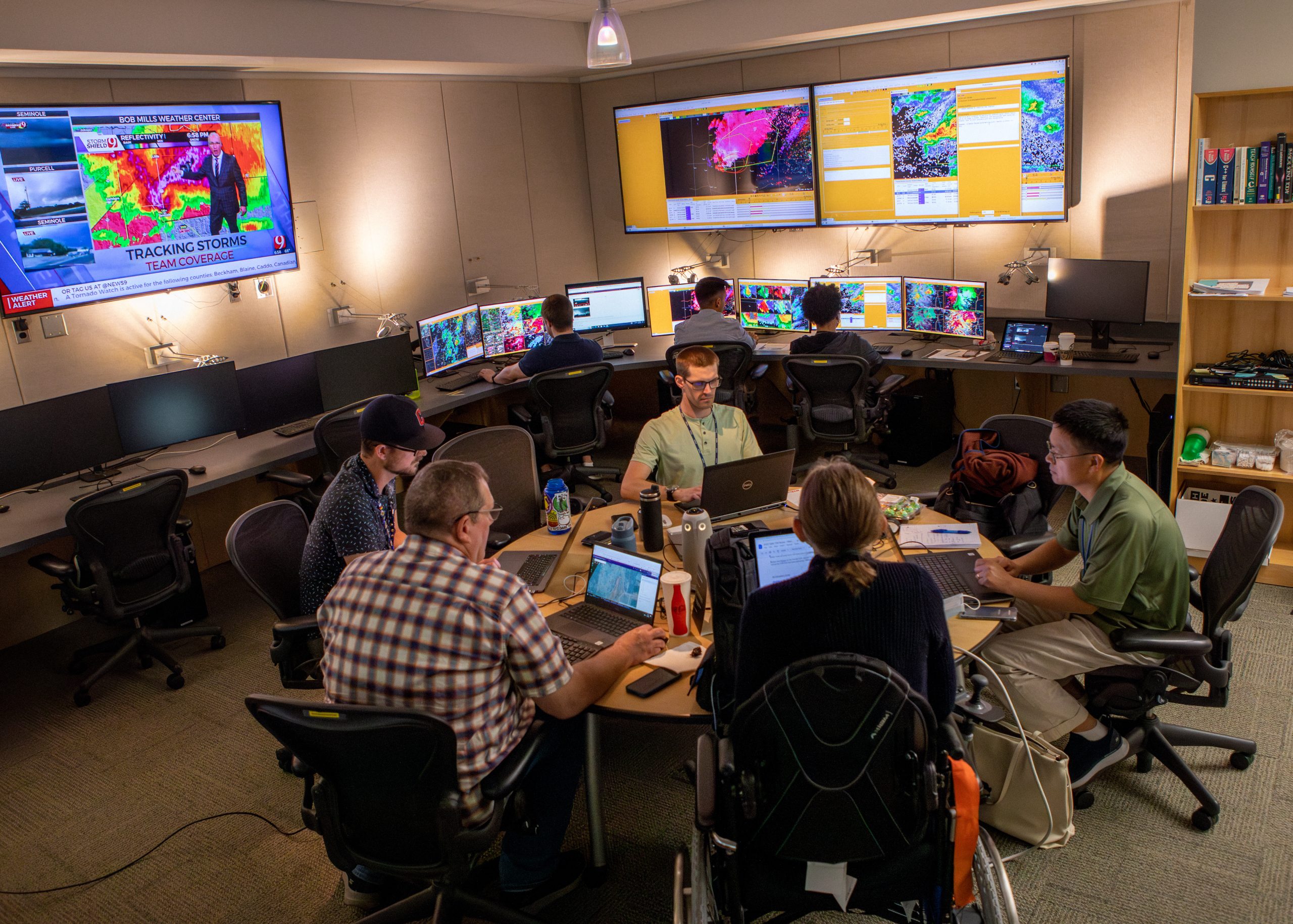
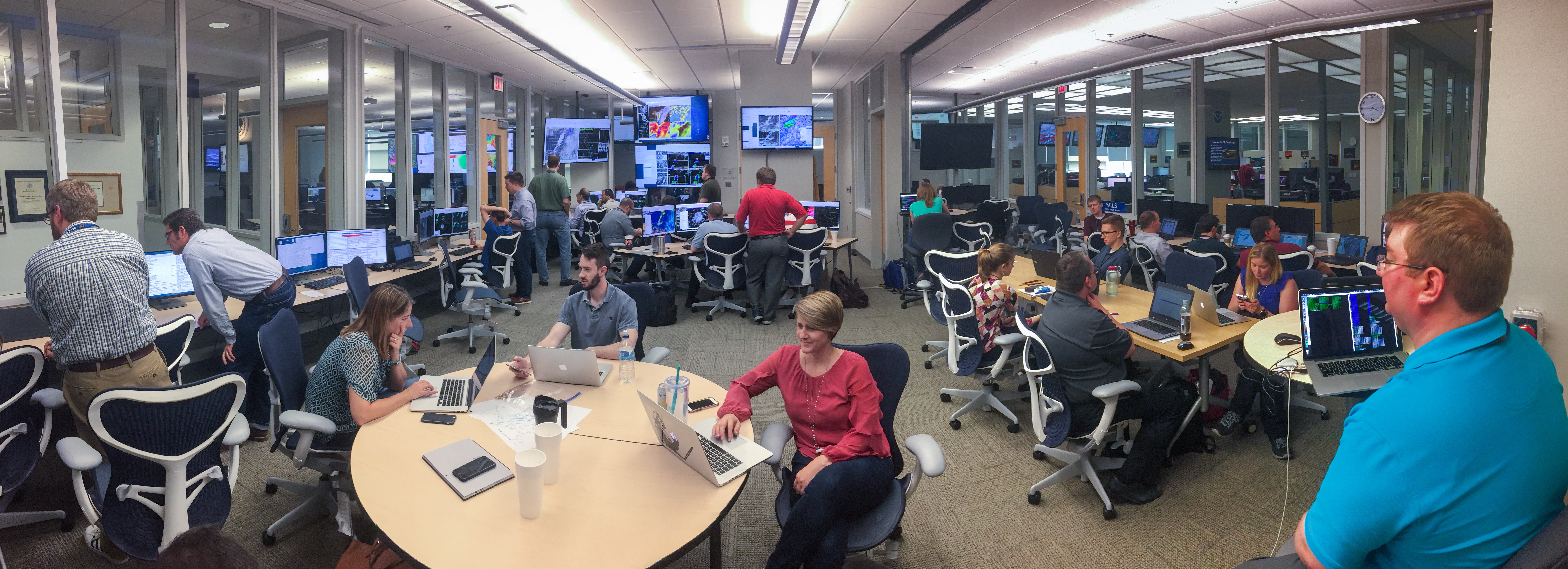
Located inside the National Weather Center in Norman, Okla., — also home to NSSL, the NOAA Storm Predictions Center (SPC) and the NWS Norman Forecast Office — the HWT is a dynamic and collaborative space that allows researchers to work directly with forecasters and other crucial operations professionals, putting their work to the test against real-world scenarios.
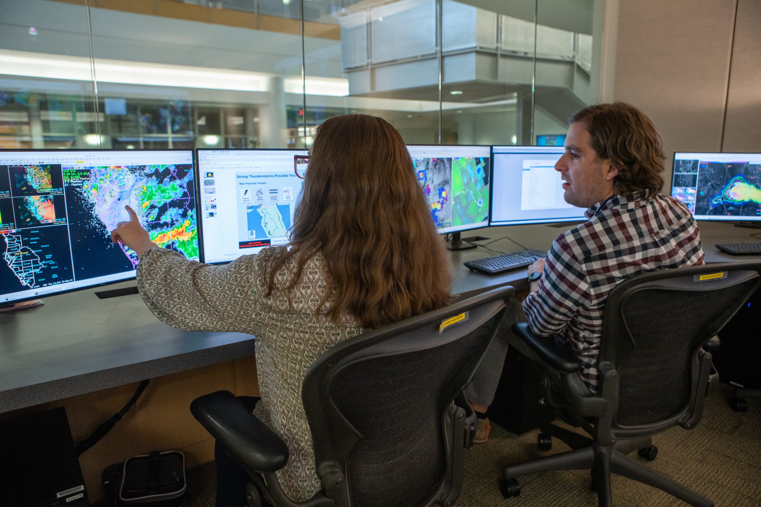
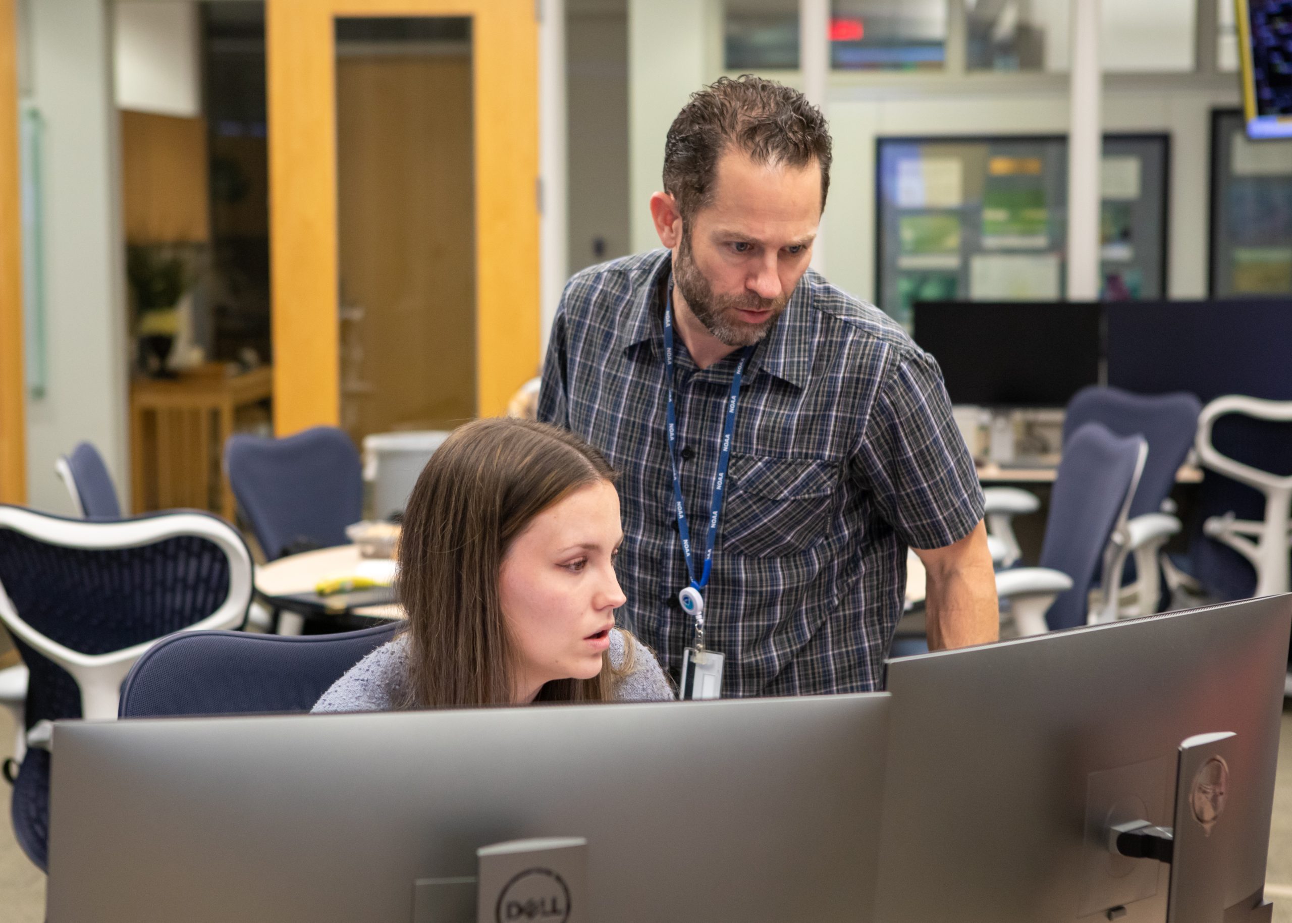
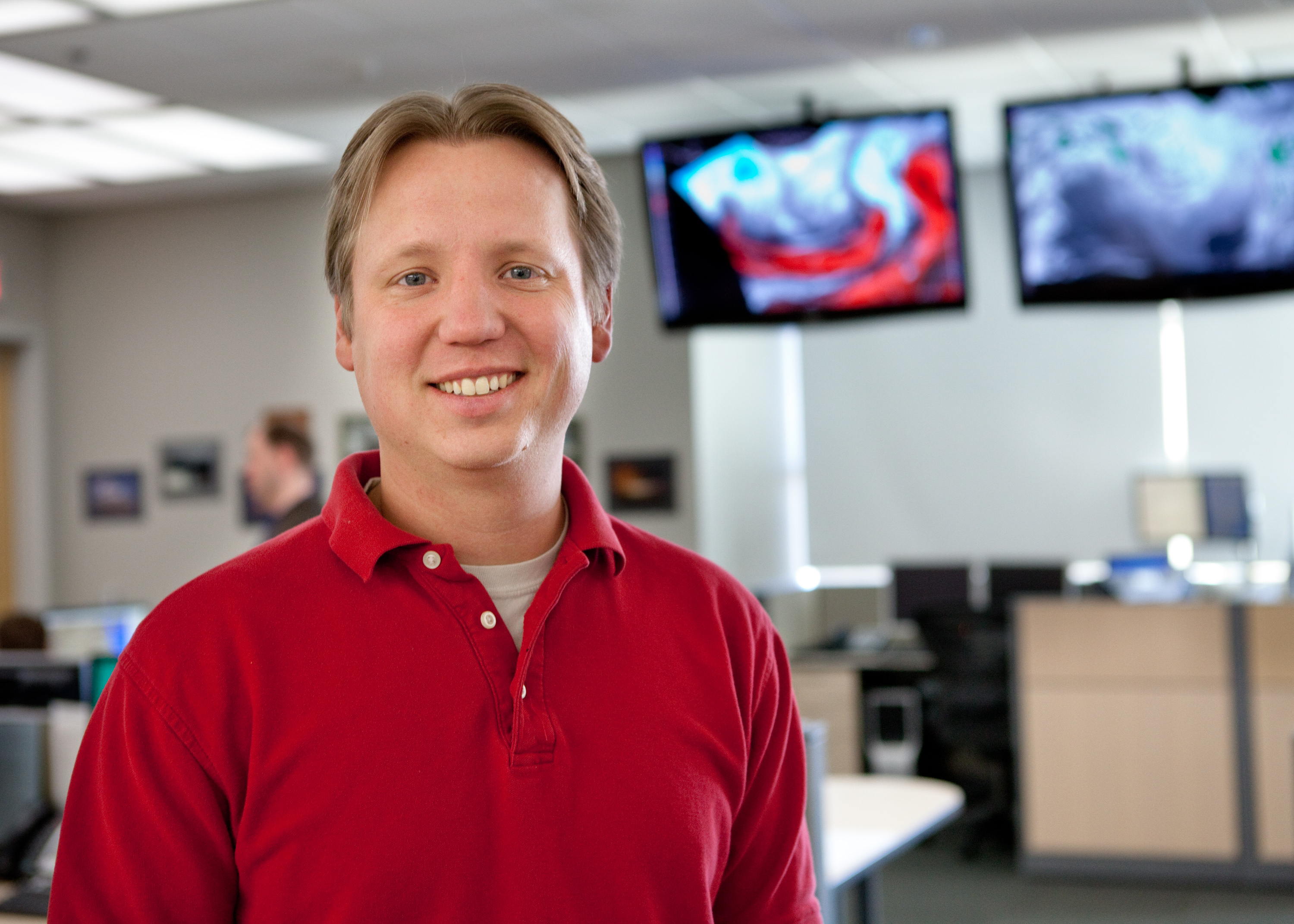
“Like video games and computer software go through beta testing, new tools and technologies are tested and improved here in the Hazardous Weather Testbed before forecasters are able to use them across the country,” said Kodi Berry, FACETs Program Lead for NSSL.”
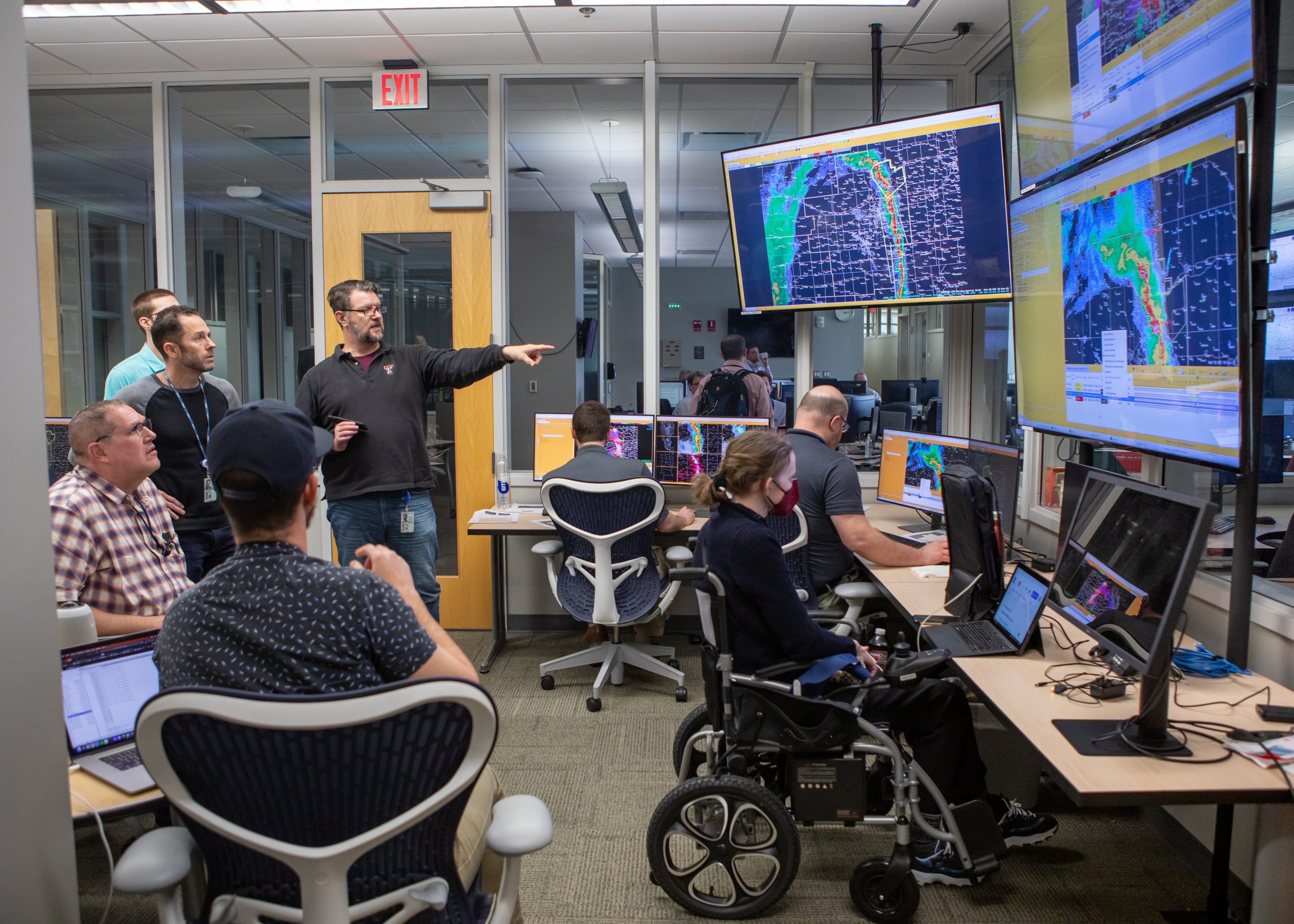
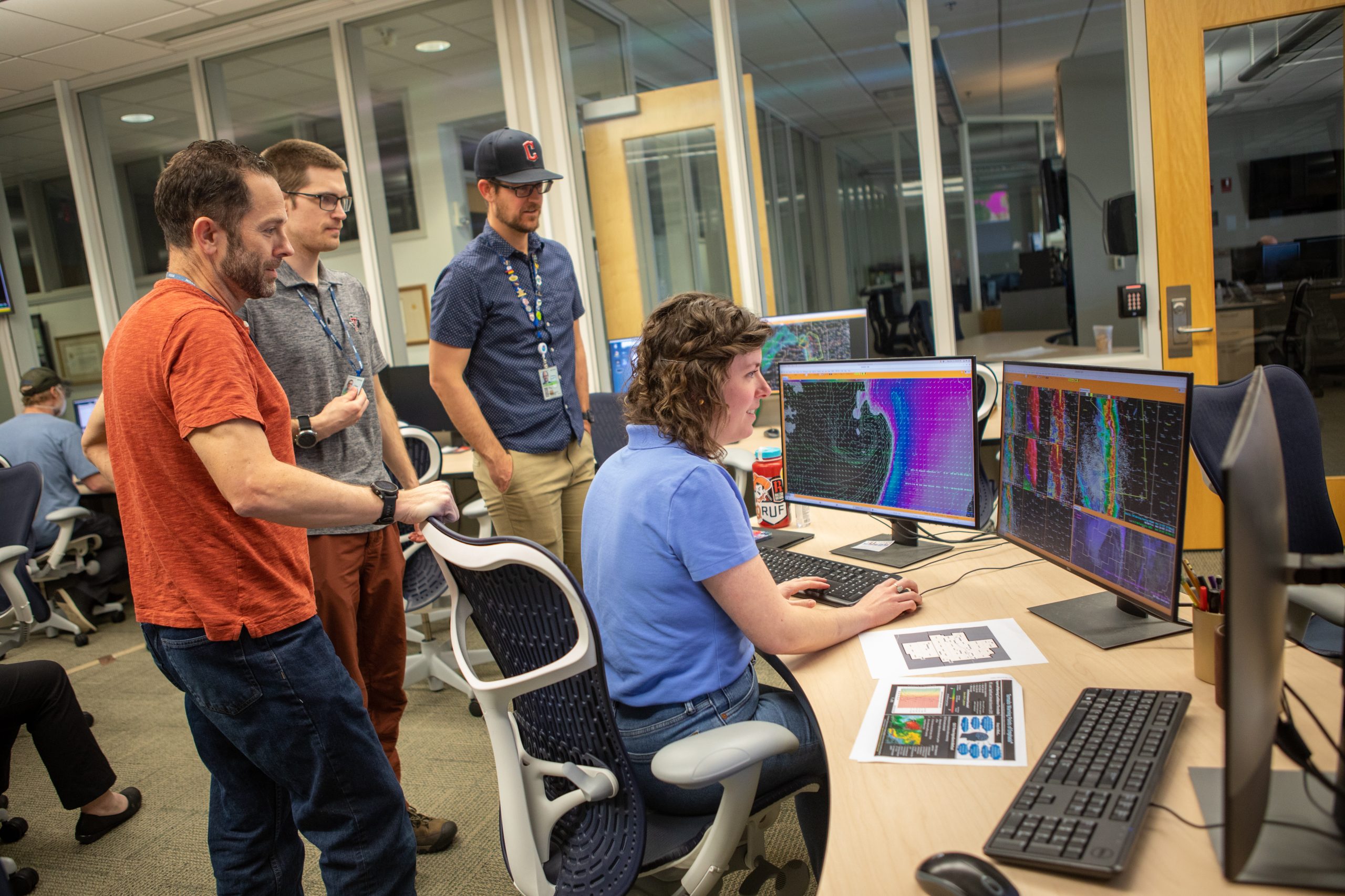
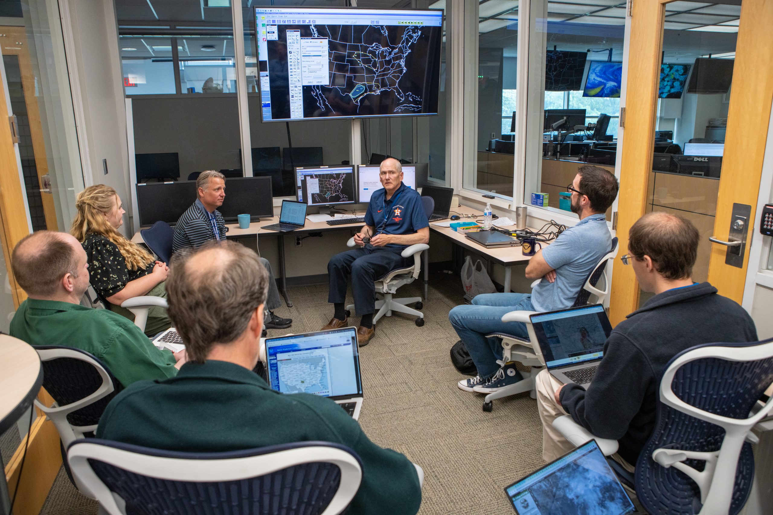
“By bringing together researchers, developers, and forecasters, the HWT shortens the time it takes to transition tools from research into operations,” said Patrick Marsh, Chief of the NOAA Storm Prediction Center’s Science Support Branch. “Forecasters gain experience with next-generational tools and provide invaluable feedback to researchers and developers on the challenges forecasters face and how to tailor the next generation tools to meet these needs.”
That ability to work directly with the professionals who will use these next-generation technologies creates a framework that both improves the tools themselves, and inspires new avenues for research.
WHAT IS THE NOAA HAZARDOUS WEATHER TESTBED?
- NOAA’s Hazardous Weather Testbed (HWT) develops, tests and evaluates emerging severe weather forecast and warning technologies for the entire United States.
- The HWT is a joint facility managed by NSSL, the NOAA Storm Prediction Center (SPC), and the NOAA National Weather Service Norman Weather Forecast Office located at the National Weather Center in Norman, Okla.

innovation becomes reality
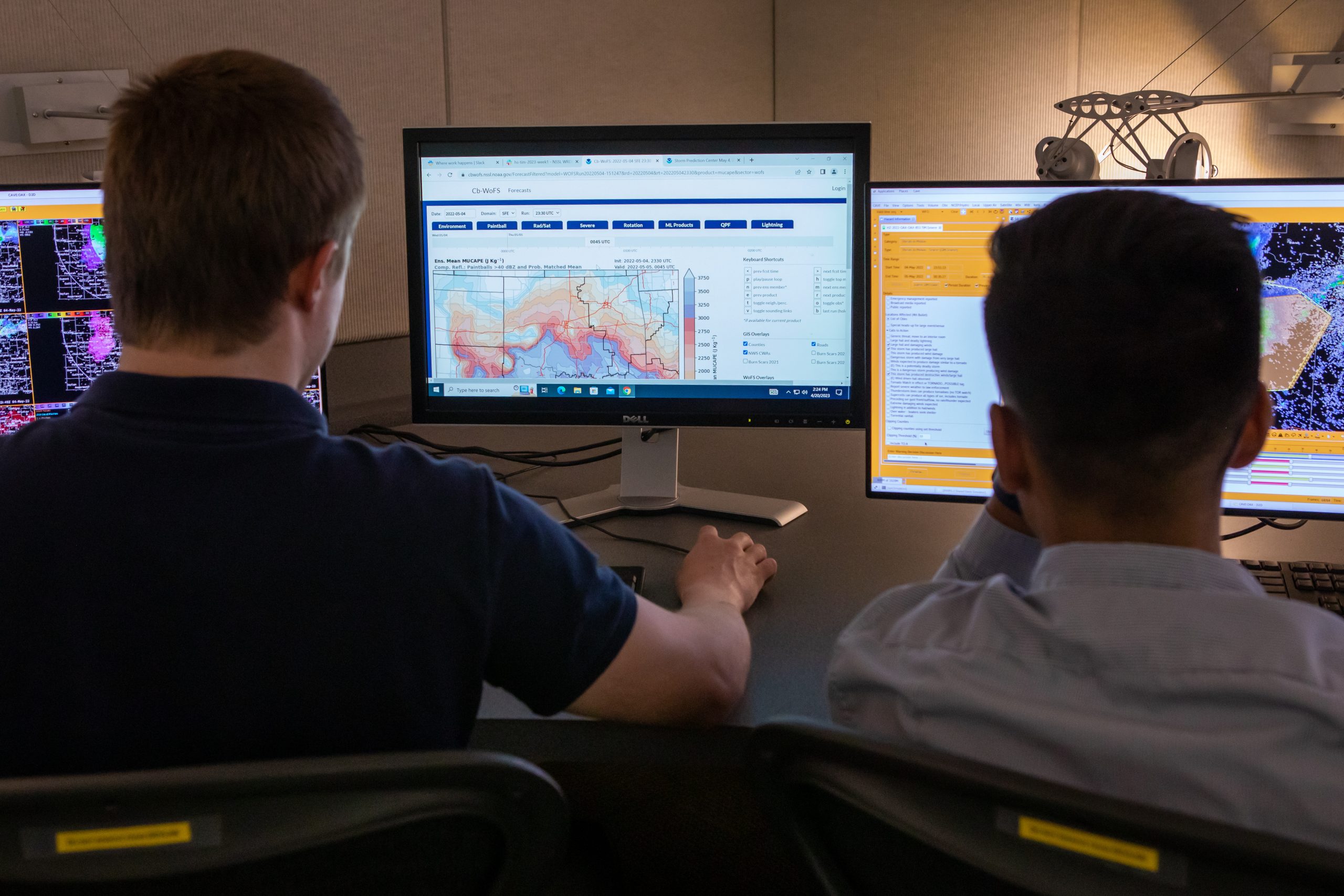
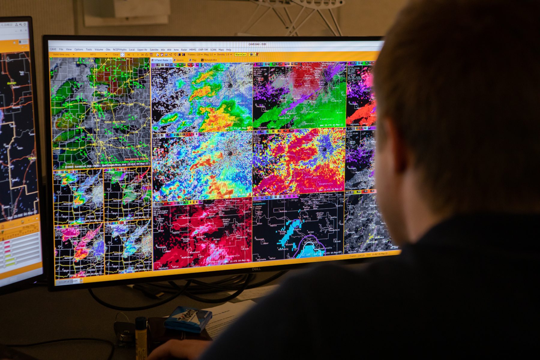
The Hazardous Weather Testbed is an experimental testing space where researchers can refine new methodologies, algorithms, and technologies. Activity inside the HWT ramps up every spring with the onset of severe weather season as researchers put their newest models and tools to the test.
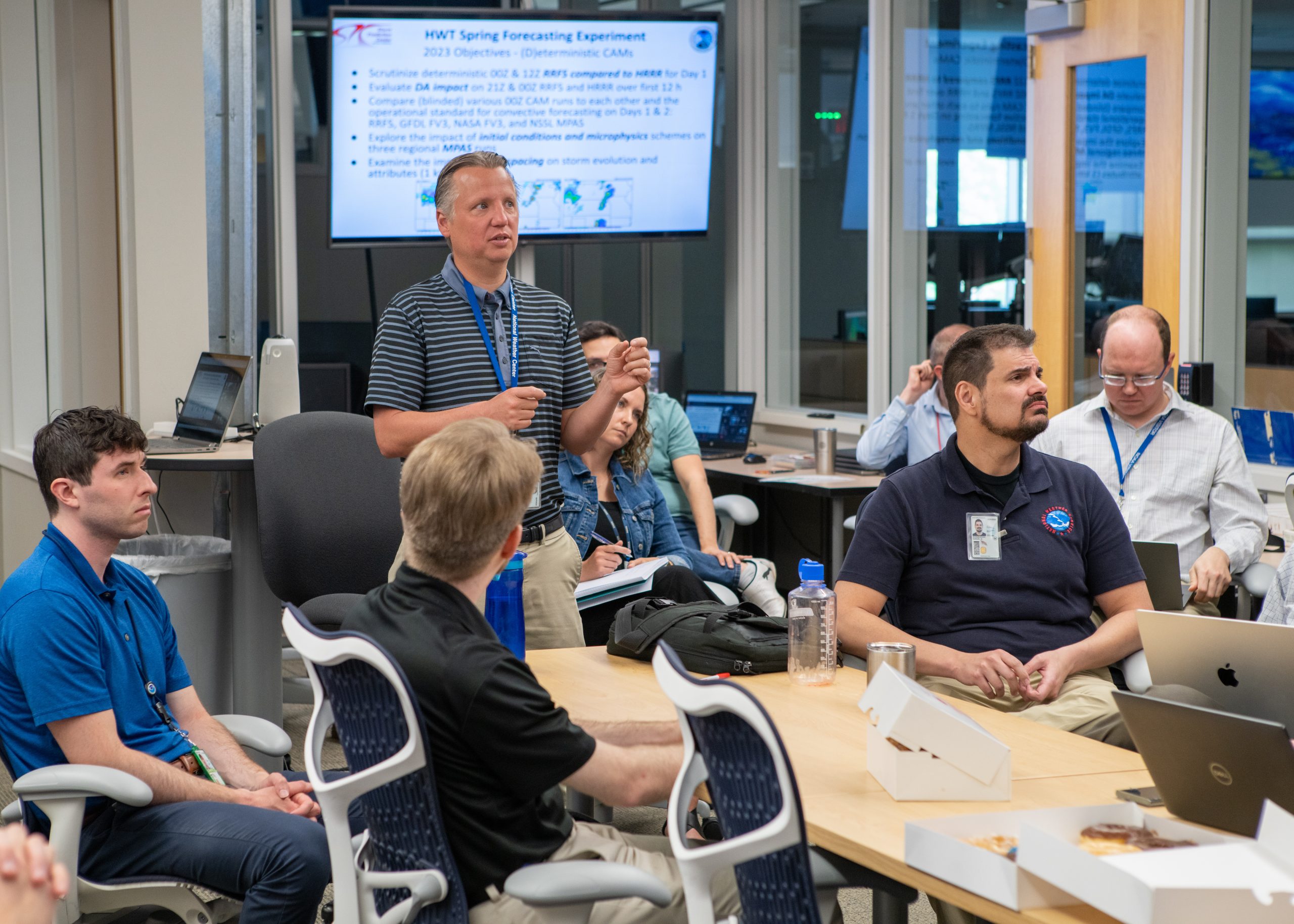
Throughout the year, the HWT runs dozens of real-time, forecasting, and warning experiments to evaluate the operational utility of new science, technology, and products. Forecasters have direct access to the latest research developments, and scientists gain the knowledge to formulate research strategies with practical benefits. This collaborative approach ensures an effective, two-way path between research and operations, which ultimately improves NWS forecasts and warnings.
“Having our researchers shoulder-to-shoulder with the forecasters who actually use these tools every day to protect the public is just invaluable,” said Berry. “They can tell our scientists exactly what they need to do their job better, what works and what doesn’t, and ultimately we end up the best possible version of the science.”

WHY HWT?
- The HWT provides a conceptual framework and a physical space to foster collaboration between research and operations to test, perfect and evaluate emerging technologies and science for NWS operations.
- This space is a springboard for the technologies of tomorrow.
HWT ORIGINS
Collaboration between NSSL, the NWS Norman Forecast Office, and the Radar Operations Center dates back to the 1980s. The partnership played a central role in data collection and forecasting for multiple field programs over the decades. That well-established culture of cooperation laid the groundwork for the future successes of the HWT.
After the SPC moved its operations to the NSSL facility in Norman in 1997, the mutual interests of SPC forecasters, NSSL researchers, and collocated joint research partners from the Cooperative Institute for Severe and High-Impact Weather Research and Operations (CIWRO) inspired the formation of the NOAA Hazardous Weather Testbed.
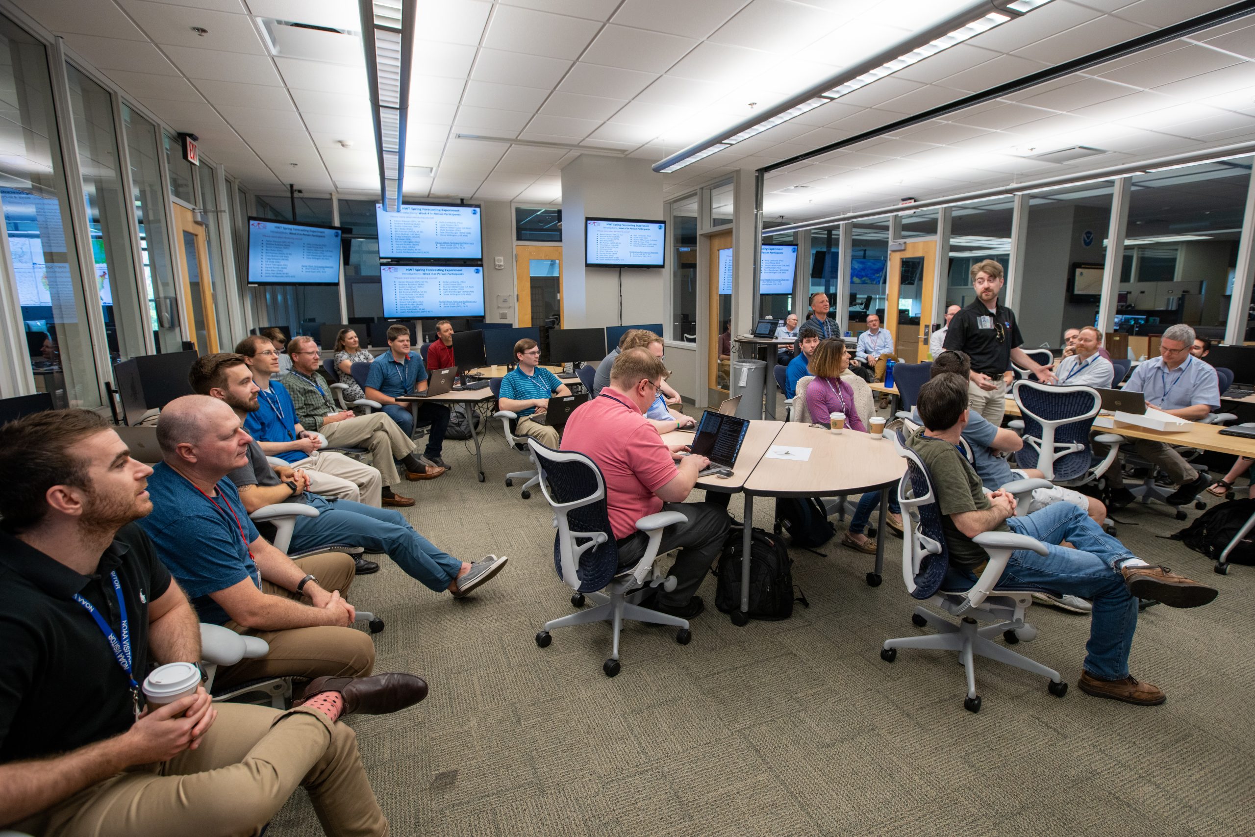
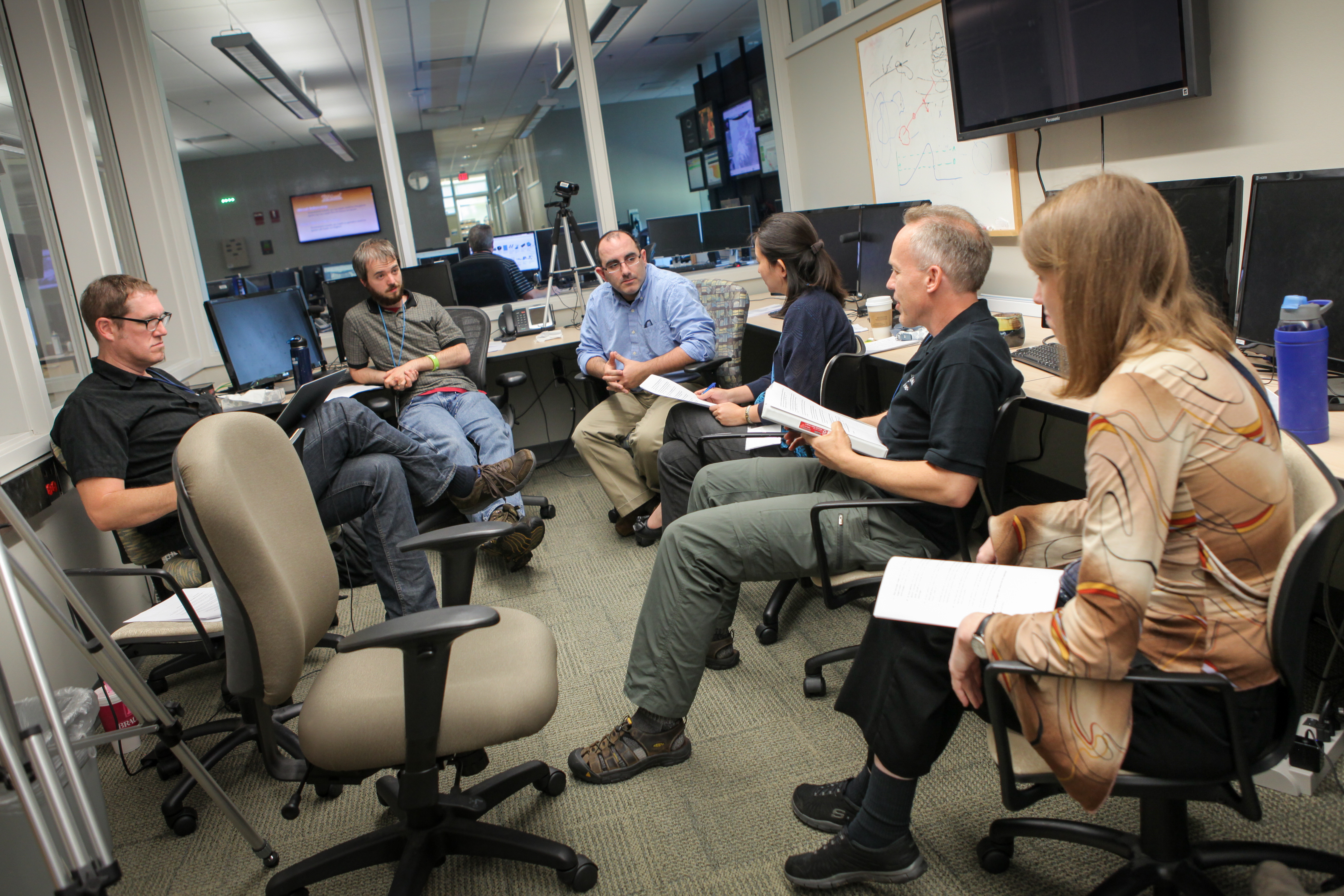
Through the years, HWT activities have ranged from daily map discussions of imminent severe weather to large-scale experiments involving dozens of researchers and forecasters from across the globe.
“What started as a sole focus on the NWS forecaster as the end user of the HWT has evolved to include emergency managers, broadcast meteorologists, and even members of the public in the co-production of emerging tools and products,” said Berry.
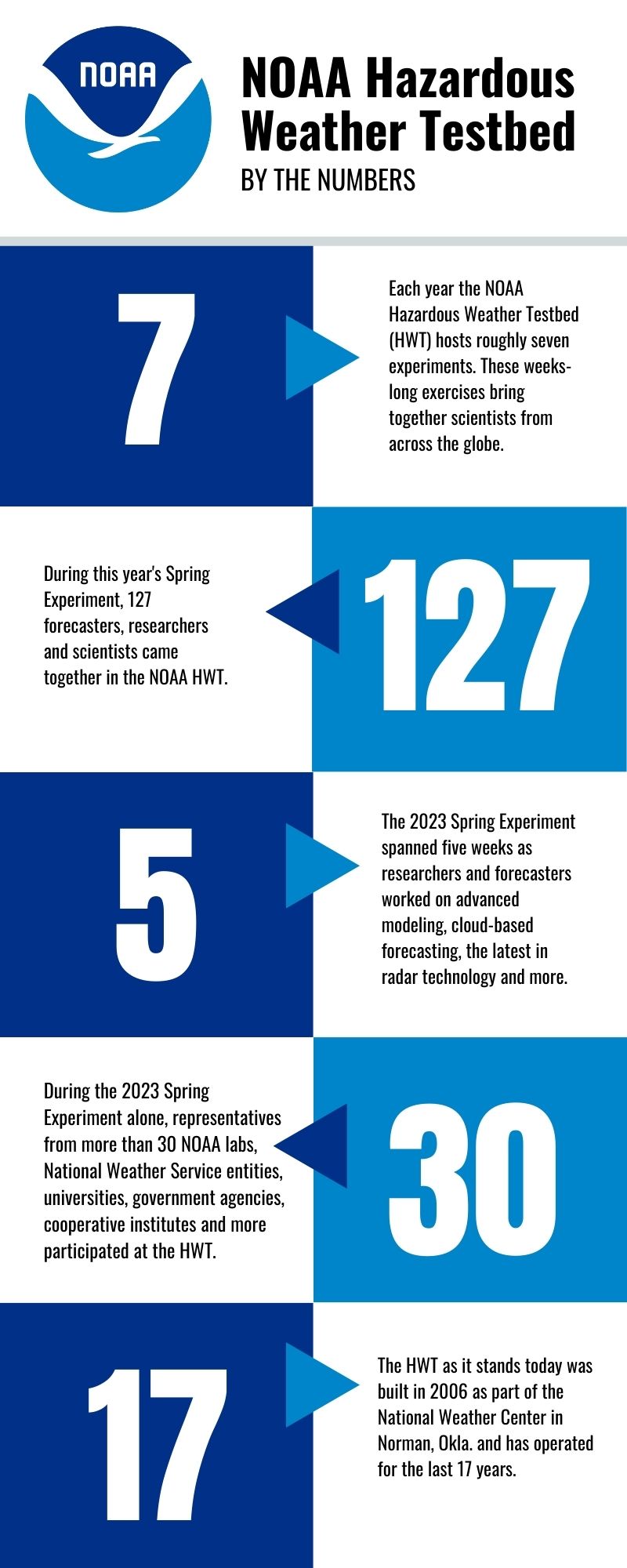
Today, the HWT hosts roughly seven experiments each year, with more than 100 meteorologists, researchers and other professionals passing through its doors.
THE IMPACT
- Part of NOAA’s mission is to understand and predict changes in climate, weather, ocean and coasts and to share that knowledge and information with the public.
- NWS strategic goals aim to reduce the loss of life, injury, and damage to the U.S. economy.
- The NOAA HWT supports both by increasing the development, application, and transition of advanced science and technology to operations and services, ultimately developing ways to increase the lead-time and accuracy of weather warnings and forecasts.
Looking ahead
As our understanding of severe weather patterns and tornado formation continues to evolve, so too must our capabilities in forecasting and warnings. The Hazardous Weather Testbed plays a pivotal role in this ongoing endeavor by bridging the gap between scientific advancement and operational meteorology.
Through its collaborative spirit and culture of two-way communication, the HWT has become an indispensable resource in preparing the tools and technologies of tomorrow that will improve forecasting and warning capabilities, keeping people safe.
