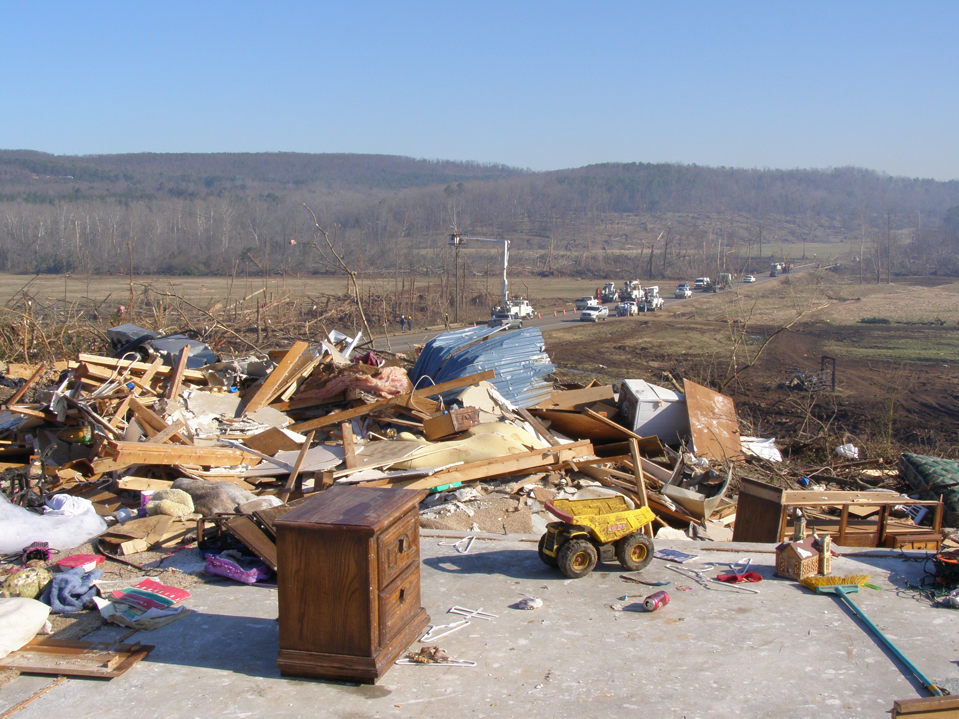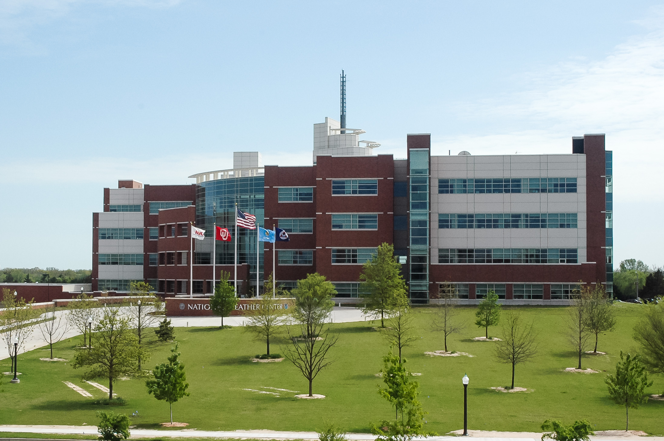
In this record-breaking spring tornado season, emergency responders are saving precious hours when they count the most – in the immediate aftermath of a devastating storm. A tool developed by the NOAA National Severe Stor m Lab (NSSL) has cut disaster assessment time dramatically for the organizations, state, and federal agencies that have adopted it.
The American Red Cross of Central Oklahoma, for example, is using the NSSL Warning Decision Support System—Integrated Information (WDSS-II) to shorten the time it takes to deliver assistance to the neighborhoods ripped apart by tornadoes. Real-time information from the system can be plotted on maps, for example, speeding up the response process.
“This technology cut our disaster assessment time down from 72 to 24 hours,” said Steven Klapp, a volunteer and disaster assessment team leader for the American Red Cross of Central Oklahoma. Klapp has trained more than 250 people in Oklahoma and Texas to use the technology to support disaster recovery operations.
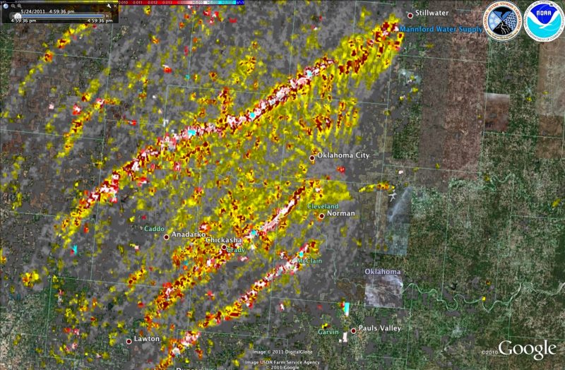
American Red Cross Disaster Assessment teams were out in full-force the morning following the Tuesday, May 24, tornado outbreak in central Oklahoma. Their responders used the NSSL software tool to direct them where to go.
The tool helps the Red Cross to pinpoint when and where damage caused by severe weather most likely occurred. The system uses the Internet to draw data from a nationwide network of weather radars, satellites, surface observations, and lightning detectors.
The system receives data in real-time, then processes, analyzes, and displays the data in a way that is useful to people who need to diagnose severe weather quickly. The American Red Cross of Central Oklahoma uses the On Demand feature of this NSSL system to display storm information on a Web page.
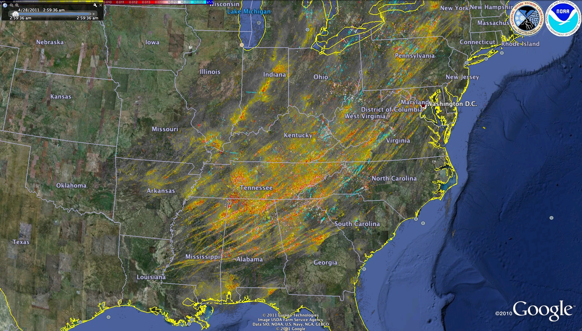
The NSSL tool records the tracks of rotation in a storm and marks where hail fell using the storm data it gathers from radars, satellites, and other observation systems. The rotation track or hail swath image is produced in a format that can be opened in Google Earth. The image is automatically overlaid on Google Earth maps that can be viewed at any scale down to high-resolution street maps.
Disaster teams zoom in on the areas most likely damaged during a storm to assess which neighborhoods need assistance first and what roads they should take to get there.
“They no longer have to put boots on the ground to visually assess the situation before planning how they will deploy response teams,” said Kurt Hondl, NSSL research meteorologist. “It makes the coordination and planning of the American Red Cross’s response so much more efficient.”
“This kind of technology has been nothing short of a blessing for the American Red Cross and those we serve,” said Rusty Surette, director of communications for the American Red Cross of Central Oklahoma. “Our organization embraces anything that helps speed up our emergency services and deliveries to those who’ve been impacted by a disaster, and the WDSS-II has proven to be an effective tool in doing just that.”
“This is just another example of how NOAA’s emerging science and technology is being used to improve emergency services to our communities,” said Doug Forsyth, chief of NSSL’s Radar Research and Development Division.
Among other users of the NSSL On Demand software tool are the Virginia Department of Emergency Management, the Federal Emergency Management Agency, and the Department of Homeland Security. FEMA used it to plan aerial damage survey flyovers of the Arkansas storms in February 2008.
FEMA also used the rotation tracks to determine where FEMA-funded safe rooms might have been damaged by storms. FEMA responders can cross-reference the track and safe room locations easily, instead of manually sifting and sorting the information. This information lets them plan trips to storm-damage areas much faster than the old way, which was to wait for the release of official storm track data.
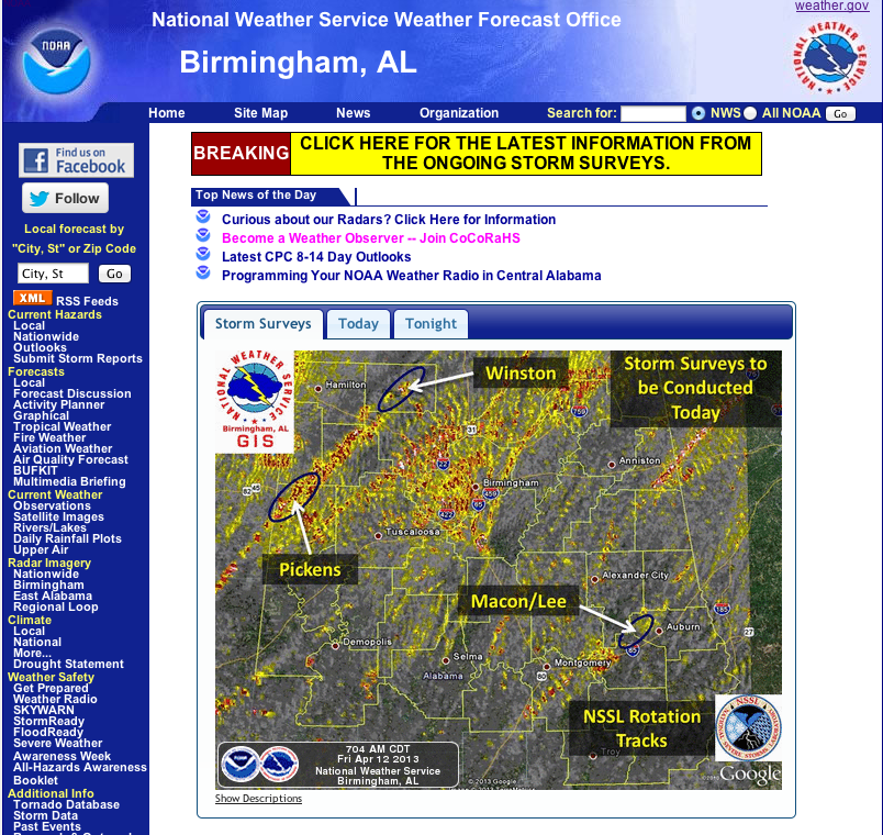
In addition, many National Weather Service Forecast Offices use the NSSL system for warning verification or damage surveys.
The WDSS-II On Demand software is available to all American Red Cross offices and other disaster assessment organizations. Go to http://ondemand.nssl.noaa.gov to learn more.
