Severe weather in Oklahoma this spring has offered opportunities for collecting data.
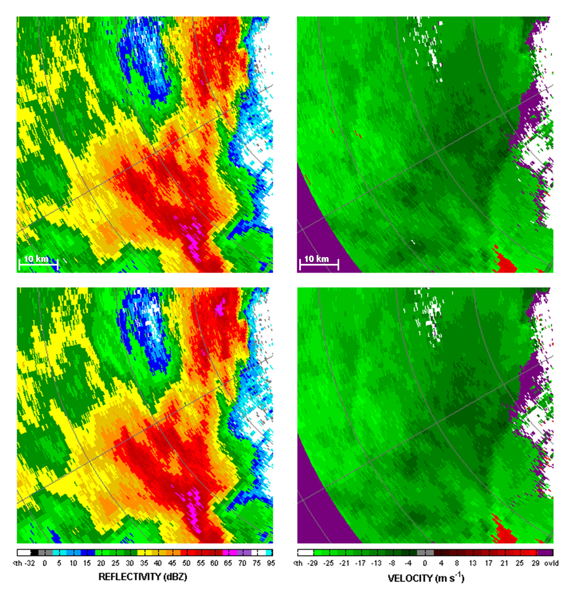
On May 24, 2011 NSSL’s dual-polarized X-Band mobile radar captured the early and mature stages of a tornado in northwest Oklahoma. The data will be compared with another X-Band dual-polarized mobile radar for accuracy. This storm produced an EF-3 tornado.
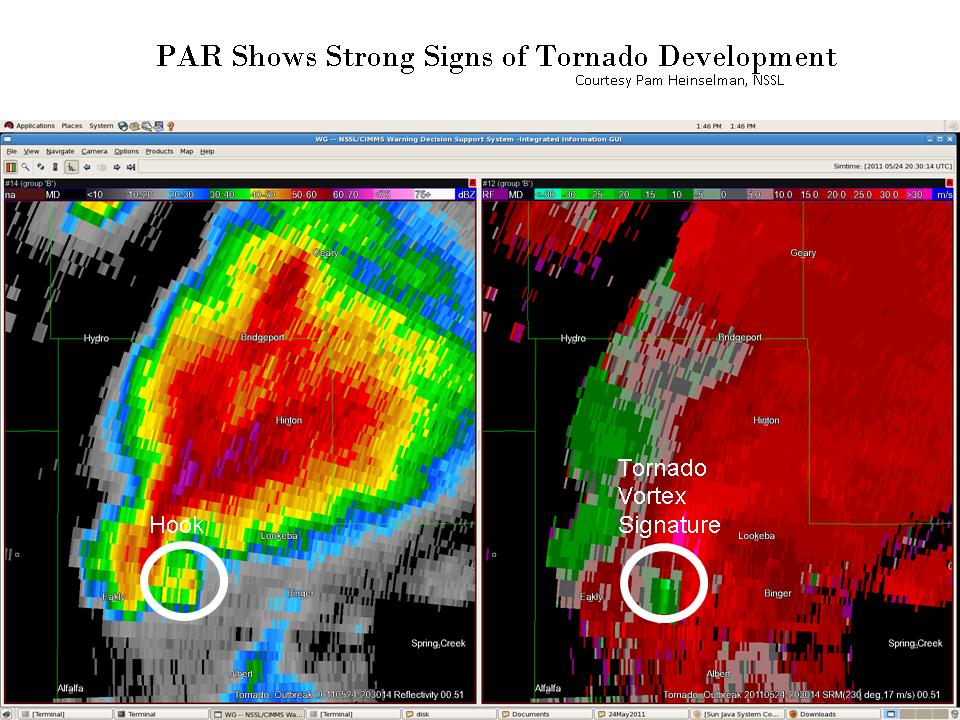
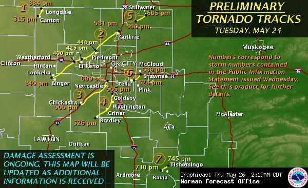
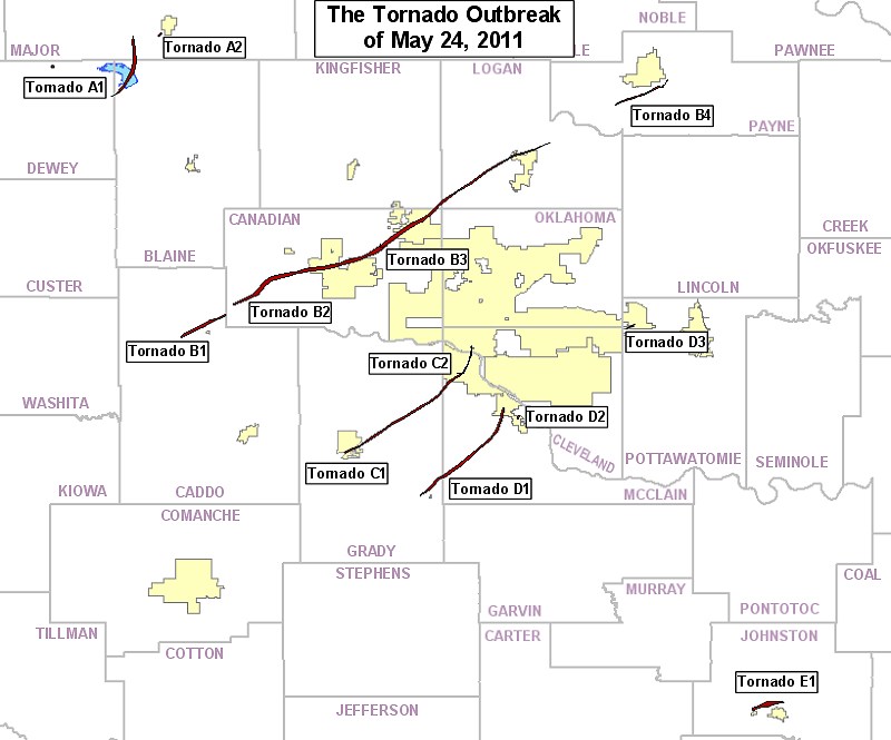
Also on May 24, 2011 the Multi-function Phased Array Radar (MPAR) successfully sampled a tornadic supercell every 1 minute as it evolved and went on to produce devastating EF-5 damage in towns west of Oklahoma City, Okla. A comparison of PAR data with the damage path shows the radar captured rotation in the storm 12 minutes before it touched down. This tornado was on the ground for two hours with a 75-mile long track.
Data was also collected with PAR on four other tornadic supercells and a strong microburst.
The experimental High-Definition Videosonde Particle Imager, designed to capture high-definition images of raindrops and ice particles, was successfully launched into three thunderstorms. Results are being analyzed.


