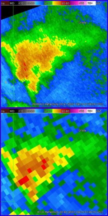
As severe weather approaches central Oklahoma this spring, NSSL/Cooperative Institute for Mesoscale Meteorological Studies researchers will be able to study fast-changing storms using a new radar processing technique.
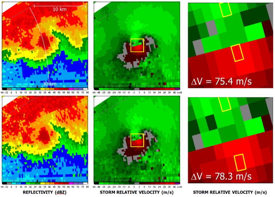
The technique, called “range oversampling,” cuts radar update times in half while increasing the accuracy of the data. Researchers will be looking for subtle features that alert to the potential of severe weather and changes in the thunderstorm wind fields to better understand storm evolution.
Range oversampling was successfully installed and run in real time on the National Weather Radar Testbed (NWRT) phased array radar in the spring of 2010.
Phased array radar has a unique flat panel antenna that collects the same information as current radars, but more than five minutes faster. Range oversampling has decreased the already fast scan time by roughly a factor of two.
Forecasters participating in the 2010 Phased Array Radar Innovative Sensing Experiment (PARISE) tested the usefulness of the rapidly updating data. Preliminary results from one case showed forecasters were able to issue a tornado warning 21 minutes before the tornado touched down. This is a significant increase over the National Weather Service’s current average 14-minute tornado warning lead time.
Range oversampling is now operational in modified scanning strategies that have become the default settings on the NWRT phased array radar.
This significant improvement in radar data processing will help pave the road for an eventual implementation on the WSR-88D radars and benefit NWS forecasters.


