While scientists have learned a lot about our planet, questions remain about the lowest part of the atmosphere where we live. Researchers at the NOAA National Severe Storms Laboratory are looking for answers. Utilizing a series of instruments located in a mobile research unit, researchers are analyzing data gathered by those tools to improve severe weather forecasts.
The lowest mile or so of the atmosphere, known as the planetary boundary layer, is where several elements mix — from pollution to moisture — and how those elements mix and change during the day impact events in the atmosphere.
“Understanding the boundary layer can improve forecasts of severe weather, pollution, and several other things impacting the surface,” said Elizabeth Smith, NOAA National Severe Storms Laboratory researcher.
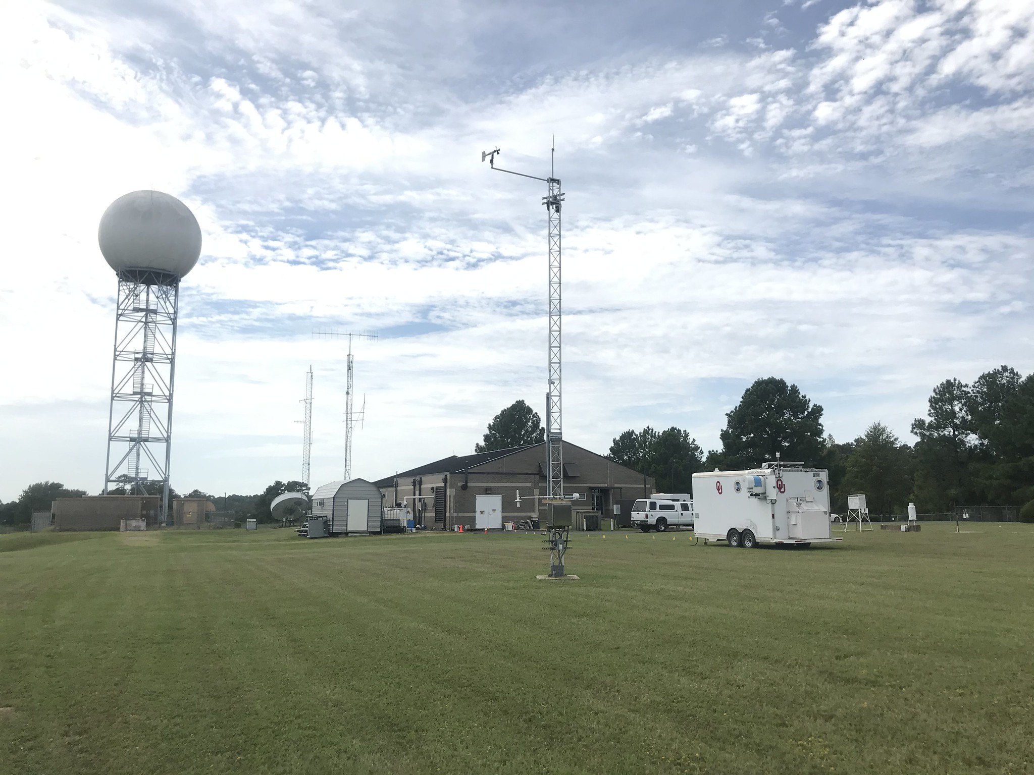
In an effort to improve understanding, weather researchers with the Cooperative Institute for Mesoscale Meteorological Studies at the University of Oklahoma and NOAA NSSL deployed two trailers decked out with a collection of weather instruments known as the Collaborative Lower Atmospheric Mobile Profiling System in fall 2020.
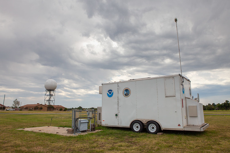
The CLAMPS platforms were deployed near a weather radar and a weather station in Oklahoma as well as the National Weather Service Forecast Office in Shreveport, Louisiana. The fast-updating, high-resolution data collected provides a more detailed view of the atmosphere and its processes for researchers to analyze.
In addition, the Shreveport NWS Office utilized CLAMPS to monitor both fog and fire weather forecasts during CLAMPS deployment in the area. That office also noted interesting and surprising boundary layer behavior when smoke from fires raging in the western part of the United States infiltrated into the area.
NWS Shreveport Science and Operations Officer Brad Bryant said output from CLAMPS was particularly useful for refining fog and fire weather forecasts because both sets of parameters are closely tied to specifics of the boundary layer CLAMPS is tuned to monitor.
CIMMS Researcher and Project Lead Jacob Carlin said the CLAMPS platform collects information more frequently than weather balloons launched daily by NWS forecasters across the nation. Although both methods gather similar information about the atmosphere, weather balloons are typically launched twice a day while CLAMPS gather data every couple of minutes.
More data can result in a more accurate representation of atmospheric processes at any moment. Data from the CLAMPS systems is combined with data from the NEXRAD radar, further enhancing researchers’ view of the atmosphere and what is happening.
This project is an extension of a recently published study that compared the twice-a-day balloon launch data with data from a nearby NEXRAD radar. Carlin’s team is going further, comparing CLAMPS minute data with a nearby NEXRAD radar and weather station.
“We want to understand how well this method performs with CLAMPS, because if it is able to reliably observe boundary layer height and development, then this method can improve forecasts and forecasting tools,” Carlin said.
With this new dataset, the researchers hope to learn more about how well NEXRAD radar can detect the boundary layer, expanding the capability of existing infrastructure at no additional cost.
Funding for this study was provided by the Cooperative Institute for Mesoscale Meteorological Studies’ Director’s Discretionary Research Fund, which supports the piloting of small-scale innovative and experimental projects.


