 An early prototype of a high-impact weather forecast system will get a real-time demonstration in the NOAA Hazardous Weather Testbed (HWT) this spring. This “Warn-On-Forecast” using a new HRRR-ensemble system will ultimately produce forecasts that define the probability of a weather hazard occurring, quantify the confidence in its path, and adjust to trends in the threat level based on new observations. This work combines the best technologies from NOAA’s Earth System Research Laboratory (ESRL)/Global Systems Division (GSD) and NOAA’s National Severe Storms Laboratory (NSSL).
From May 2 to June 3 in the NOAA Hazardous Weather Testbed in Norman, Oklahoma, more than 80 forecasters, researchers, and model developers will use this “state of the art” system, gain experience with software and workflows, and help developers identify its strengths and weaknesses. This is a significant step towards the National Weather Service (NWS) strategy of Forecasting a Continuum of Environmental Threats (FACETs) at ultra-high resolutions. Scientists hope to have a national HRRR ensemble system in operations later this decade and a WoF system in operations by 2023.
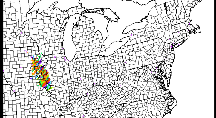
The foundation of the WoF prototype is ESRL/GSD’s experimental hourly-updating High-Resolution Rapid Refresh–Ensemble (HRRRE) regional analysis and prediction system. To start HRRRE with the current weather, the system uses special techniques to bring surface, aircraft, and other observations into the early stages of the model run. HRRRE then produces multiple forecast scenarios out to 15 hours, all starting with slightly different initial conditions, to produce hourly snapshots of possible weather conditions. HRRRE cycles every hour to merge the forecast models with real-time data and bring small-scale storm structure into focus.
HRRRE predictions will then be the starting point for the prototype sub-3km 0-1 hour NSSL Warn on Forecast System for Ensembles (NEWS-e). NEWS-e will ingest radar and cloud data at 15-minute intervals to produce frequent 90-minute forecasts of thunderstorms. Researchers are working to make these very short-range probabilistic forecasts accurately predict storm-scale hazards such as low-level rotation in supercell thunderstorms, thunderstorm winds, damaging large hail, and flash flooding.
The NOAA HWT Spring Forecasting Experiment is organized every year by NSSL and the NOAA Storm Prediction Center to test emerging concepts and technologies to improve predictions of hazardous convective weather. This year’s participants include the NOAA NWS, the NWS Weather Prediction Center, ESRL/GSD, the NOAA Environmental Modeling Center, the Aviation Weather Center, the National Center for Atmospheric Research, the Cooperative Institute for Research in Environmental Sciences at the University of Colorado Boulder, the Center for the Analysis and Prediction of Storms, the University of Oklahoma School of Meteorology, the Cooperative Institute for Mesoscale Meteorological Studies, and other university and international partners.


