
2001
NSSL participates in the Pacific Land falling Jets Experiment (PACJET) along and offshore of the U.S. Pacific coastline to improve short-term forecasts and warnings of floods, damaging winds and other severe weather.
A fire destroys the NSSL field research equipment storage facility including one of two mobile radars, a new lightning mapping array, a new mobile laboratory, a mobile mesonet instrumented vehicle, and many valuable instruments.
An NSSL scientist develops the Hazardous Weather Pager Program that sends lifesaving weather messages via pagers to subscribers with hearing disabilities.
2002
The Joint Polarization Experiment (J-POLE) tests the polarimetric capabilities of the WSR-88D in Norman, OK in an operational demonstration in collaboration with operational hydrologists, meteorologists and aviation users.
NSSL partners with researchers from around the world for the International H20 (IHOP) field project. The goal is to improve understanding of the process of convective initiation and boundary evolution, and learn what types of data are needed to make forecasts of thunderstorms and rainfall amounts more specific.
2003
The NWRT Multi-function Phased Array Radar (MPAR) becomes operational.
NSSL completes Project CRAFT; successfully proving that real-time access to high-resolution radar data from multiple radars is technically possible and economically feasible.
NSSL participates in the Bow Echo and Mesoscale Convective Vortices Experiment (BAMEX) during May–June 2003 to understand the processes and improve prediction of systems that produce severe winds.
The Oklahoma Lightning Mapping Array (O-LMA) becomes operational and is used by NSSL researchers to investigate how lightning characteristics relate to updrafts, precipitation, and severe storm processes.
The Thunderstorm Electrification and Lightning Experiment (TELEX) begins the first year of a two year project to learn how lightning and other electrical storm properties are dependent on storm characteristics.
2004
NEXRAD Program Management Committee approves taking first steps towards upgrading the national operational WSR-88D network to include dual-polarimetric capabilities developed by NSSL.
It is the second year of TELEX.
NSSL seamlessly mosaics all 130 NWS and Department of Defense weather radars across the U.S. to provide the first high-resolution depiction of storms and quantitative precipitation estimation products from coast-to-coast in real-time.
Data collection with the Multi-function Phased Array Radar (MPAR) begins.
2005
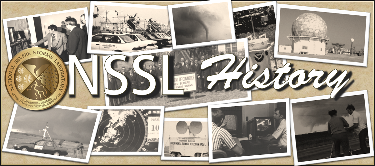
NSSL celebrates its 40th Anniversary.
NSSL SMART-R team operates the mobile radar in California to help forecast debris flows in areas burned by wild fires.
The NSSL-developed multi-sensor technology to improve severe weather warning decision-making will be moved into operations.
The first National Weather Festival draws 1000 visitors to tour NSSL facilities.
Students make phone calls to collect reports of severe weather from the public as part of the Severe Hazards Analysis and Verification Experiment (SHAVE).
2006
NSSL moves into the new National Weather Center six miles south of their previous location.
MPAR detects rotation, hail, microbursts and gust fronts well ahead of other radars due to its rapid scan capability.
NSSL and the SPC formally organize their collaboration towards improving severe thunderstorm and tornado watches and warnings in the new NOAA Hazardous Weather Testbed (HWT).
NSSL leads the Coastal and Inland Flood Observation and Warning (CI-FLOW) Project to improve flood forecasts and warnings in coastal areas.
NSSL deploys a mobile radar to provide data for the Flash Flood and Debris Flow project in California.
2007
NSSL introduces real-time MPAR data to forecasters in a simulated operational environment and receive positive feedback. The project is called “Phased Array Radar Innovative Sensing Experiment” (PARISE) and is ongoing.
NSSL researchers create the Meteorological Development Lab to invite collaboration and discussion on current projects being developed.
NSSL launches a new Web site to reach out to a wider audience including students, researchers, colleagues, media and the public.
The NOAA HWT identifies two interrelated areas of focus creating the Experimental Warning Program to target improving severe weather warning precision, and the Experimental Forecast Program to improve predictions of hazardous convective weather phenomena.
NSSL’s prototype Four-Dimensional Stormcell Investigator (FSI) designed to “slice and dice” storms is alpha-tested in three NWSFO’s and will be implemented at all WFO’s.
MPAR scans landfalling Tropical Storm Erin as it tracks over Oklahoma.
NSSL launches a “Video Highlights” Web page.
2008
NSSL adds a mobile X-Band dual-polarized radar (NOXP) to the armada of mobile research equipment.
NSSL operates the SMART-R in Arizona to observe the lifecycle of strong microbursts and assess their impact on the Salt River Project’s electrical power transmission and infrastructure.
NSSL’s SMART-R team transmits mobile radar data to the NWSFO in Oxnard, CA in real-time, aiding the office in their decision to issue a flash flood warning.
The NWS in Little Rock, Ark. uses NSSL’s “On-Demand” severe storm verification system to help with damage surveys and warning verification following the Super Tuesday tornado outbreak in the south-central U.S.
2009
NSSL embraces social networking by creating a Facebook and Twitter presence.
The Verification of the Origins of Rotation in Tornadoes Experiment 2009-2010 (VORTEX2) begins. It is the largest field tornado research project in history deploying ten mobile radars and 40 other instrumented vehicles. VORTEX2 is working to better understand how, when and why some supercell thunderstorms produce tornadoes and others do not. The project was designed to observe all scales of motion from the thunderstorm down to the tornado.
VORTEX2 collects data on a tornado in LaGrange, Wyoming using all of their mobile research equipment. It remains the best-sampled storm in history.
2010
An NSSL team deploys a dual-polarized mobile radar and a team of researchers to support the 2010 Winter Olympic Games through their participation in Science and NOWcasting of Olympic Weather for Vancouver (SNOW-V10). It is a unique opportunity for international collaboration on the science of winter nowcasting in complex terrain.
NSSL/CIMMS team win the prestigious Vaisala Award for their Outstanding Research Paper, “Rapid Sampling of Severe Storms by the National Weather Radar Testbed Phased Array Radar.”
NSSL deploys a mobile radar in the Southwest Colorado Radar Project to collect data on thunderstorm rainfall to better understand and forecast flash flooding caused by the Southwest Monsoon.
The Central Oklahoma chapter of the American Red Cross uses NSSL’s WDSS-II: On Demand system to assess tornado disaster areas much faster than before.
VORTEX2 continues and logs over 25,000 miles for each vehicle over the two-year project sampling 36 supercell thunderstorms and 11 tornadoes.
The Kimpel Symposium, a review of successful meteorological programs in Oklahoma including contributions made by Dr. Jeff Kimpel, and a look into the future of severe weather research, was held at the National Weather Center on Friday, June 18, 2010.
More than 5000 visitors attend the 6th annual National Weather Festival at the National Weather Center in Norman, Okla.

