Significant Papers reported to HQ for the week ending April 17. The links to each are in blue.
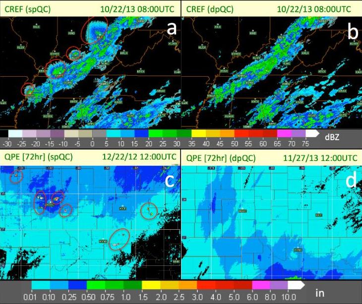
1. Carlin, J. 2015. Weather radar polarimetry: Dual-pol radar promises to improve the modeling of convective storms. Physics Today. March, 2015.
Significance: This is a concise and very accurate description of the basics of weather radar polarimetry and its potential benefits for convective-storm modeling.
2. Johnson, A., Wang, X., Carley, J., Wicker, L., Karstens, C. (2015). A comparison of multi-scale GSI-based EnKF and 3DVar data assimilation using radar and conventional observations for mid-latitude convective-scale precipitation forecasts. Monthly Weather Review 2015.
Significance: Implication is that the current state of 3DVar within the GSI is not well suited for the assimilation of high-resolution meoscale and storm-scale data. The results supports NCEP developing ensemble-based data assimilation methods (potentially including hybrid methods) for meso- and storm-scale prediction.
3. Potvin, C., Flora, M. (2015). Sensitivity of idealized supercell simulations to horizontal grid spacing: Implications for Warn-on-Forecast. Monthly Weather Review 2015.
Significance: Improved understanding of grid spacing dependence of simulated convection will be needed to properly interpret and calibrate ensemble output, and to optimize tradeoffs between model resolution and other computationally constrained parameters like ensemble size and forecast lead time.
4. Yussouf, N., Dowell, D., Wicker, L., Knopfmeier, K., Wheatley, D. (2015). Storm-scale Data Assimilation and Ensemble Forecasts for the 27 April 2011 Severe Weather Outbreak in Alabama. Monthly Weather Review 2015.
Significance: The short-range ensemble probabilistic forecasts obtained from this study demonstrate the potential of a frequently-updated, high-resolution NWP systems that could be used to extend severe weather warning lead times (WoF).


