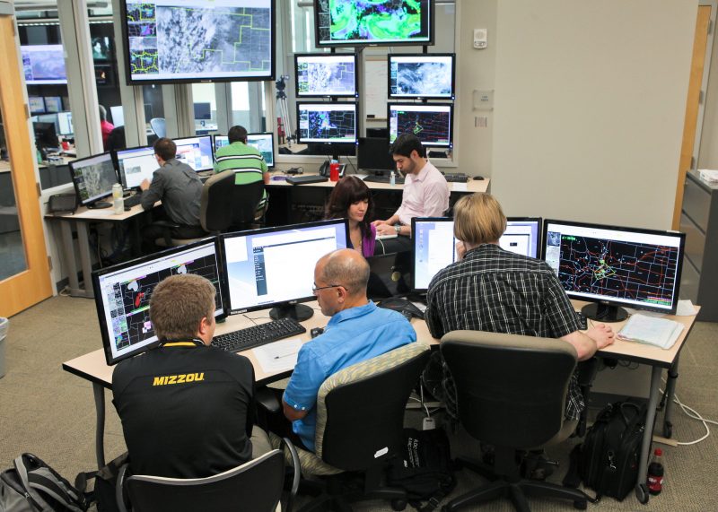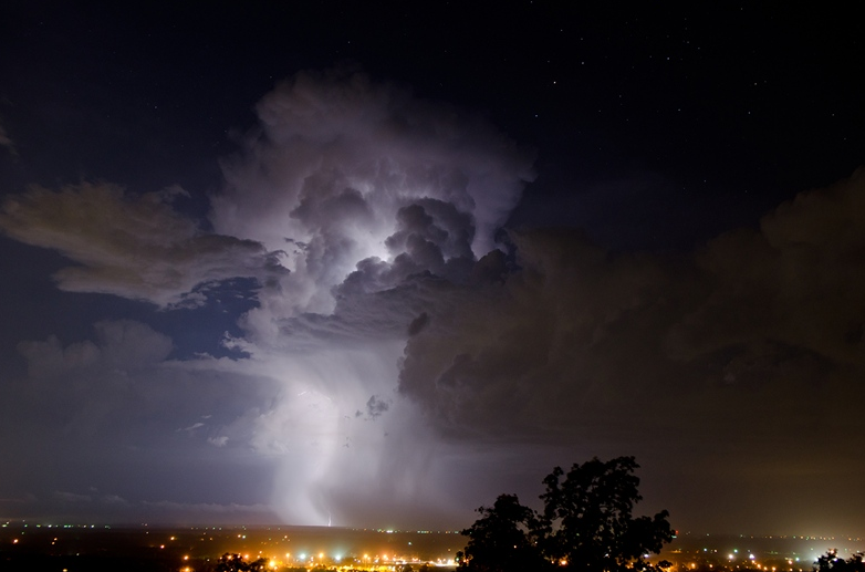
Several experiments to improve National Weather Service severe weather warnings will be conducted this spring in the NOAA Hazardous Weather Testbed (HWT) as part of the annual Experimental Warning Program, a joint project of the National Weather Service and NSSL/CIMMS to support NOAA’s goal to evolve the National Weather Service and build a Weather-Ready Nation. The EWP’s Spring Warning Project will run from May 4 through June 12, and provides a conceptual framework and a physical space to foster collaboration between research and operations to test and evaluate emerging technologies and science.
Forecasters will evaluate an updated Lightning Jump Algorithm (LJA), based on the GOES-R Geostationary Lightning Mapper, that was enhanced based on feedback from forecasters participating in the 2014 program. In severe storms, rapid increases in lightning flash rate, or “lightning jumps,” typically precede severe weather such as tornadoes, hail, and straight line winds at the surface by tens of minutes. These evaluations will help prepare for possible operational implementation in 2016 following the launch of GOES-R.
Earth Networks’ total lightning and total lightning derived products, including storm-based flash rates tracks, time-series, and three levels of thunderstorm alerts will be evaluated in real time, building upon the initial evaluation in 2014. The 2015 evaluation will test the feasibility of use and performance under the stress of real-time warning operations.
A new set of high-resolution Weather Research and Forecasting (WRF) models will serve as a prototype for developing the “Warn-on-Forecast” warning paradigm. Feedback from this project will go into developing new model tools capable of managing the large amounts of model information associated with future forecast systems.
During three weeks of the experiment, forecasters will assess a new tool using rapidly-updating high-resolution gridded Probabilistic Hazard Information (PHI) as the basis for next-generation severe weather warnings. This experiment is part of a broad effort to revitalize the NWS watch/warning paradigm known as Forecasting a Continuum of Environmental Threats (FACETs). The major emphasis of the HWT PHI experiment will be on initial testing of concepts related to human-computer interaction while generating short-fused high-impact Probabilistic Hazard Information for severe weather. The long-term goal of this effort is to migrate the refined concepts and methodologies that result from this experiment into Hazard Services, the next generation warning tool for the NWS, for further testing and evaluation in the HWT prior to operational deployment.
This year will mark the inaugural HWT Experiment with Emergency Managers. The EMs will be provide feedback on their interpretation of experimental probabilistic forecasts generated in the HWT from the PHI experiment and the Experimental Forecast Program (EFP). This feedback will be used in conjunction with feedback from forecasters to refine how the uncertainty information is generated and disseminated.


