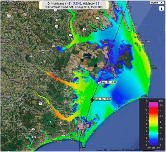
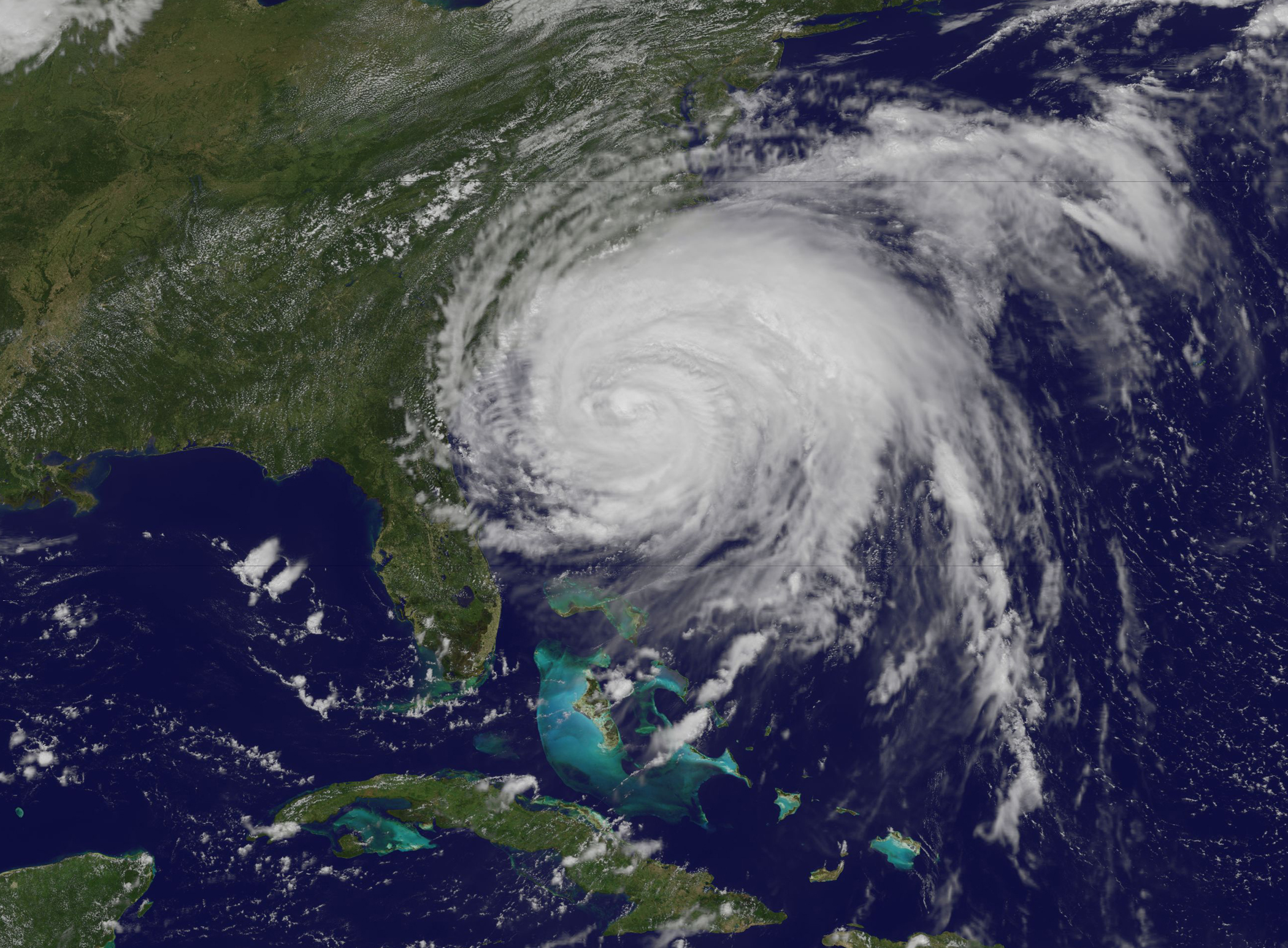
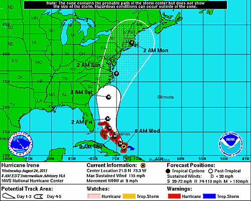
 The Coastal and Inland Flooding Observation and Warning (CI-FLOW) project began producing real-time 84-hour simulations of total water level in coastal North Carolina from Hurricane Irene on Tuesday, August 23. Hurricane Irene made landfall near Morehead City, N.C.
CI-FLOW total water level simulations were compared with water levels observed during the storm. Researchers found a high level of agreement in both the timing and water level heights for the Tar-Pamlico and Neuse River coastal watershed.
CI-FLOW is the first system to capture the complex interaction between waves, tides, river flows, and storm surge to produce total water level simulations.
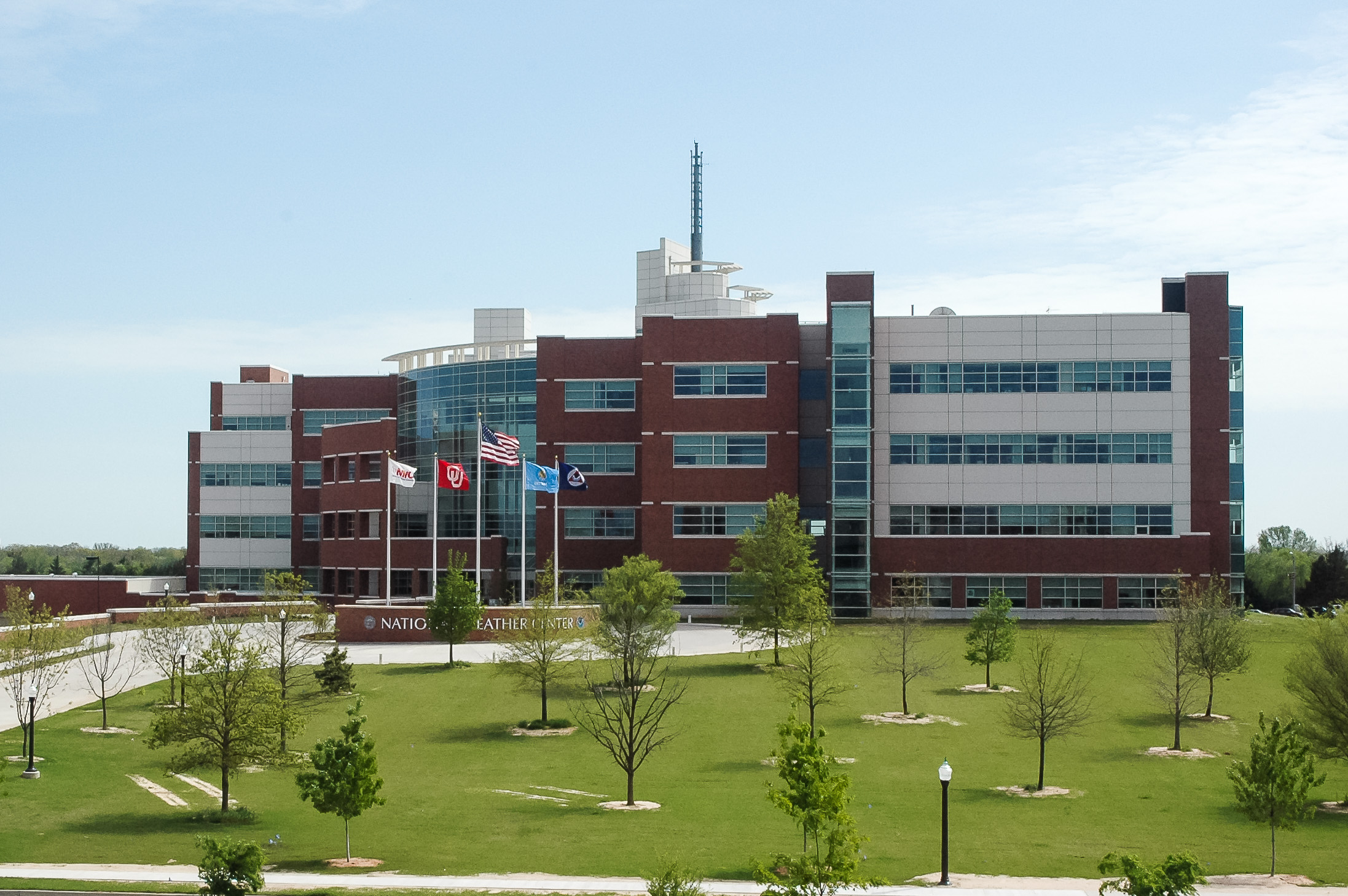
CI-FLOW’s unique interdisciplinary team is lead by the NOAA National Severe Storms Laboratory and includes North Carolina, South Carolina, & Texas Sea Grant Programs, National Sea Grant, Renaissance Computing Institute, University of North Carolina at Chapel Hill, University of Oklahoma, NWS Offices in Raleigh & Newport/Morehead City, NWS Southeast River Forecast Center, NOAA Coastal Services Center, NOAA in the Carolinas, Centers for Ocean Sciences Education Excellence SouthEast, NWS Office of Hydrologic Development, and National Ocean Service Coast Survey Development Laboratory.


