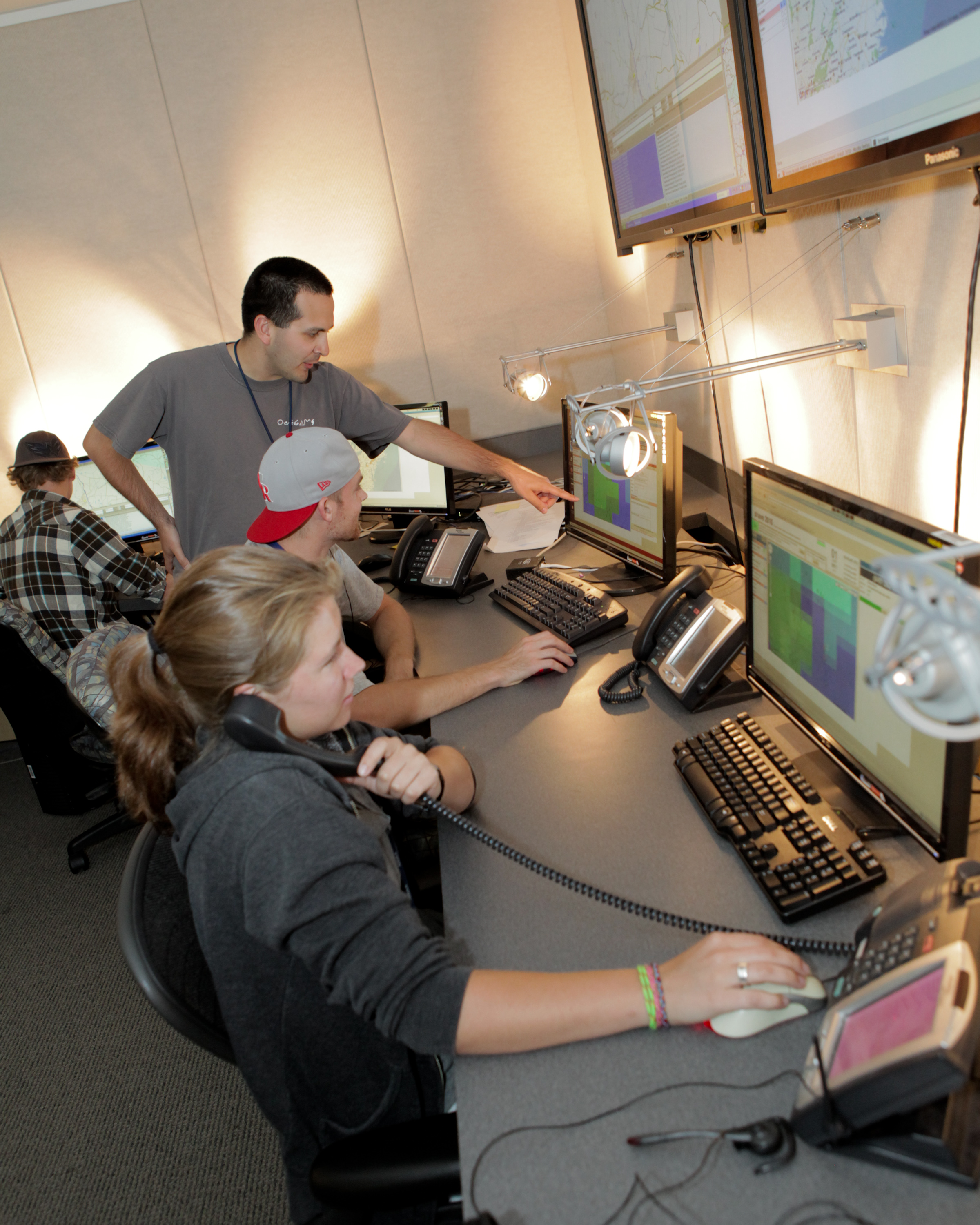
Submitting a severe weather report to a local National Weather Service Forecast Office is voluntary. These reports are archived and used for research, but are often incomplete. To fill in the missing pieces, students working for the National Severe Storms Laboratory are spending their summers making phone calls to the public affected by severe thunderstorms. Their job is to collect information on hail sizes, wind damage and flash flooding as part of the Severe Hazards Analysis and Verification Experiment (SHAVE).
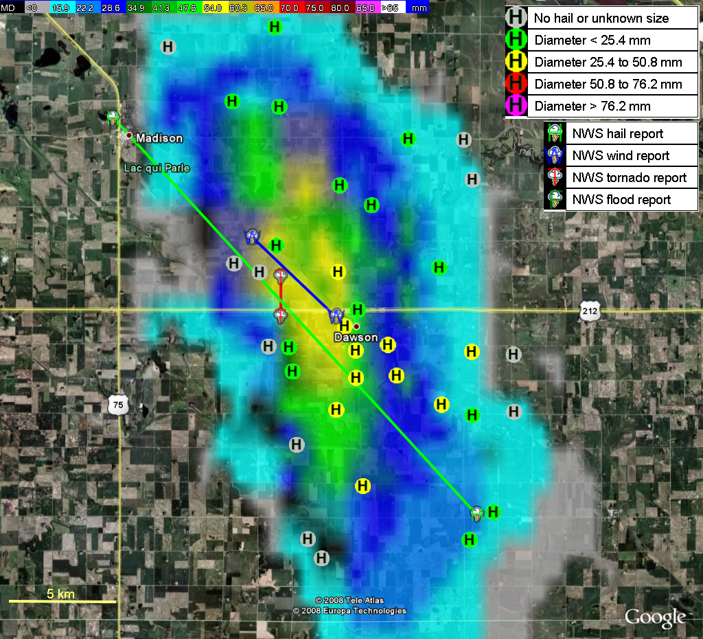
NSSL/CIMMS scientists coordinating SHAVE target all types of storms to collect a diverse dataset. The SHAVE project blends public reports with high-resolution radar data from NSSL’s Warning Decision Support System – Integrated Information and geographic information from Google Earth. Their goal is to improve decision-making tools used by the NWS in the forecast and warning process. The collected data will also pave the way for improvements to the historical severe storms database.
The SHAVE database is also available in real-time to the NWS offices to augment their own storm spotter networks. A NWS Warning Coordination Meteorologist commented about SHAVE’s impact in his office: “The SHAVE project inspired some of us to utilize Google Earth in operations in real time to try and get real time reports, as well as a sense of the intensity of storms as they are happening. As a result…severe thunderstorm warning [accuracy] increased from 49% to 60%”
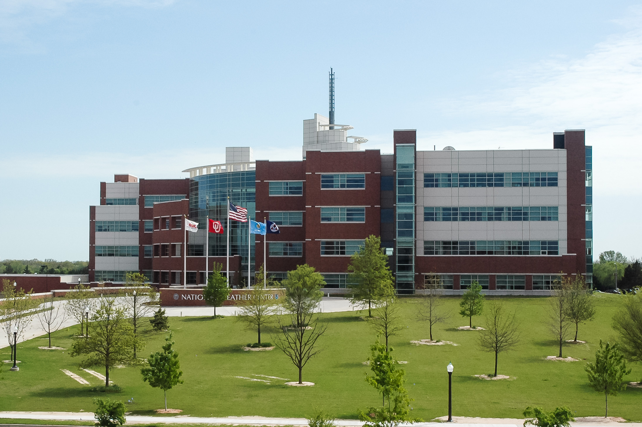
SHAVE is part of the NOAA Hazardous Weather Testbed – Experimental Warning Program, and runs from mid-May through mid-August every year. This is the fourth year of operations.


