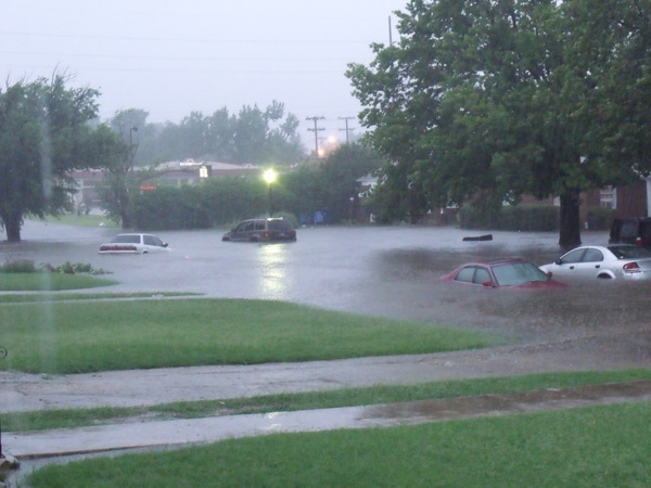
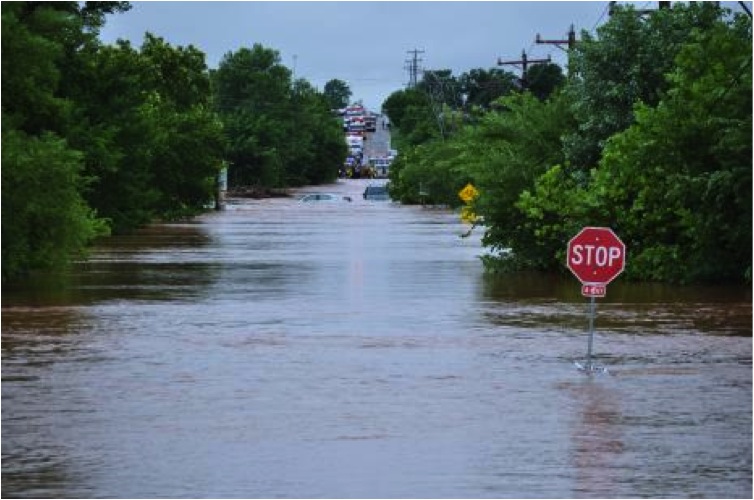
Flash floods — raging torrents of water caused by heavy rainfall and overtopped rivers and streams — can become deadly in a matter of minutes.
Now, a new forecasting tool is helping NOAA National Weather Service forecasters predict when and where these devastating events will occur.
Developed by researchers at NOAA’s National Severe Storms Laboratory and its partners, FLASH — short for the Flooded Locations and Simulated Hydrographs Project — combines real-time rainfall estimates with real-time surface models to supply forecasters better information and more confidence with which to issue flood warnings.
How it works
FLASH gathers rainfall data from multiple radars, combines it with information about the type of surface where rain is falling and creates a highly detailed forecast for when specific rivers and streams will flood and by how much. FLASH also provides historical context, helping forecasters communicate the significance of a predicted flash flood.
FLASH was tested by researchers and NWS forecasters during the HMT-Hydro testbed experiments from 2014-2016, allowing the product to be fine-tuned.
What’s Next
FLASH is being reframed into a fully probabilistic framework called Pro-FLASH. This consideration of uncertainty in the modeling process accommodates forcings from ensemble precipitation forecasts.
Such can increase the lead time with the distributed hydrologic forecasts, but must consider the associated uncertainties with the forcings. We are also developing FLASH products for the outer-continental United States domains including Alaska, Hawaii, Guam, and the Caribbean.


