As Hurricane Harvey came ashore along the Texas coast, NOAA National Severe Storms Laboratory Researcher Sean Waugh managed to do what no one has done before — he launched a weather balloon in the eye of the hurricane. The data recorded by the balloon’s instruments as it circled Harvey’s eyewall were record-breaking and confusing, and will require time and research to explain.
“This was the first observation of its kind,” Waugh said. “No one has ever seen this type of data, some of the values are exceptionally high and we are still trying to determine what those values mean.”

The eyewall is the edge of the eye of the hurricane — the strongest area of the storm. Two measurements from the balloon launch were particularly interesting. The first was a wind profile that produced computed values higher than ever observed, indicating its use in these circumstances may not be correct. The second, a measurement of potential rain, was also extreme, and may have been an early indication of the unprecedented flooding produced by Harvey.

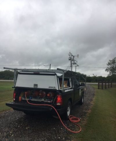
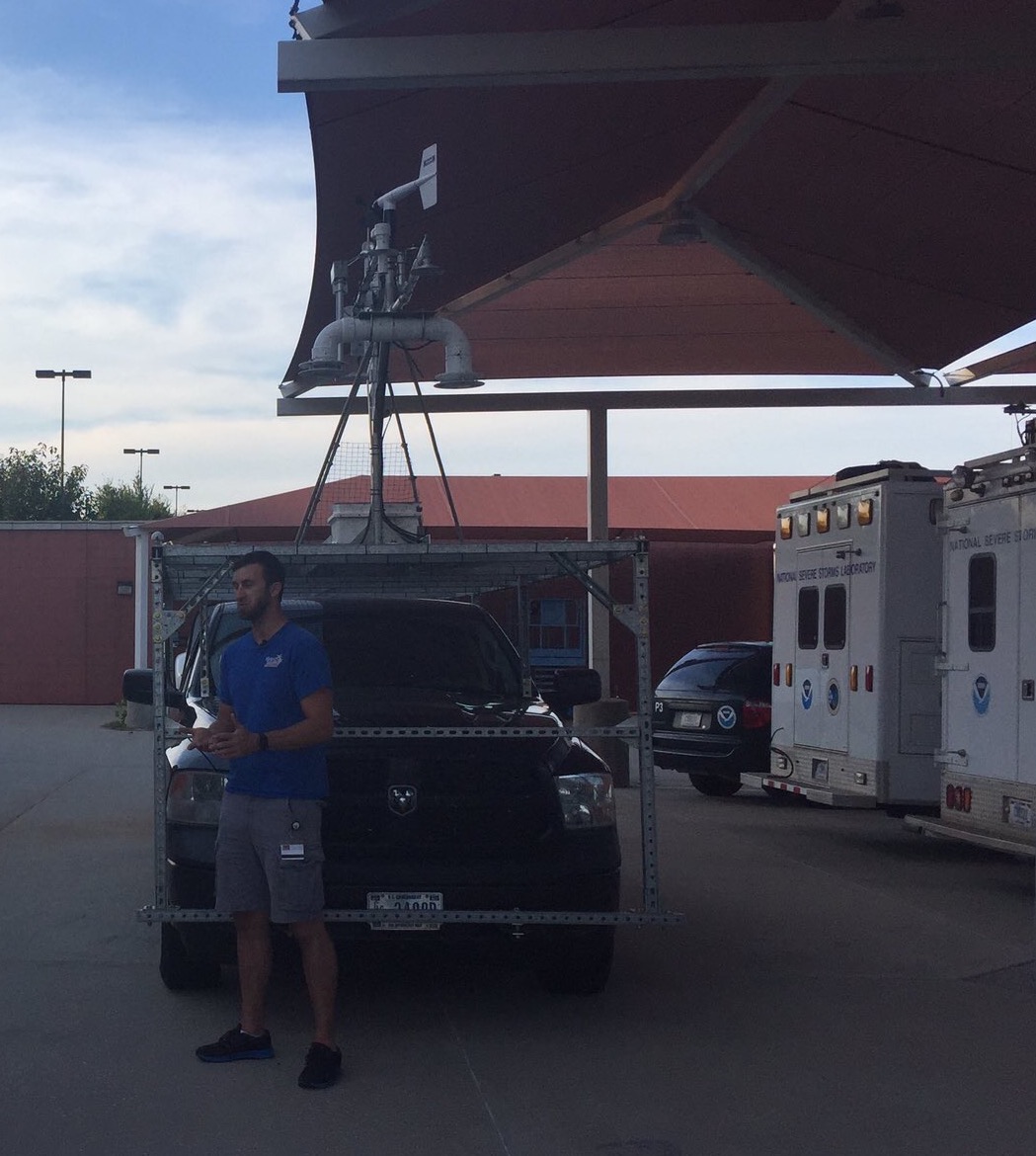
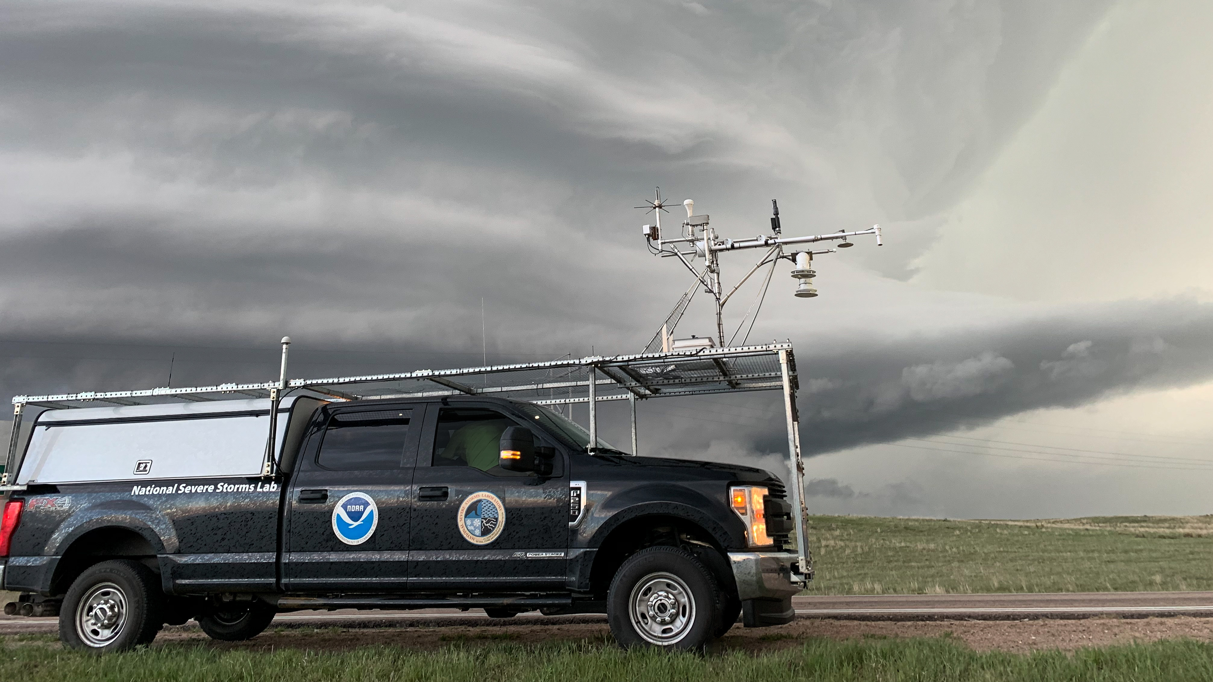
The balloon launch was one part of Waugh’s efforts to collect data in the path of Hurricane Harvey. From a truck with roof mounted instruments called a mobile mesonet, he recorded observations of rain, wind, temperature and humidity for an extended period of time.
Gathering the data was not a task for the faint of heart. Before and after the balloon launch, Waugh experienced high winds — nearly 100 miles per hour — while sitting in the heavy mobile mesonet truck.
Waugh coordinated on this project with scientists from The University of Oklahoma College of Atmospheric and Geographic Sciences. The university team collected data with their radar-equipped truck.
Over time, Waugh hopes to better understand this unprecedented data set, and how it can contribute to a greater understanding of hurricanes and the tornadoes they produce.


