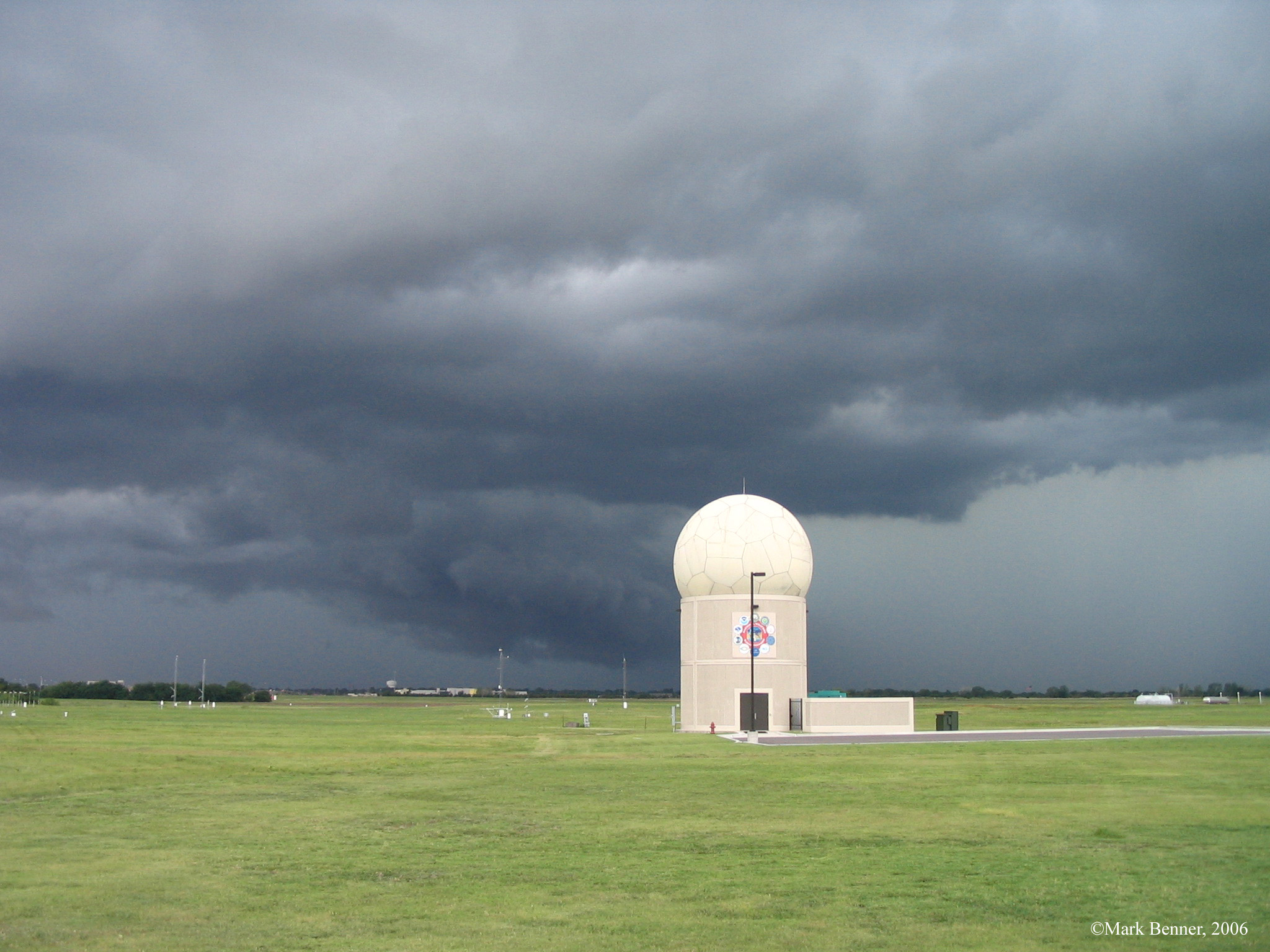
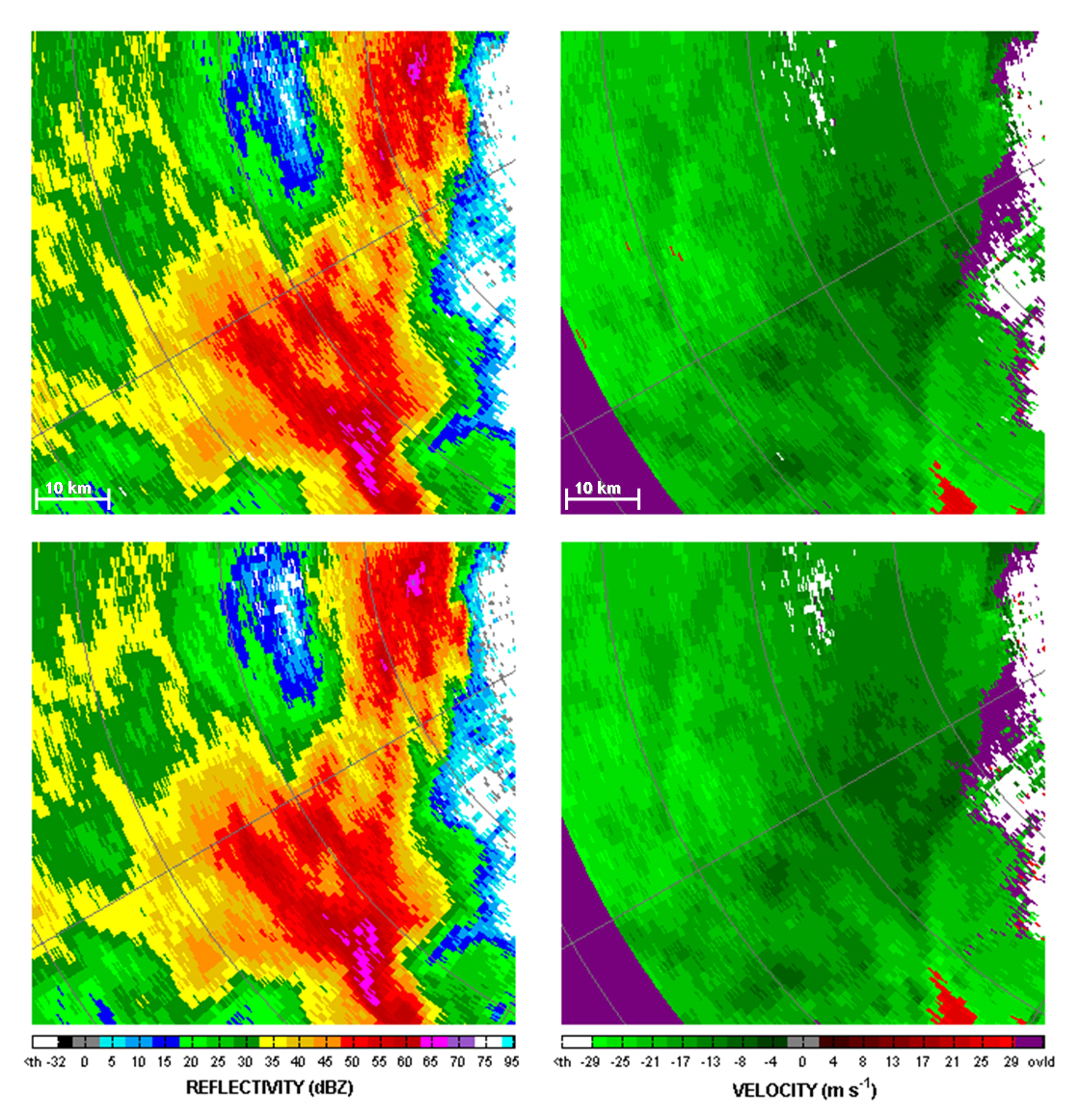
On both May 19 and May 20, 2013, NSSL researchers collected data on storms that produced tornadoes using both the NWRT Phased Array Radar (PAR), and the mobile dual-polarized radar. The NWRT PAR can scan the sky in less than one minute, five-times faster than current weather radars. Datasets from the rapidly-updating NWRT PAR will help researchers better understand the evolution of rotating thunderstorms and the tornadoes they produce.
May 19, 2013
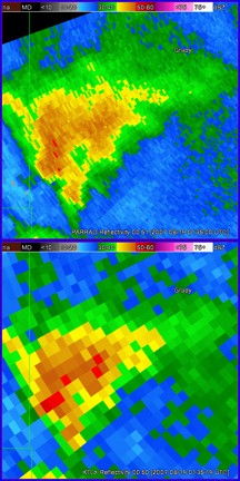
The NWRT PAR, a retired Navy surveillance radar adapted for weather, scanned a storm from its first radar echoes through its production of a tornado. When this storm moved out of range, the PAR was directed to scan the tornado that formed in Norman, Okla. through the time the tornado moved into Shawnee, Okla., killing two people. Loops of radar imagery are below with still images following.
Caught the first tornado from initiation …
http://wdssii.nssl.noaa.gov/web/wdss2/products/radar/NWRT_20130519_storm.gifPicked up the Norman-Shawnee storm after the first was out of range
http://wdssii.nssl.noaa.gov/web/wdss2/products/radar/NWRT_20130519_NOR_Shaw.gifHere is KTLX by comparison
http://wdssii.nssl.noaa.gov/web/wdss2/products/radar/KTLX_20130519_Edmond.gif
May 20, 2013
The NWRT PAR scanned the Newcastle-Moore tornadic storm for almost an hour. This storm produced an EF5 tornado that killed 24 people and injured more than 300.
Here are links to radar loops (still images below):
TOR warning at 1940 UTC
NWRT: The Moore Tornado (1 hr) from 2003-2059 UTC
http://wdssii.nssl.noaa.gov/web/wdss2/products/radar/NWRT_20130520_Moore.gifThe NWRT was tracking (before 2000UTC) a storm to the south that also had a TOR warningKTLX: The Moore Tornado from 1930-2059 UTC
http://wdssii.nssl.noaa.gov/web/wdss2/products/radar/KTLX_20130520_Moore.gifTDWR: The Moore Tornado from 1930-2059 UTC


