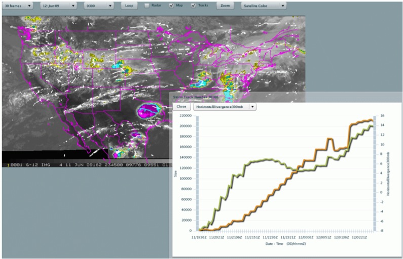
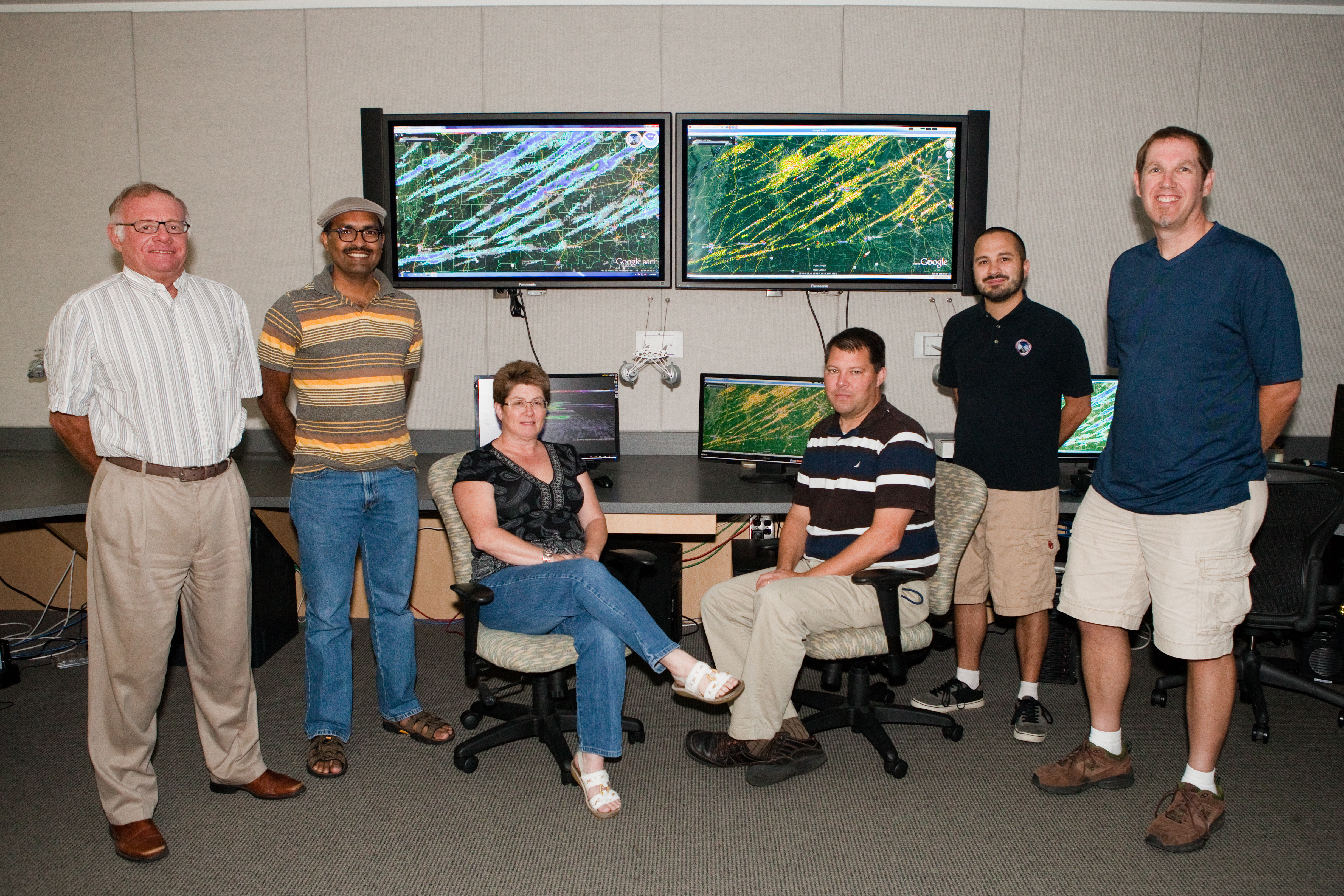
An online interactive tool to automatically identify and track convective clusters from satellite and radar data has been developed by NSSL’s Bob Rabin and Tom Whittaker from the Space Science and Engineering Center /Cooperative Institute for Mesoscale Satellite Studies (CIMSS) at the University of Wisconsin-Madison with assistance from V. Lakshmanan at the Cooperative Institute for Mesoscale Meteorological Studies (CIMMS). The system is designed for research and operational communities to have remote access to both near real-time and archived multi-sensor data including radar, satellite, lightning, and model analyses and forecasts.

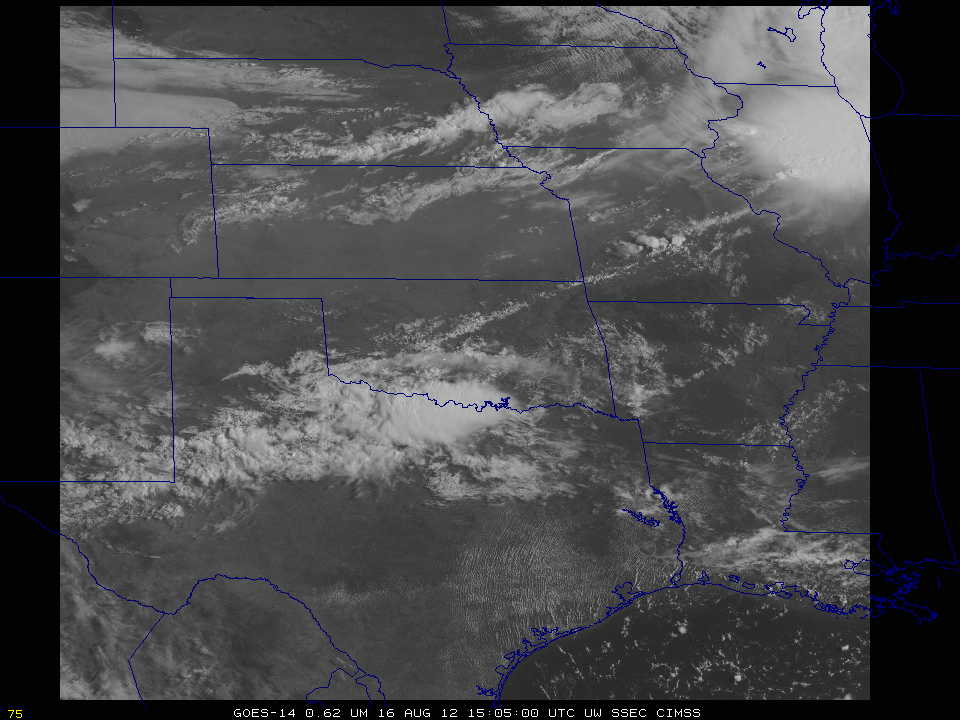
Storm Tracker expands on the concepts of radar tracking algorithms, but uses satellite images instead of radar to track cells. This capability allows it to operate on large storms such as a Mesoscale Convective System (MCS) or tropical storms. Multi-sensor data is also available to study the characteristics of each particular cell. Each storm feature has an identification number, and retains that ID as the cell moves.
Storm Tracker is currently being used to study which (if any) multisensory characteristics can be used to anticipate growth rates and longevity of MCS. This project is in collaboration with the NESDIS CREST (NOAA-Cooperative Remote Sensing Science and Technology Center) at the City College of NY.
Current implementation of the tool is available at: stormtrack.nssl.noaa.gov
This work has been funded in part by the NOAA HPCC program.


