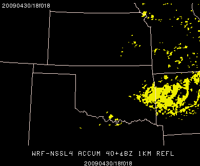
Looks like the WRF3-HRRR (high-rez rapid refresh) has been coming in. I had to update datatype.tbl for the $MODEL/wrf3hrrr/ grid file name. Also, there does not appear to be a 1km REFL parameter in the GEMPAK output. There is REFC (composite reflectivity) and also the history parameters that allow the generation of the SSVR plots.
So, as of the 12Z run May 3, 2009 the following thumbnail image names are available:
Composite reflectivity (compare to crefr):
date_runtime/WRF-HRRR3_CREF_YYYYmmdd12_f000.gif through f012.gif
and…
Hourly synthetic severe (compare to lsr/tlsr):
WRF-HRRR3_SSVR_YYYYmmdd_f000-012.gif
For May 4th: the severe potential across much of the US looks marginal (it figures). However, there is some possibility for high-based or elevated convective initiation across parts of southeast CO into KS/OK/TX areas later in the day and perhaps again overnight. There is also the chance for an isolated LP storm with heating across TX but the chance is low. With that in mind, I decided to set the center point at CDS for Monday.
The weekend saw some remarkable storms! I tried to capture as much as possible. LIT was a good pick for Saturday’s actvity and I picked TCL for the long-track bowing MCS/Derecho event on Sunday. The WRFs from NSSL and NMM both showed some amazinglt accurate simulations and were integral to forecast decisions made at SPC. The convective evolution/mode on both days was relatively well handled. This was especially true on Saturday afternoon/evening across the Arklatex:
http://hwt.nssl.noaa.gov/Spring_2009/loop_3panel.php?date=20090502&image1=nssl_00&image2=brefr&image3=nmm_00&starthr=14&frames=22
The 18-24h forecasts form the NSSL and NMM WRFs valid for Sunday afternoon were also really interesting to review. I think the NMM takes the prize in this comparison with its incredibly accurate depcition of the two linear systems over the MS/AL area Sunday morning. However, the forecast was about 3h too slow.
Compare this 17h forecast from the 4km WRF-NMM:
http://hwt.nssl.noaa.gov/Spring_2009/webimages/thumbnails/20090503_0000/WRF-NMM4_1KM-REFL_2009050300_f017.gif
with this radar image about 3 hours earlier:
http://hwt.nssl.noaa.gov/Spring_2009/webimages/thumbnails/20090503/20090503_14_brefr.gif
One last observation:
The 12Z NMM run on Friday and Saturday was poor guidance and seemed to suffer from the cold start. I would shy away from the 12Z NMM for making decisions about storm initiation based on what I saw Friday and again Saturday. There was no 12Z NMM run on Sunday morning. Not sure what happened there.
That’s it. One more forecast shift on Monday and then back to some hacking on Spring Experiment graphics!
-GregC


