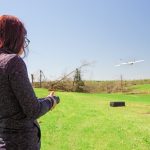
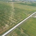
Researchers at the NOAA National Severe Storms Lab are using Uncrewed Aircraft Systems (UAS) to study storm damage in rural areas. In March, researchers captured aerial photos and video of storm damage from hard-to-reach locations using UAS, or drones. Learn about the multispectral camera on the UAS, and how the camera provides imagery showing high-resolution damage to vegetation.
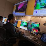
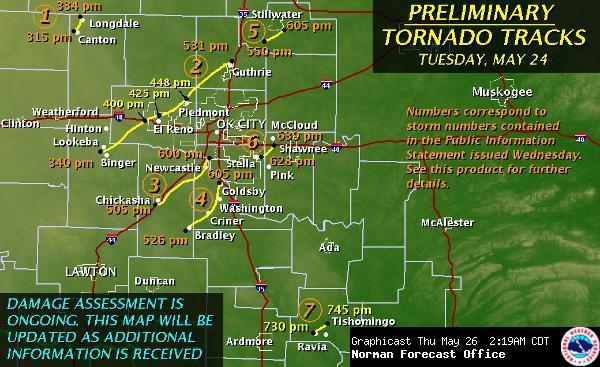
Scientists hope images from the research drones will further improve our understanding of tornadoes, provide more information to NOAA National Weather Service forecasters for storm event ratings, and help improve the accuracy of the NOAA Storm Events Database. NWS forecasters reference the database to help predict future outbreaks; researchers use the database to help create new NWS forecast tools.


