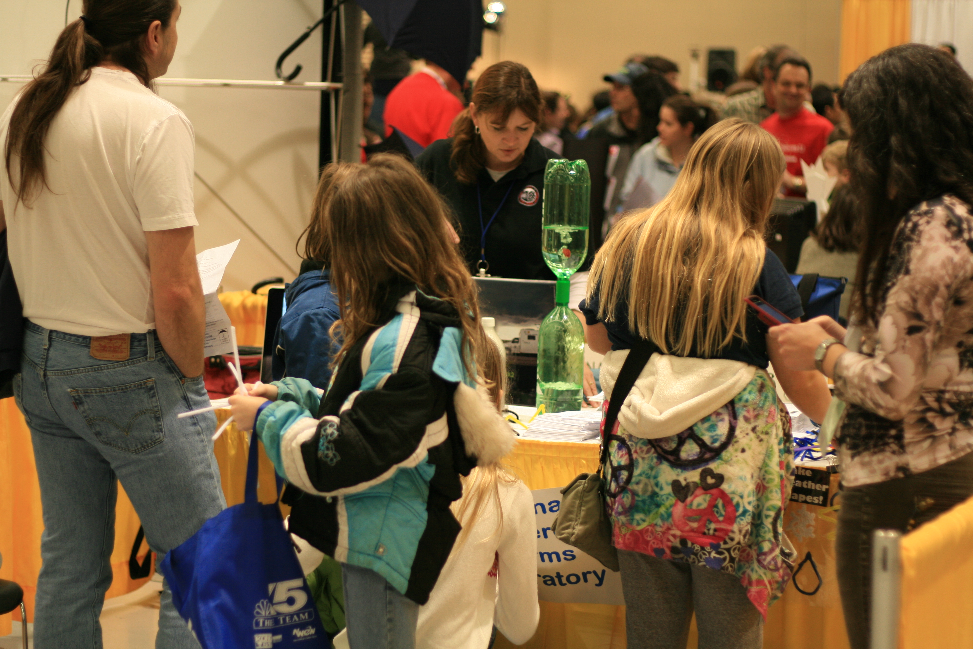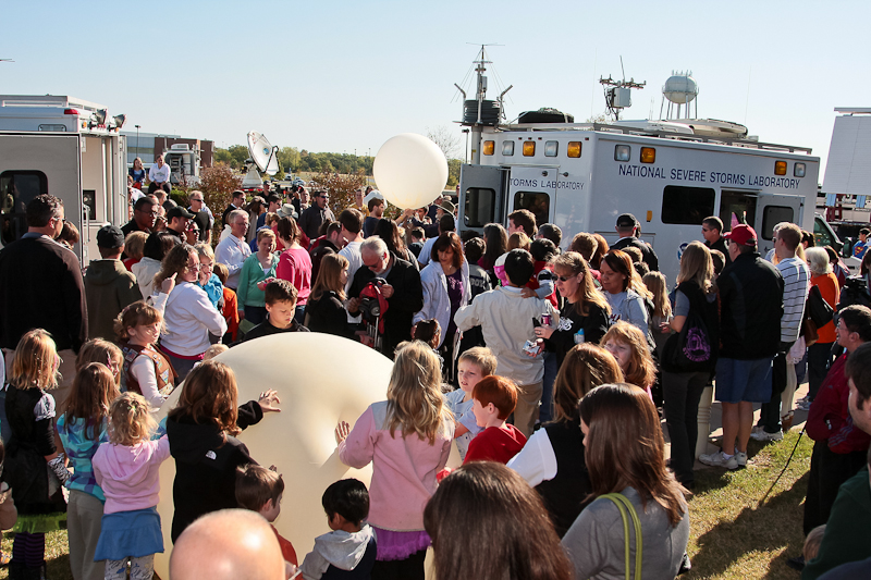
NSSL hosted a booth at the OU GIS Day event at the National Weather Center in Norman, Okla. on November 14, 2012. GIS Day is celebrated internationally to promote awareness of geospatial science and technology. The OU GIS Day event was the first of its kind at the university, and was an opportunity for nearly two dozen organizations to showcase their work in geographical information systems, global positioning systems, and remote sensing. Participation was open to K-12/undergraduate/graduate students, academia and researchers, private industry, non-governmental organizations, local/state/federal agencies, and the public.
NSSL’s booth featured displays of cloud climatology research using high-resolution MODIS satellite data. Researchers also showed images of NSSL’s On Demand system that plots, using Google Earth, swaths of hail and tracks of circulations detected by radar. Also displayed were a poster providing information about spatial datasets developed by and housed at NSSL to support NWS flash-flood operations, and a poster showing the results of a study relating the locations of reported flash-flood impacts to selected exposure factors. In addition, the recently-published book, Automating the Analysis of Spatial Grids by NSSL’s Dr. Lakshmanan, was available for viewing at the booth.


