NSSL’s Field Observing Facilities Support (FOFS) team just finished installing seven new lightning mapping stations in the Oklahoma Lightning Mapping Array (OKLMA). The new sites in southwest Oklahoma, in addition to 11 existing stations in central Oklahoma, are all now operational, just in time for the Deep Convective Clouds and Chemistry (DC3) project that began in May.
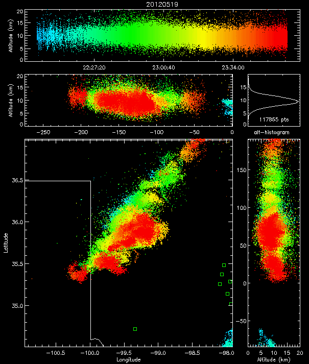
The OK-LMA provides three-dimensional mapping of lightning channel segments over west central Oklahoma and two-dimensional mapping of all lightning over most of Oklahoma. Up to thousands of points can be mapped for an individual lightning flash, to reveal its location and the development of its structure.
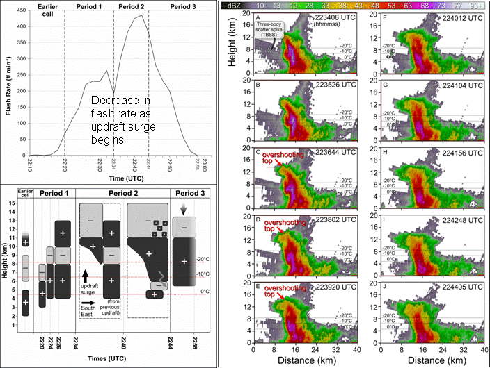
NSSL scientists hope to learn more about how storms produce intra-cloud and cloud-to-ground flashes and how each type is related to tornadoes and other severe weather.
The OKLMA data will complement DC3 atmospheric chemistry measurements to help estimate how much NOx, an ozone-precursor, is produced by lightning. Real-time lightning observations also will be used by scientists to help keep research aircraft away from lightning hazards to on-board equipment and flight instruments.


