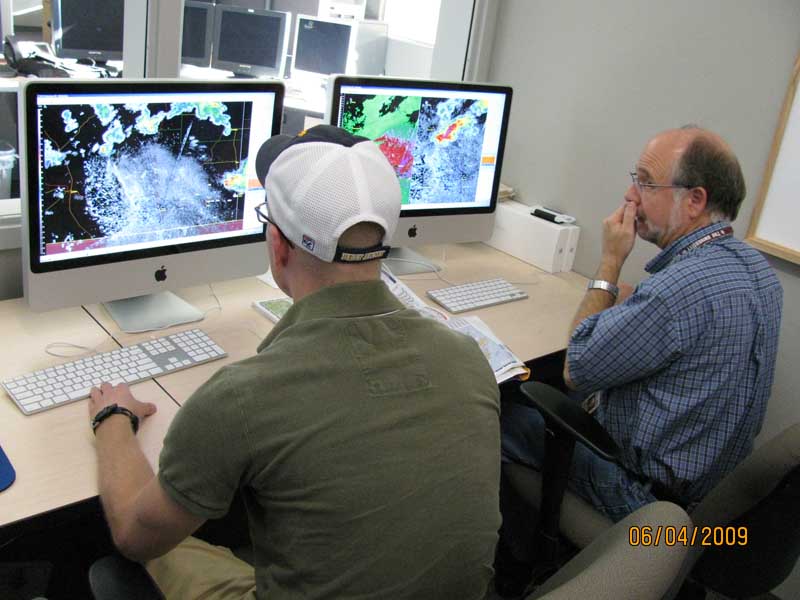
Starting today, researchers, modelers and forecasters from around the world will work together in a simulated operational forecasting environment to improve severe weather forecasts and warnings during the 2012 NOAA Hazardous Weather Testbed Spring Experiment.
Forecasters will be given a first-hand look at cutting edge forecasting strategies and applications to provide researchers and developers useful feedback before they are implemented in National Weather Service (NWS) forecast operations.
NSSL, the NOAA Storm Prediction Center, and NOAA National Weather Service Forecast Office in Norman, Okla. sponsor the project each year. The experiment runs from May 7, 2012 through June 15, 2012 at the National Weather Center.
The NOAA Hazardous Weather Testbed (HWT) has two branches, the Experimental Forecast Program (EFP) and the Experimental Warning Program (EWP). They each have independent but complementary goals during the five-week experiment.
The 2012 Spring Forecasting Experiment, conducted by the EFP, investigates our ability to generate skillful forecasts for thunderstorms and severe weather over the continental United States. The focus this spring will be on accurately depicting the evolution of the environment before thunderstorms form, along with thunderstorm trends and transitions over time. For severe weather, experimental outlook-type forecasts that include areas and probabilities of severe weather for shorter time periods than previously attempted. In support of the Warn-on-Forecast effort, participants will address the extraction and display of relevant storm hazard information from model-generated thunderstorms. They will also develop guidance that provides uncertainty information about specific thunderstorm threats such as tornadoes, hail and wind. Each day during the experiment, activities will include a combination of experimental forecasting, subjective evaluation, discussion, and documentation.
The EWP targets detecting and predicting severe weather hazards on a small scale: from a few minutes to a few hours and over areas the size of several counties down to the size of neighborhoods. Participants in the 2012 EWP will test and evaluate applications geared toward NWS forecast office severe thunderstorm warning operations. They will evaluate a real time hazardous weather analysis and detection system using data from the WSR-88D network and from model analyses and forecasts. Multiple GOES-R applications, including lightning mapper products, and the performance and utility of an experimental forecast model will be assessed.
Also part of the EWP, the Phased Array Radar Innovative Sensing Experiment (PARISE) examines the use of adaptive, rapid-scan radar data for detection and prediction of severe weather hazards. Participants in the 2012 PARISE will work several archived severe weather events and interact with facilitators to produce timelines of their decision processes and observed storm evolution. The timelines will be used to assess the importance of adaptive, rapid-scan data in warning decision making.
The Spring Experiment has been the cornerstone of the HWT for more than a decade, where forecasters are provided with a first-hand look at the latest research and concepts and products. At the same time, research scientists gain valuable understanding of the challenges, needs and constraints of front-line forecasters. The end result meets another NWS goal to increase the development, application and transition of advanced science and technology to operations and services.


