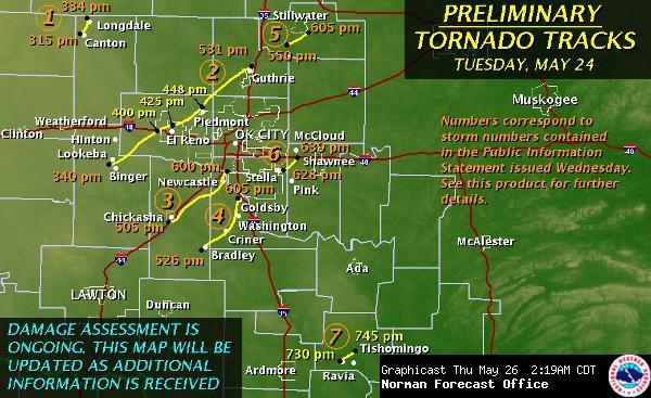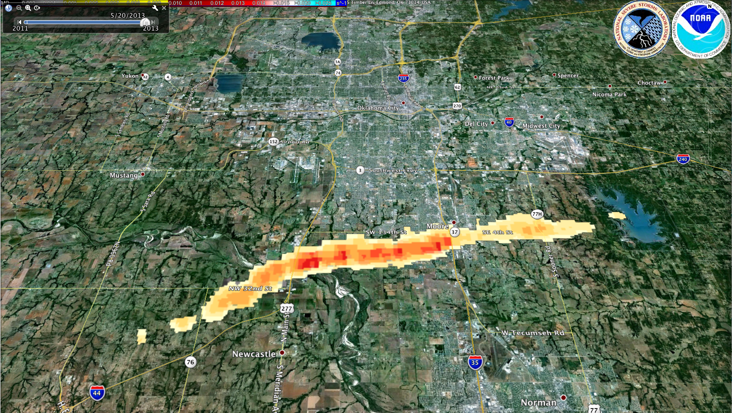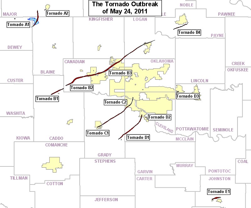
Recent analysis of data from NOAA NSSL’s prototype dual-polarization radar during a significant tornado outbreak in central Oklahoma this past spring showed debris from a damaging tornado. This critical information can help a forecaster confirm the presence of a rain-wrapped tornado, or a tornado at night causing damage on the ground.
Current NOAA National Weather Service (NWS) radars send a horizontal electromagnetic wave field into the sky. When the wave field bounces off an object in its path, it is reflected back to the radar and gives a measurement of the horizontal size of that object. Dual-polarization radar sends both horizontal and vertical electromagnetic wave fields, giving a forecaster a measure of the size and shape of the object. Combining and comparing these measurements can categorize rain, hail, snow, birds, insects, and tornado debris. All NOAA National Weather Service radars will be upgraded with dual-polarization technology beginning in late 2010.
NSSL researchers studying the tornado outbreak confirmed four rotation signatures in the radar velocity data. Tornado warnings had been issued based on this information. However, these measurements cannot confirm tornadoes are causing damage on the ground because the radar beam is above ground level.
NSSL research showed dual-polarization radar data identifies debris signatures differently from radar echoes. Leaves, shingles or insulation are randomly oriented, while precipitation echoes behave fairly predictably.
Tornado debris signatures were identified by researchers in the dual-polarized data from the May 10, 2010 outbreak indicating a rain-wrapped tornado was producing damage on the ground. This tornado killed two people.
NSSL developed, tested and evaluated dual-polarization technology over the past 25 years, culminating in a demonstration project that convinced the NWS to upgrade all their radars with this technology.


