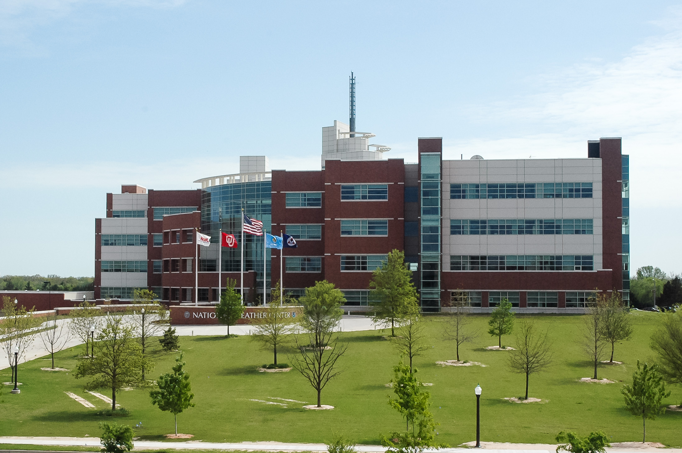
A major ice storm loomed on the horizon of the National Weather Center in Norman, Okla., during the last week of January. Temperatures were expected to hover around freezing, and a hazardous mix of freezing rain, sleet and snow threatened to shut down much of the state.
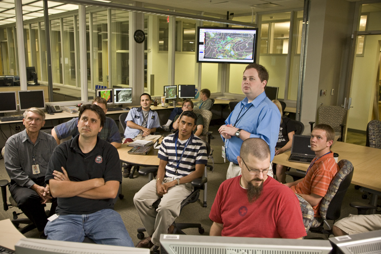
The brewing storm was the main topic at the “Map Discussion” on Monday that week. Map discussions are held over lunch every Monday in the NOAA Hazardous Weather Testbed at the National Weather Center. They are a unique opportunity for the many federal, state, local and university weather groups housed together to jointly analyze weather forecast maps. When high impact weather affects the United States, the group meets more often.
“We have 30-40 people attend on a regular basis,” said Patrick Marsh, University of Oklahoma graduate student working for National Severe Storms Laboratory /Cooperative Institute of Mesoscale Meteorological Studies, who co-leads the gatherings.
Greg Carbin from the National Weather Service Storm Prediction Center co-leads the map discussion with Marsh and commented, “When meteorologists of different backgrounds and specialties gather to discuss the day-to-day weather in the NOAA Hazardous Weather Testbed, they are taking part in advancing the science.”
Special map discussions were held as the week went on, and on Wednesday, Jan. 27, there was a record crowd of 74 people. Some of the best minds in meteorology and their students had gathered, united by a common passion for weather and a curiosity to figure out how the storm was going to affect them personally.
It was a tricky forecast. A subtle difference in location or temperature would change the forecast from ice to snow.
“We’ll start off with the National Watch/Warning graphic. As you can see, for basically the northwest 2/3 of Oklahoma and the Texas panhandle, the winter storm watch has been converted to a winter storm warning,” began Marsh. The group spent the next half hour discussing all types of weather forecast maps, including many experimental forecast products.
The Wednesday map discussion was so productive Marsh posted a videocast online (http://vimeo.com/9031940) for those who couldn’t attend but wanted to know what happened. As the dangerous mix of frozen precipitation began to pummel central Oklahoma, a listserv was created to extend the dialogue.
By mid-afternoon on Thursday, freezing rain had already caused a layer of ice to accumulate on trees and roads. By evening, much of central and southwest Oklahoma reported downed power lines, large broken tree limbs and damaged radio towers. More than 100,000 people were without power. In the end most schools and some businesses were shut down for five to six days.
For those who still had electricity, the exchange continued on the listserv from their homes. Why did the precipitation end so abruptly in southwest Oklahoma? Why did the models seem to struggle with the structure and timing of the forecasted precipitation? Teachers, students, practitioners and researchers all brainstormed together to answer nagging questions.
The discussions, inspired by the National Severe Storms Laboratory and the Storm Prediction Center, are intended to bridge forecast operations and research by offering an opportunity to share ideas in an informal setting. “This building exists for researchers and forecasters to work together,” said Marsh.


